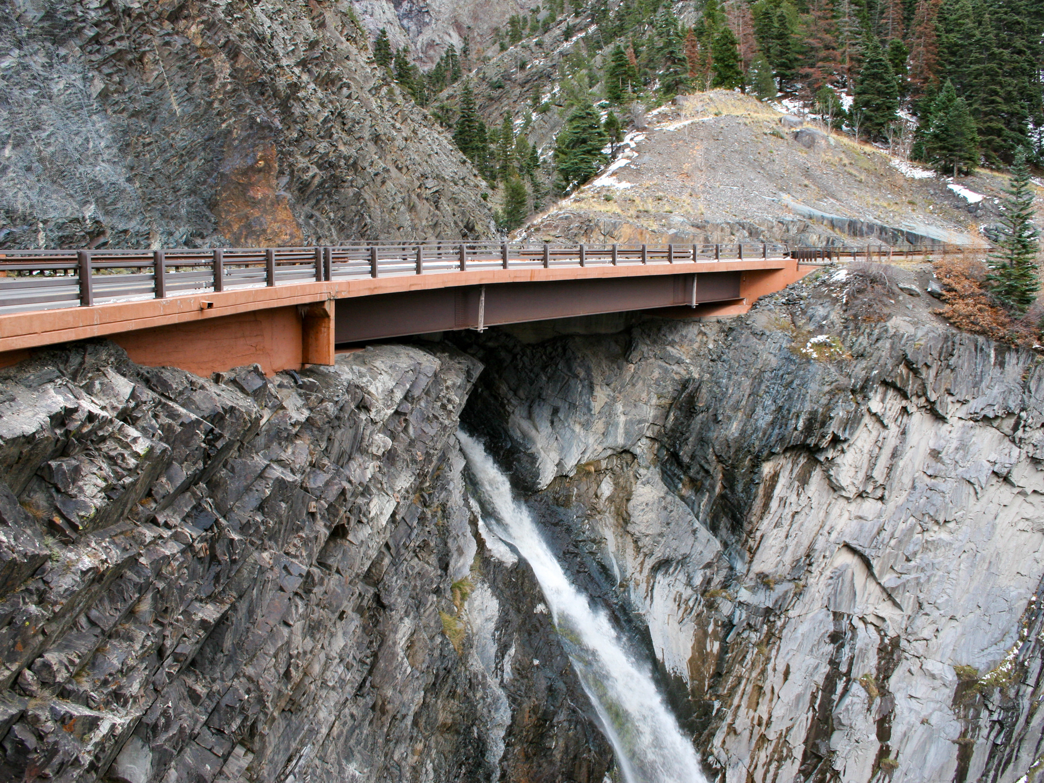
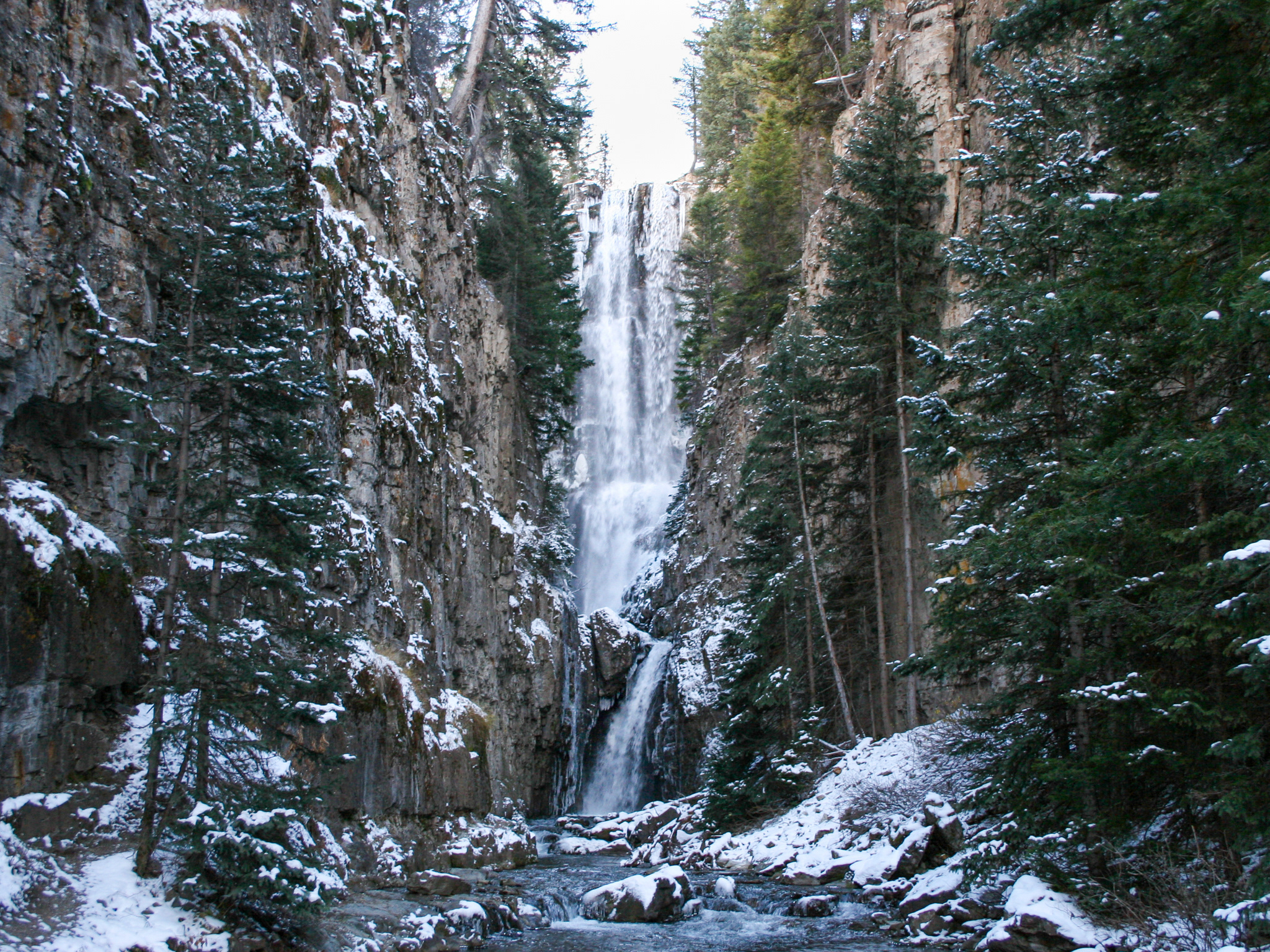
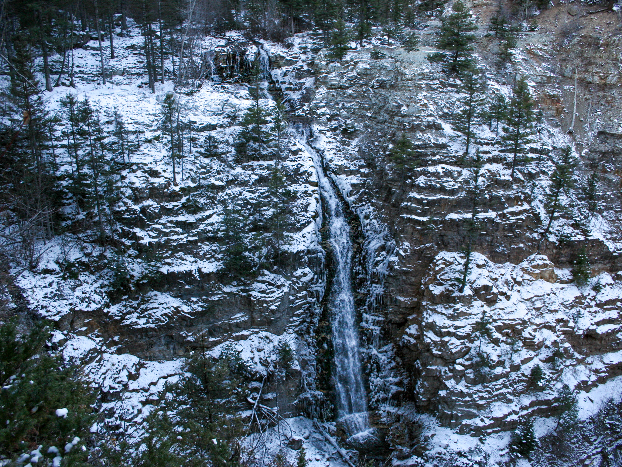
Bridal Veil Falls is a magnificent, 365-foot, free-falling waterfall inside the Uncompahgre National Forest on the outskirts Telluride, Colorado, a well-known mountain town. It's also the tallest free-falling waterfall in the state. Previously, this waterfall was only accessible by off-road vehicles or by hiking Bridal Veil Road for 1.5 miles. In the fall of 2019, however, the Southwest Conservation Corps completed construction of the Bridal Veil Trail, which meanders 1.1 miles through a pine, fir, and spruce forest. Part of this trail goes through private land, so it's important to stay on the trail. The trail provides access to two additional cascades along Bridal Veil Creek. From the trailhead, it's about 0.6 miles to the 30-foot Lower Bridal Veil Falls. From there, it's another 0.25 miles to Middle Bridal Veil Falls, which falls about 25 feet. After that, it's 0.35 miles to see Upper Bridal Veil Falls, otherwise known as just Bridal Veil Falls.
At the top of the falls is the Smuggler-Union Hydroelectric Power Planet, also known as the Bridal Veil Powerhouse. It was built in 1907 to power the Smuggler-Union Mine and was in use until 1953. In 1991, the plant was restored and began generating power once again until 2010. If it was still in operation today, it would be able to generate enough power to power roughly 2,000 homes.
Note: The trail signage indicates the trail is for advanced hikers only, as the trail is primitive and can be unsafe during winter conditions. I would say the trail is fairly strenuous and does require some pretty vertical steps at some points. That said, it's a beautiful hike, and I would highly recommend it if you're able to do it!
Google Location: Bridal Veil Trail, Forest Service Rd 648, Telluride, CO 81435
Lower Falls GPS Location: 37.9230° N, 107.7743° W
Middle Falls GPS Location: 37.9219° N, 107.7736° W
Upper Falls GPS Location: 37.9194° N, 107.7699° W
Parking: Lot
Total Hike: 2.2 miles
Wheelchair Accessible: No
Admission: Free
Open: 24/7
Swimming: Yes
Pets: Yes, with leash
Lower Falls GPS Location: 37.9230° N, 107.7743° W
Middle Falls GPS Location: 37.9219° N, 107.7736° W
Upper Falls GPS Location: 37.9194° N, 107.7699° W
Parking: Lot
Total Hike: 2.2 miles
Wheelchair Accessible: No
Admission: Free
Open: 24/7
Swimming: Yes
Pets: Yes, with leash


