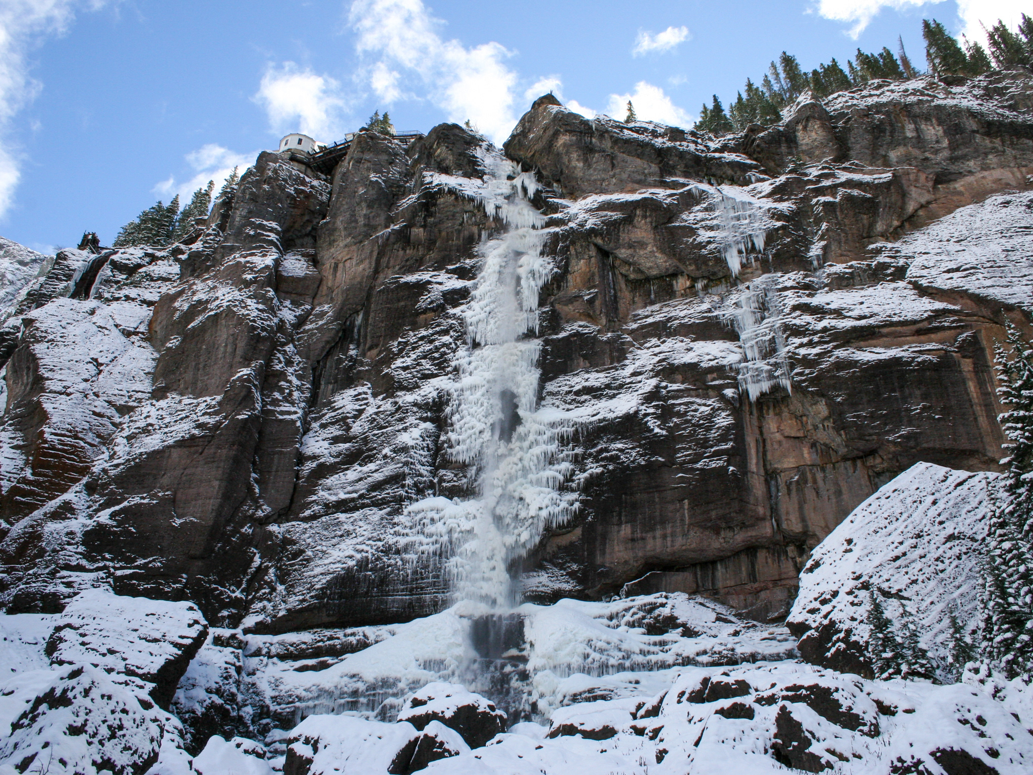
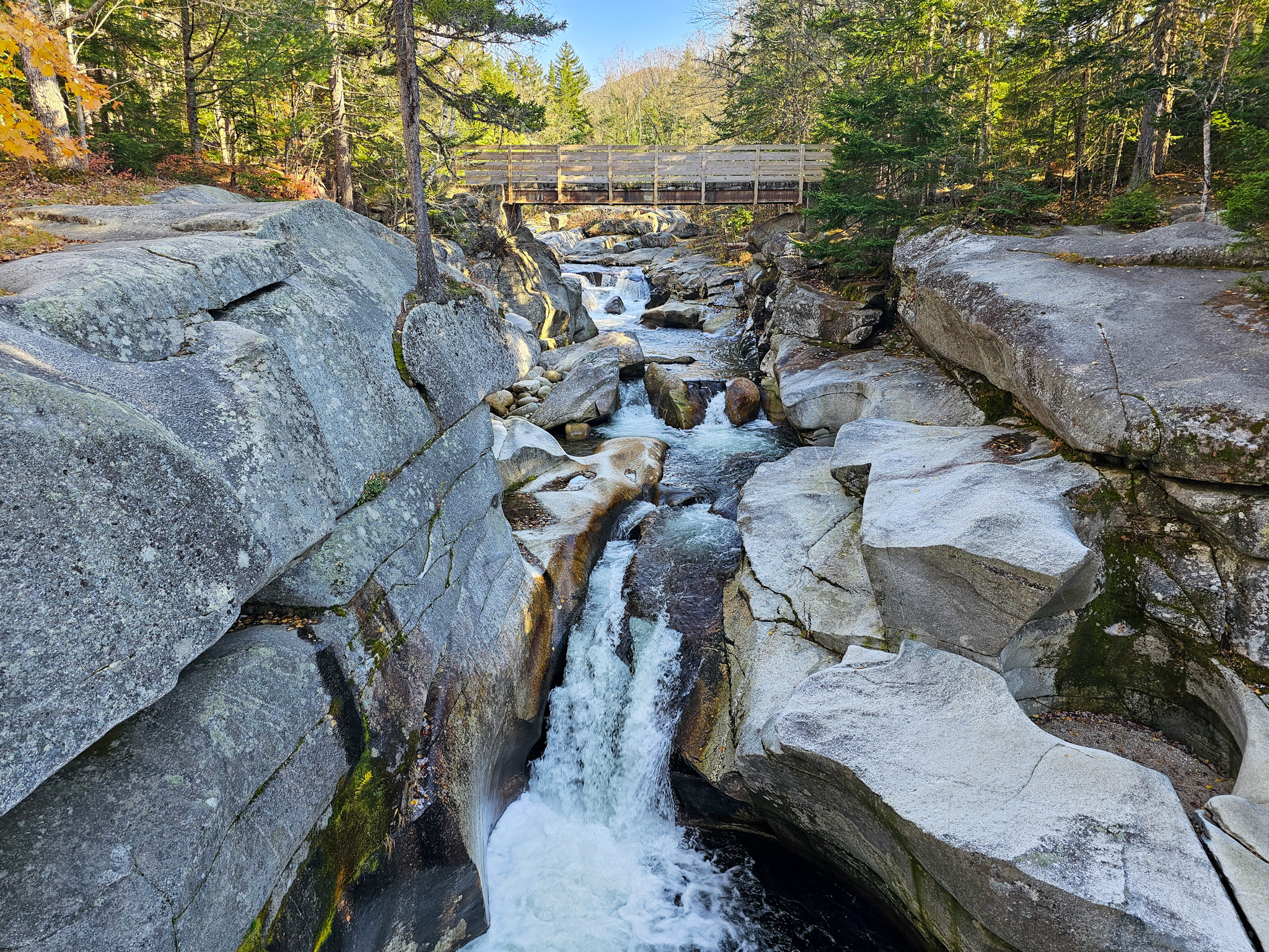
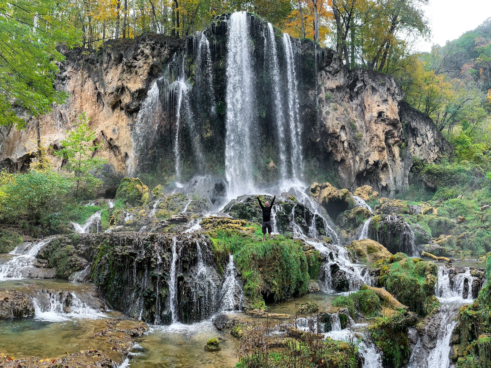
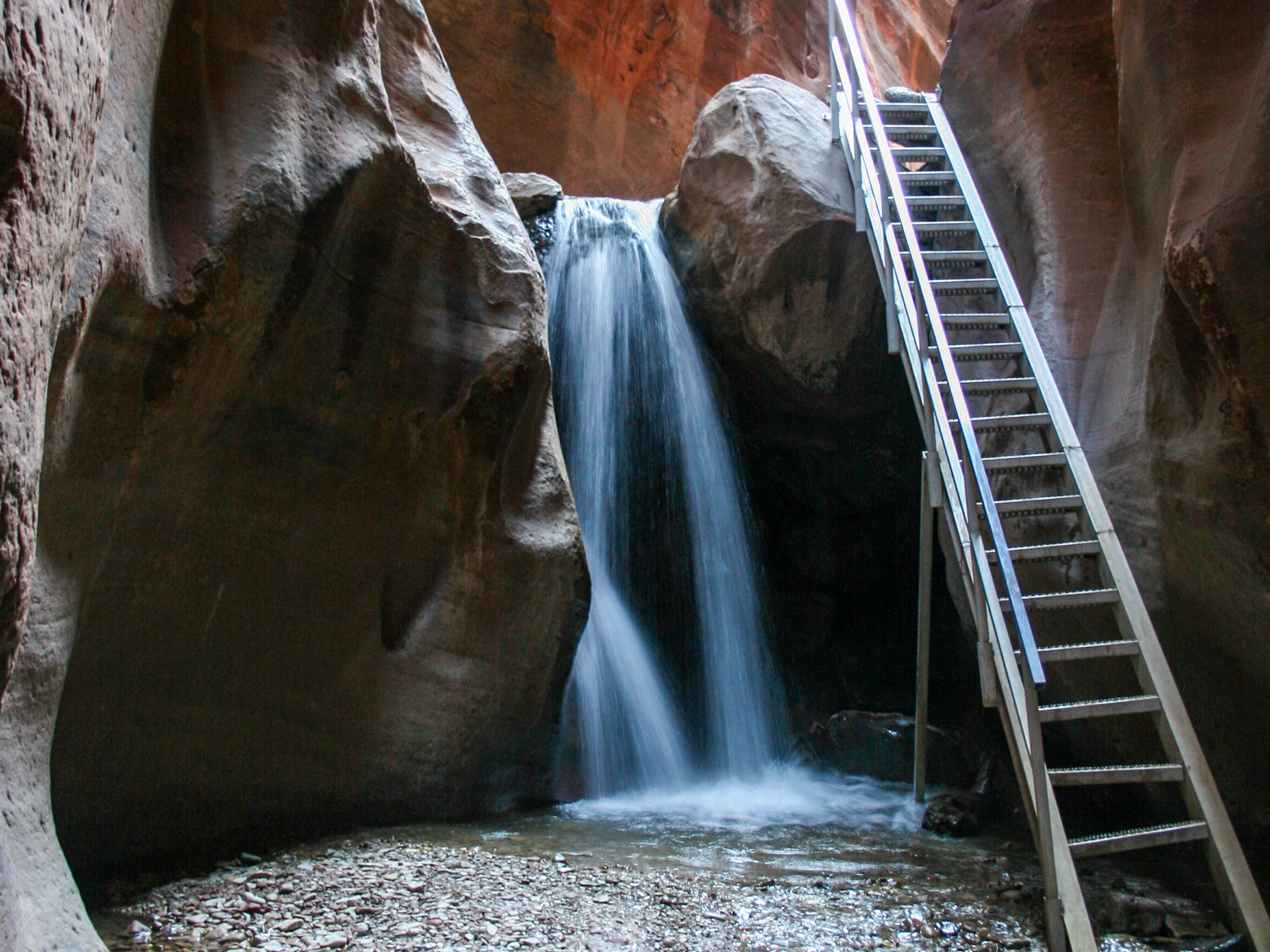
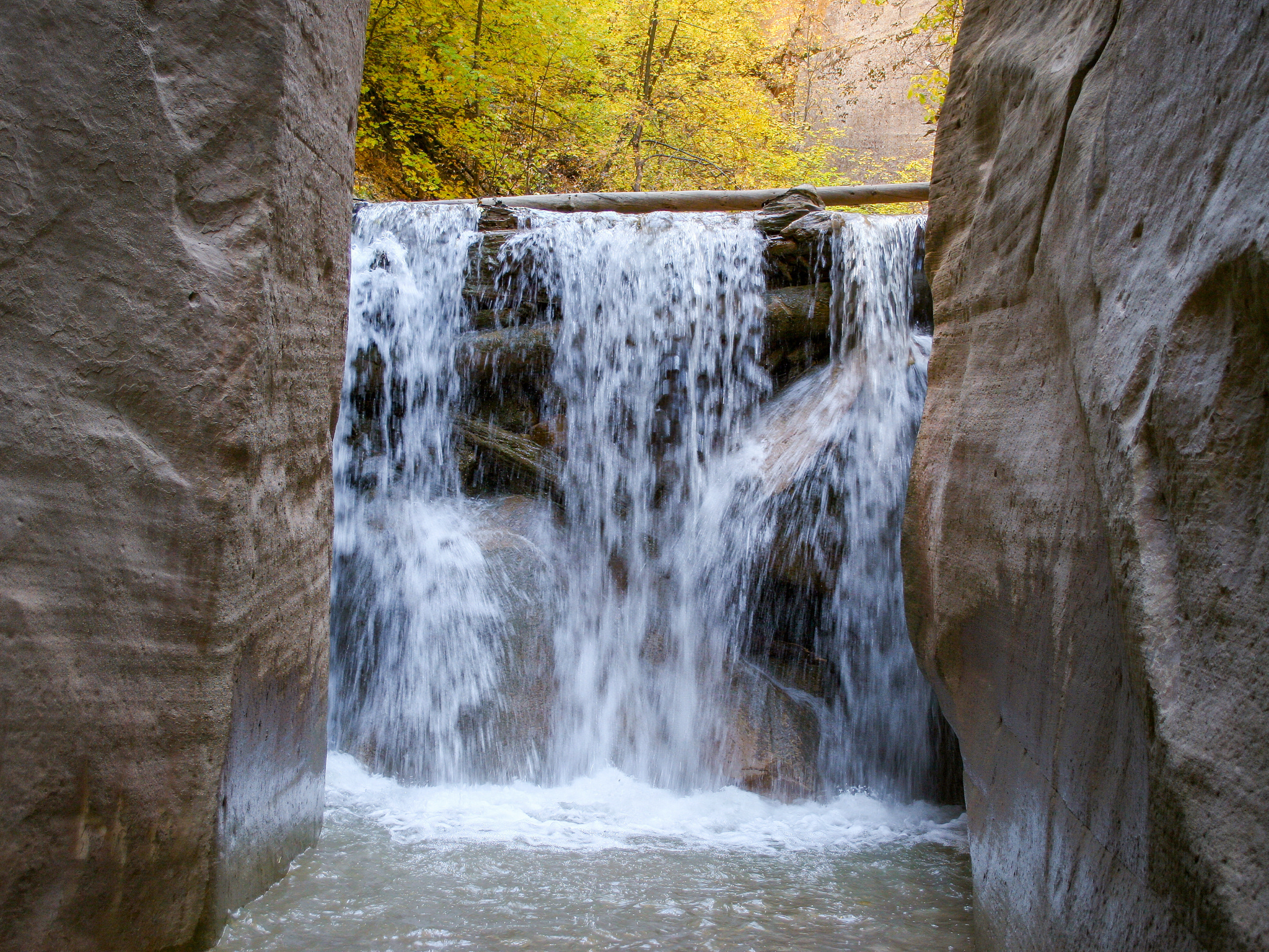
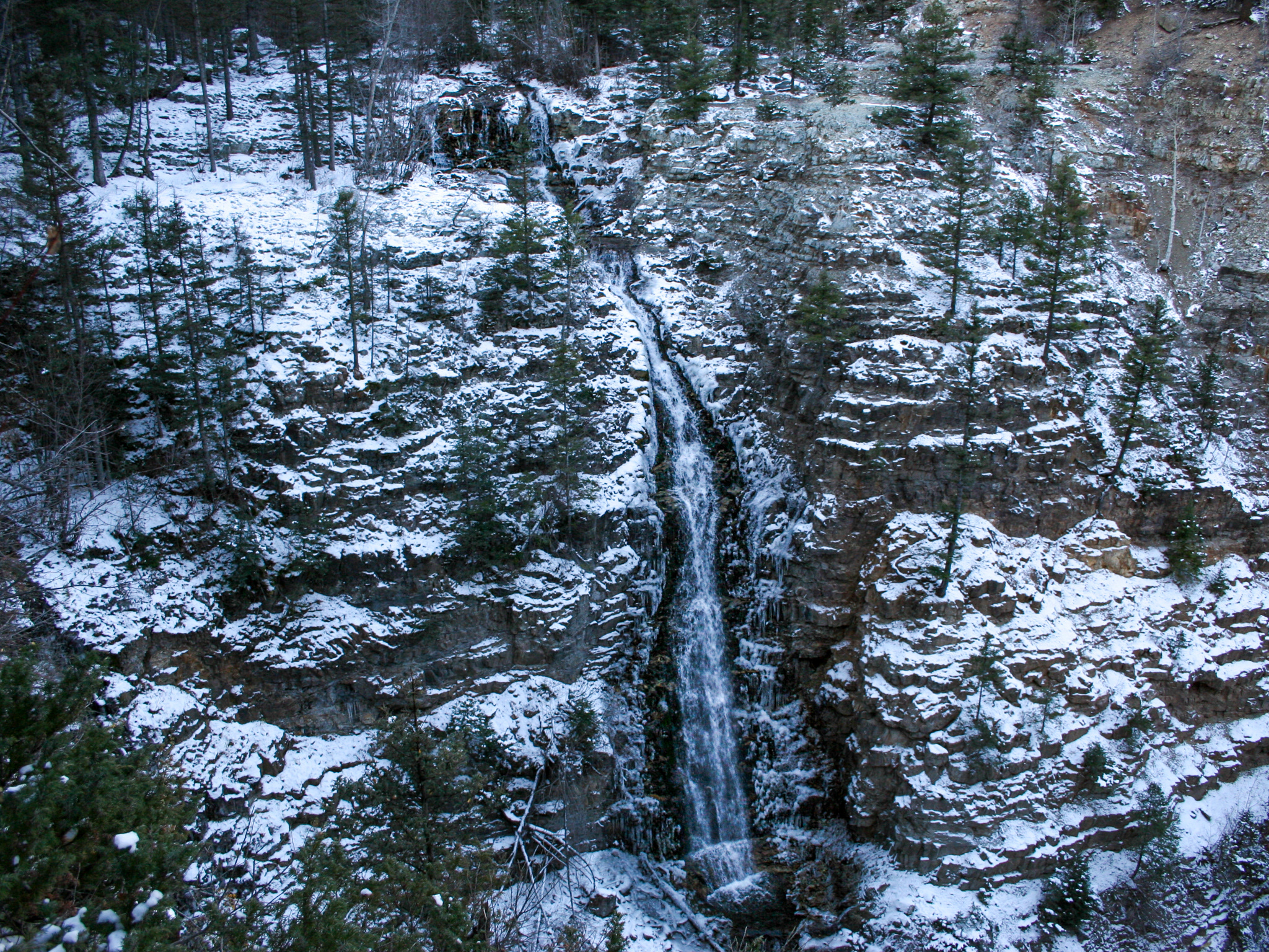
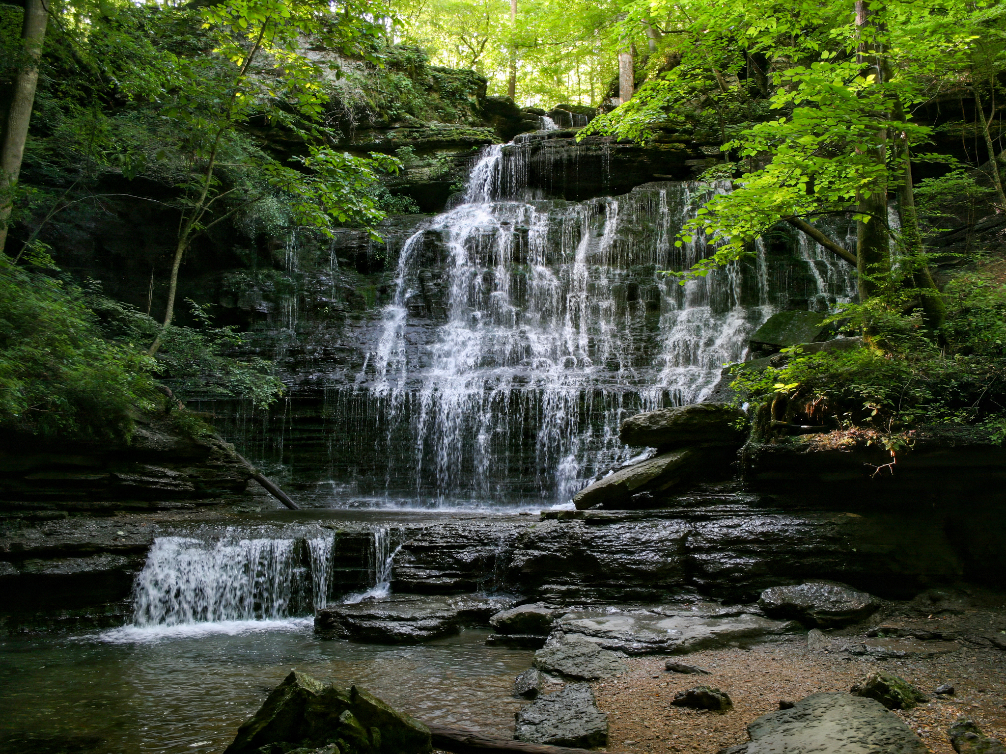
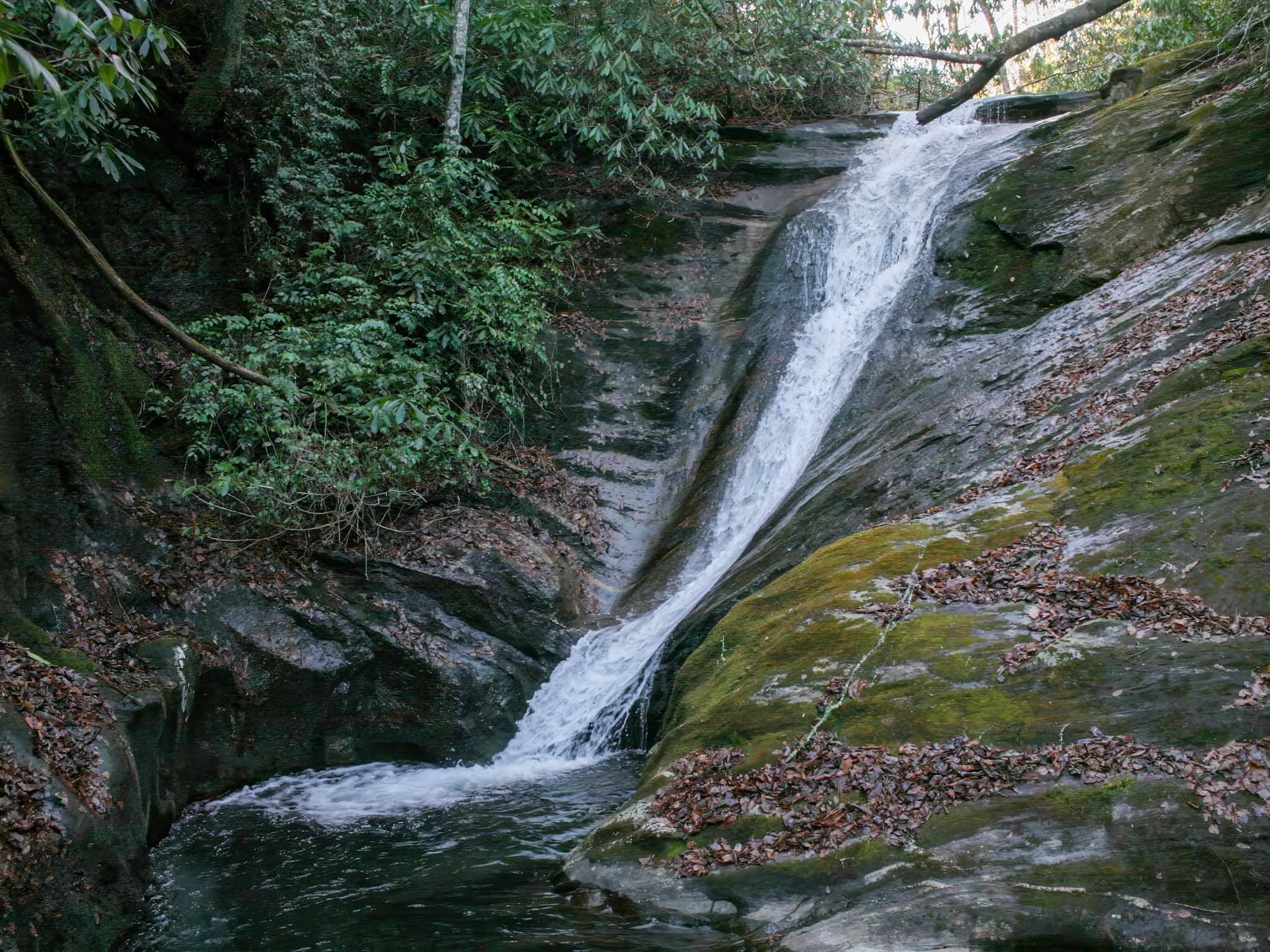
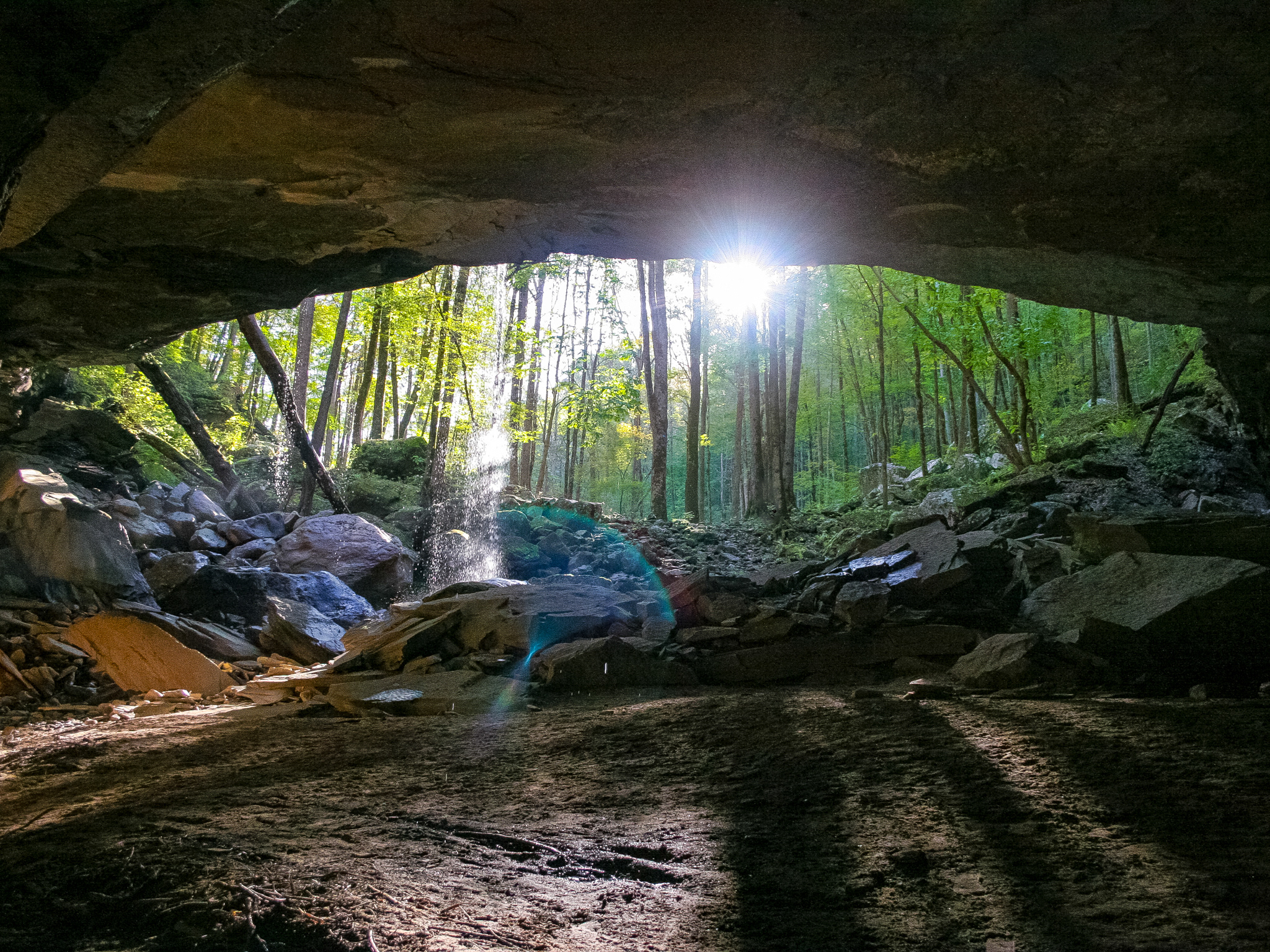
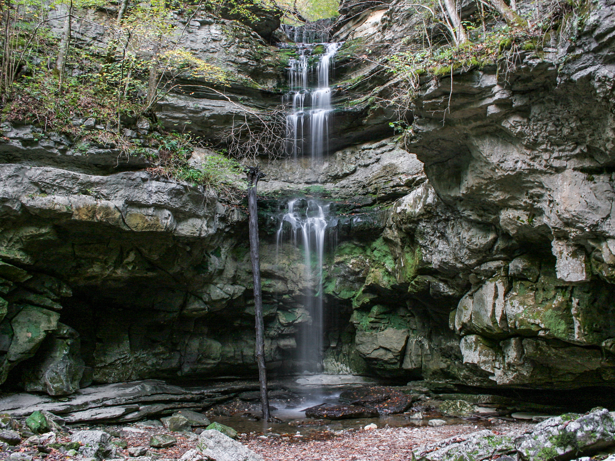
Mystic Falls is a beautifully picturesque 80-foot waterfall located in the small town of Ames, Colorado, just outside of Telluride. Enchanting in every season, it's remained relatively unknown. Why? Well, there's no official trailhead marker, no official trail maps online, and the trail itself is not well-marked. The trail also skirts close to private property, so hikers must take care to follow the correct route.
Anyways, if you do want to try to find Mystic Falls, here's how! Reaching the trailhead requires use of an off-road capable vehicle. Alternatively, if that's not an option, you can add 0.4 miles to the hike each way and park at the Ames Hydroelectric Generating Plan. From the plant, follow the road immediately past the plant on the left. You will pass a green cabin on the left and then a brown cabin on the right. After that, you'll come to a fork in the road. Follow the main road. You will then come to another fork. Go right. In roughly 0.1 miles, you will arrive at the Mystic Falls trailhead and parking area. Lake Fork Falls is visible from the back of the lot. To get a closer view, follow the trail for a bit at the back left (south) of the lot when facing the falls. Continue following the narrow trail as shown in the map below. You will, at one point, encounter an outcropping of rock that overlooks the top of Mystic Falls. From there the trail proceeds north downhill and narrows again. It then loops back down into the gorge. Continue up the edge of the gorge and Mystic Falls will come into view.
Note: The map below is based on the route I took. GPS signal was spotty, so the path is not perfect, but the general directions are accurate.
Google Location: Ames Hydroelectric Generating Plant, 699 Ames Rd, Telluride, CO 81435
GPS Location: 37.8626° N, 107.8846° W
Parking: Lot
Total Hike: 1.8 miles
Wheelchair Accessible: No
Admission: Free
Open: 24/7
Swimming: No
Pets: Yes, with leash
GPS Location: 37.8626° N, 107.8846° W
Parking: Lot
Total Hike: 1.8 miles
Wheelchair Accessible: No
Admission: Free
Open: 24/7
Swimming: No
Pets: Yes, with leash
Trail Map for Lake Fork Falls and Mystic Falls

