Yellowstone Falls is a 125-foot multi-cascade waterfall in the Graveyard Fields area, a popular spot along the Blue Ridge Parkway at milepost 418.8. The area is known for two waterfalls, Upper Falls and Second Falls. However, downstream from Second Falls lies Yellowstone Falls, and in my opinion it's the best of the three but the hardest to reach.
There are a couple of different approaches online to reaching this waterfall. In my experience, the best way to navigate to it is via this route on AllTrails. This hike is fairly difficult and strenuous, requiring some route finding, navigating steep slopes, water crossing, and maneuvering through tight areas.
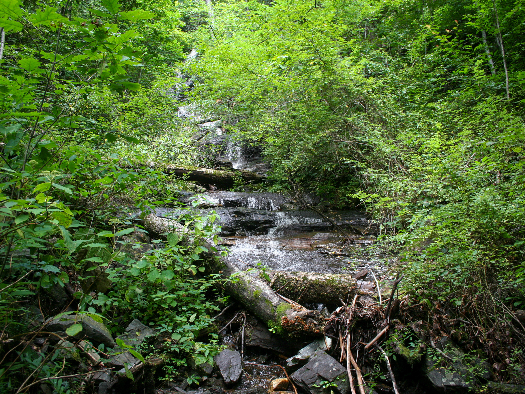
From the parking area, follow the Graveyard Fields Loop Trail. After crossing the bridge over Yellowstone Prong, you'll come to signage that indicates the path to Upper Falls on the left and Second Falls on the right. Take the path towards Second Falls. After a few feet, you'll reach another fork. The right path leads down to the base of Second Falls. The left path is the Mountain to Sea (MST) Connector Trail. Take the left path. After roughly 0.2 miles, you'll reach the MST. Continue straight (right/east) at this fork. After roughly another 0.2 miles, you'll see a spur trail leading down to Yellowstone Prong. Take this trail.
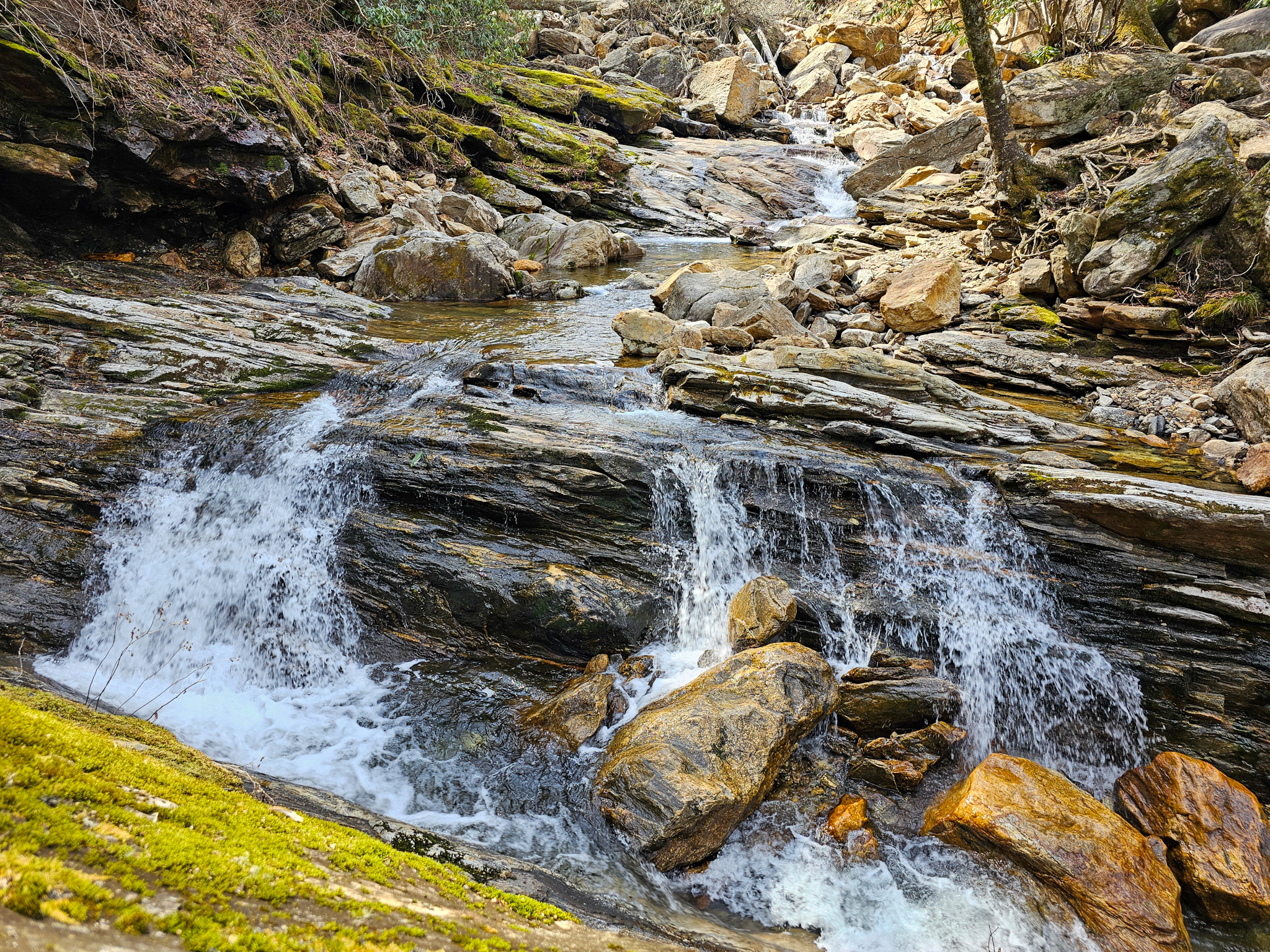
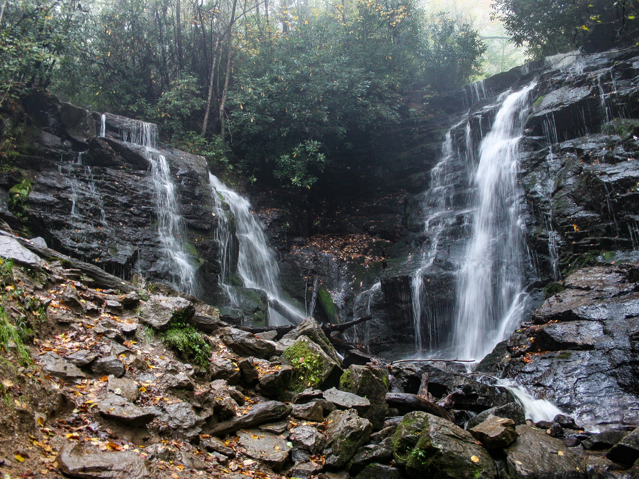
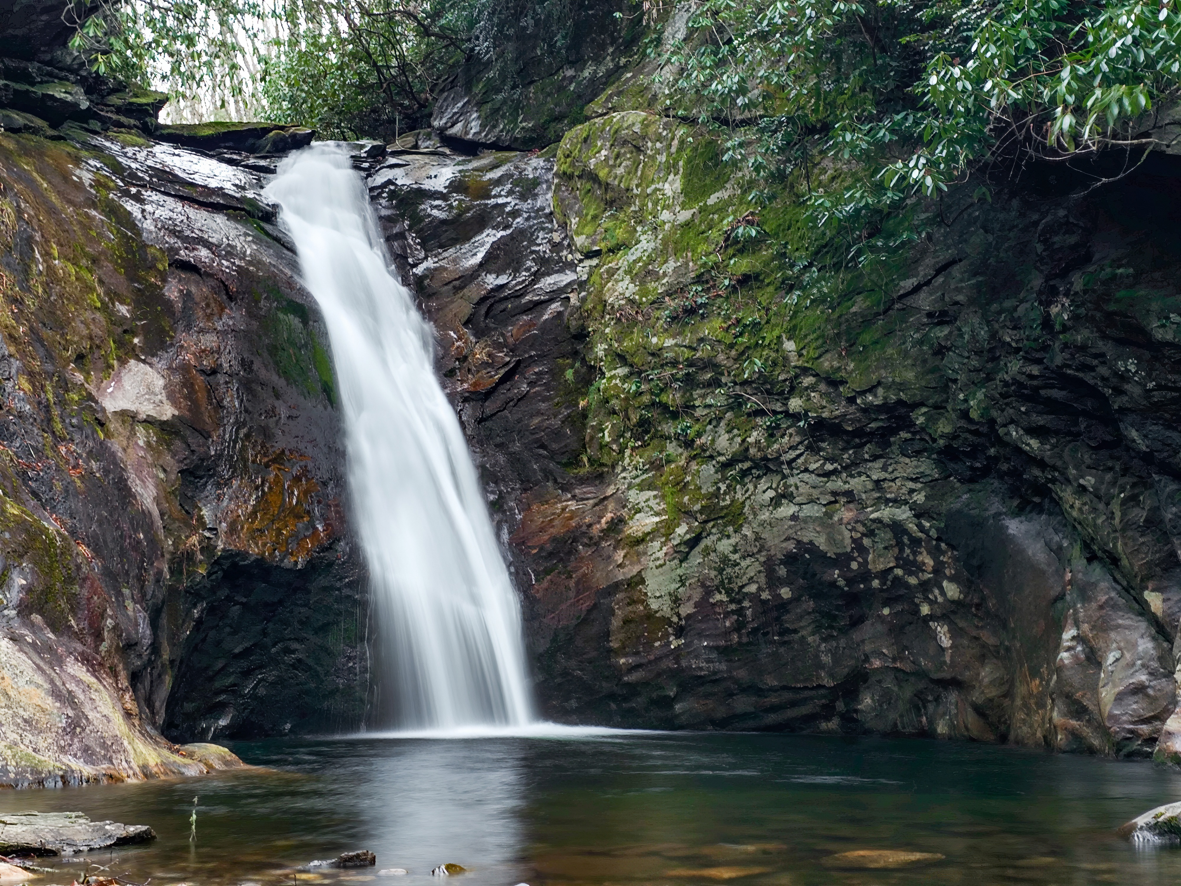
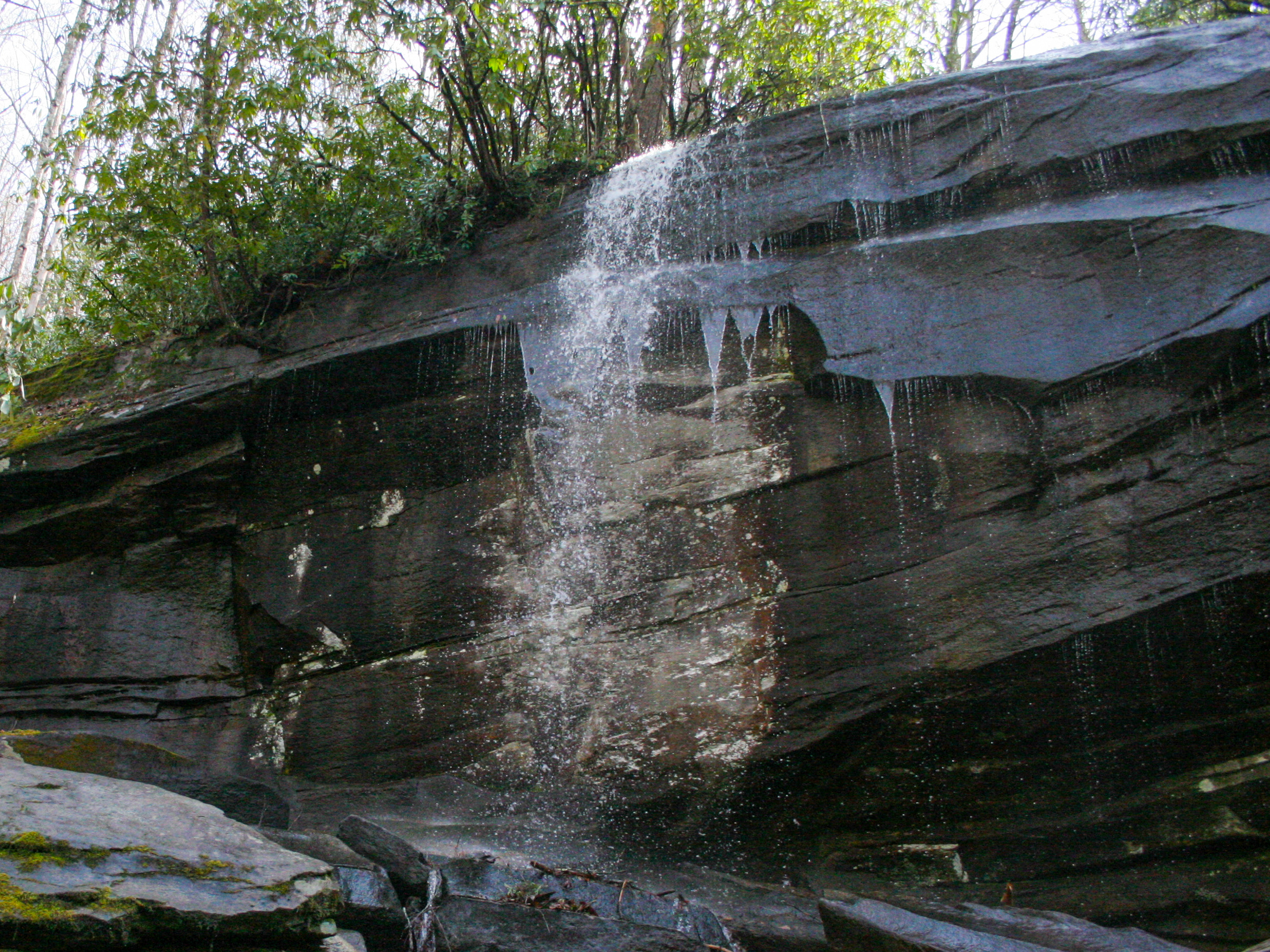
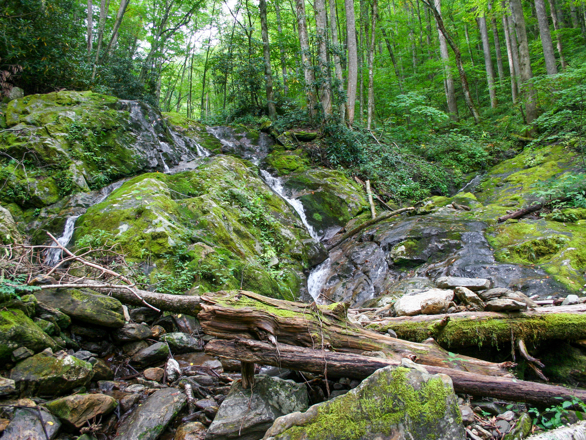
Cross the prong via some large boulders and the trail will pick up on the other side. From there, it's a roughly 0.1-mile descent through a dense rhododendron forest. The path will be somewhat visible, but at some points, you may have to really lean into route finding or making your own way. Along the way down you'll pass a spur route that takes you to the base of the upper section. Returning to the path and continuing down, you'll reach the middle section where the main drop is located. Scramble down to the prong for the best view. From there, scramble downstream to view the lower section from its base. The middle section will remain in view. Below are images of each section.
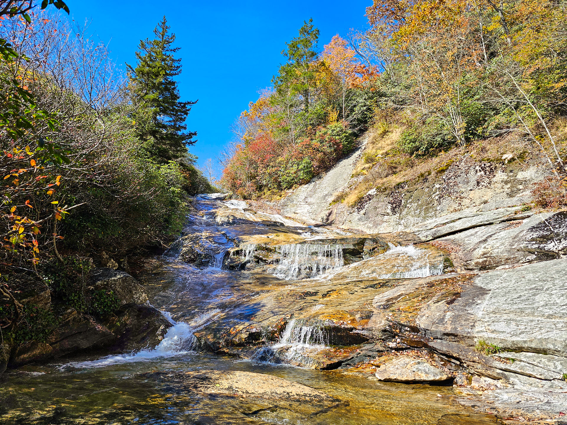
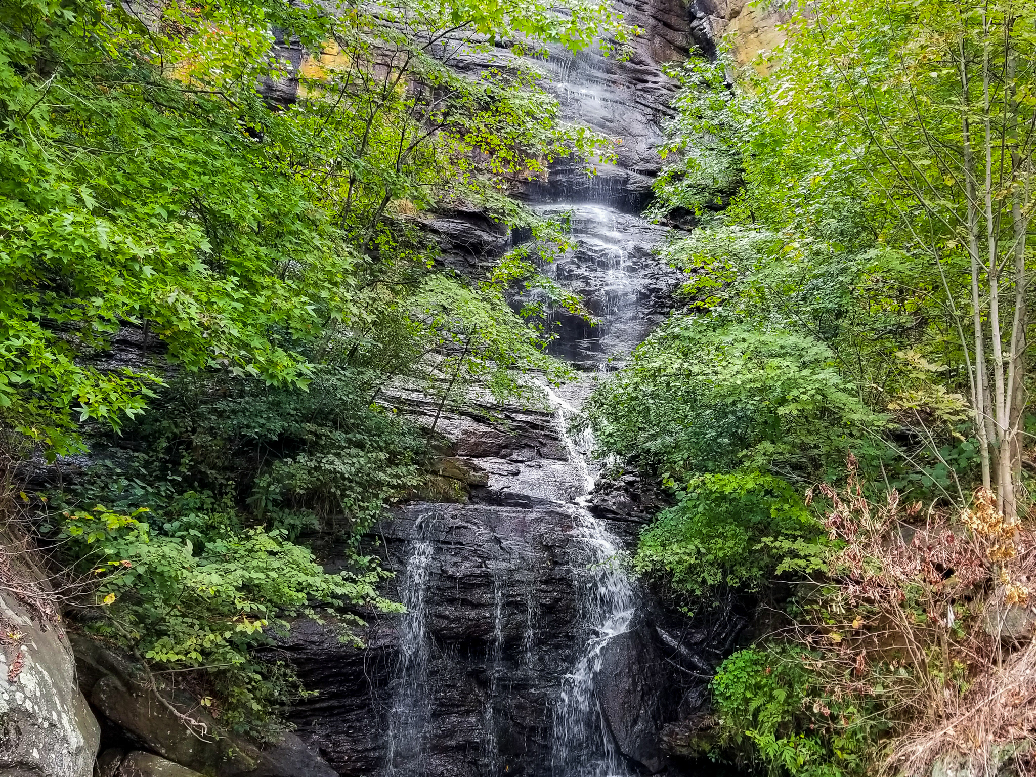
Upper Yellowstone Falls
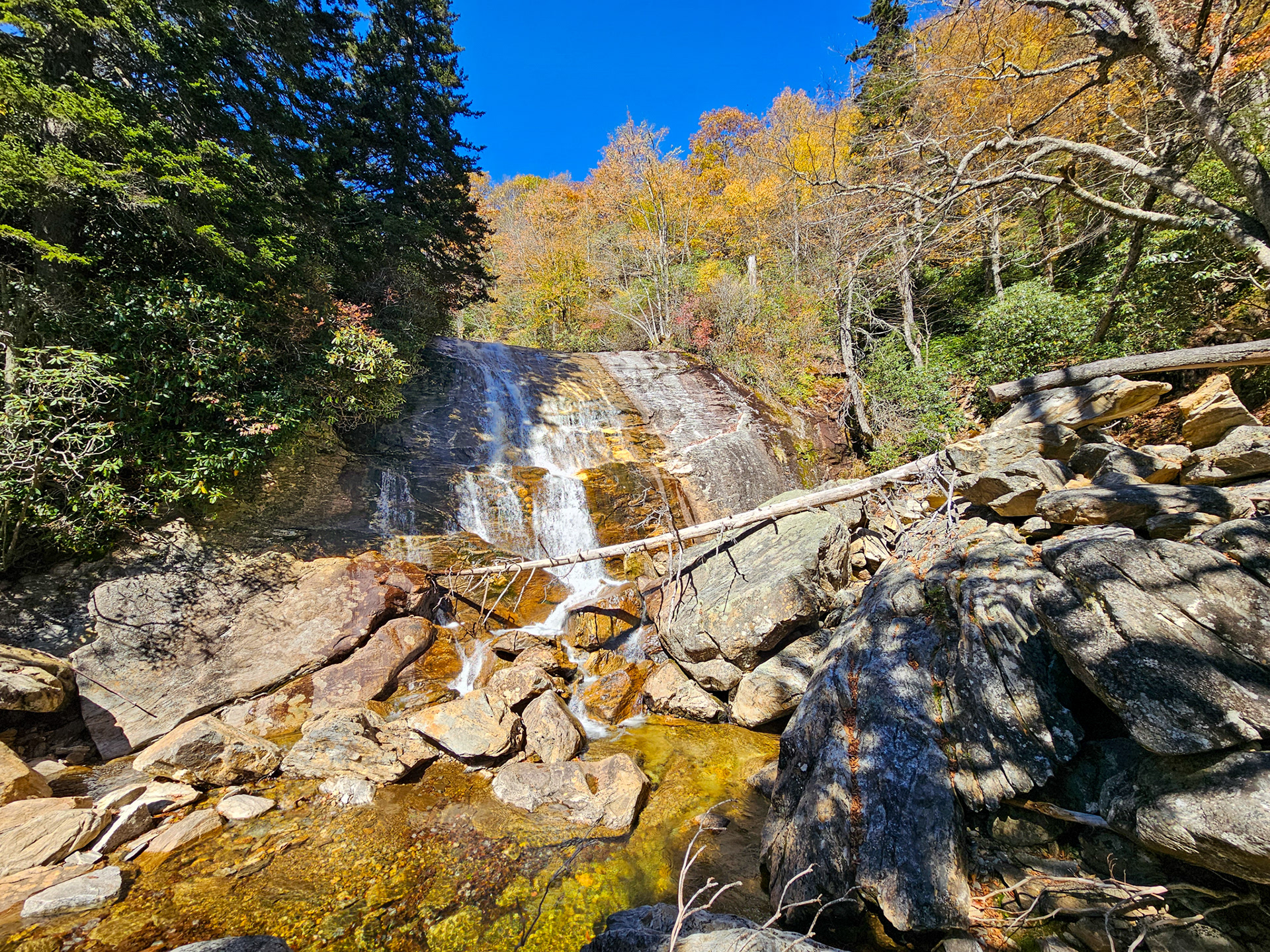
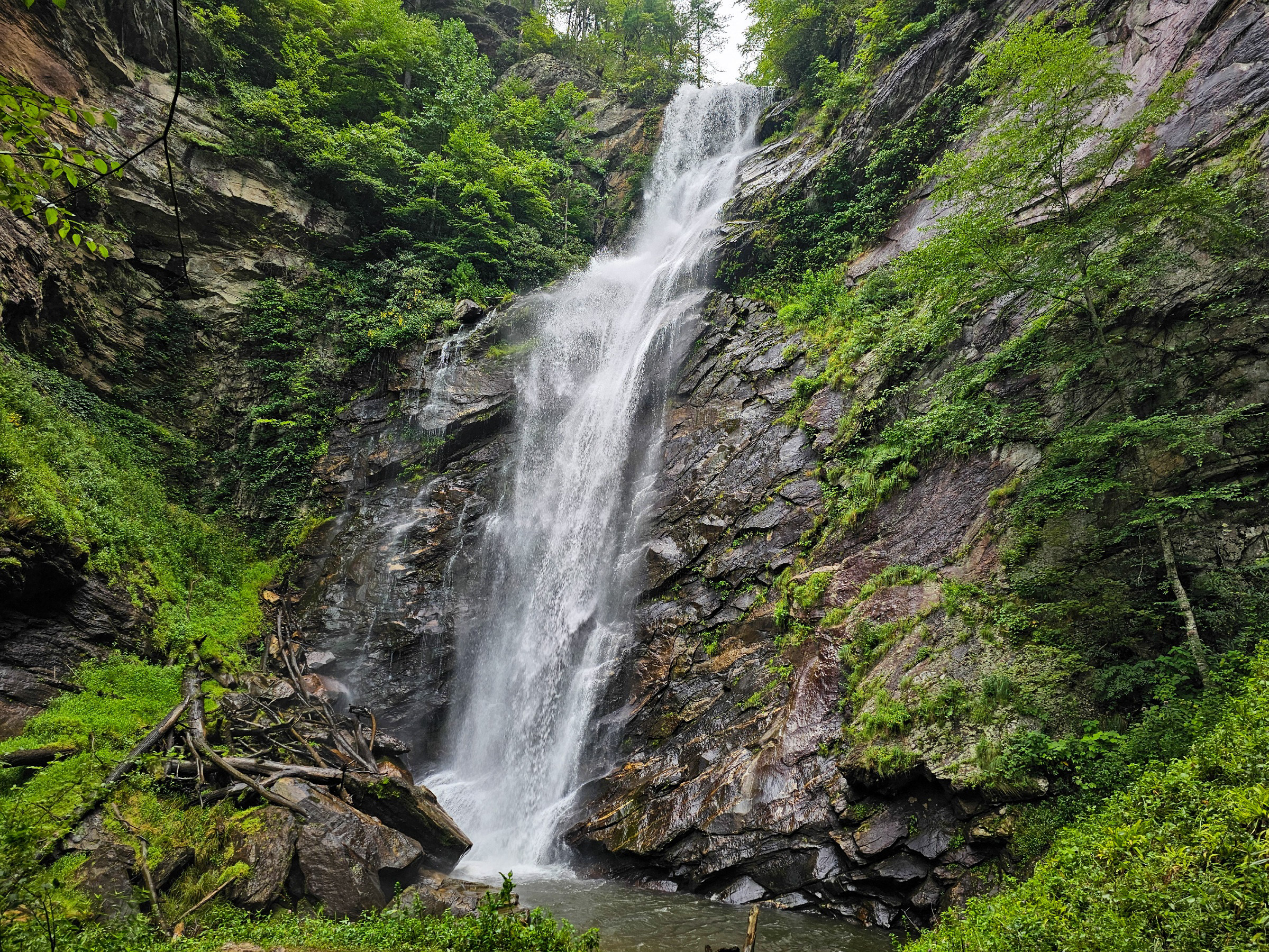
Middle Yellowstone Falls
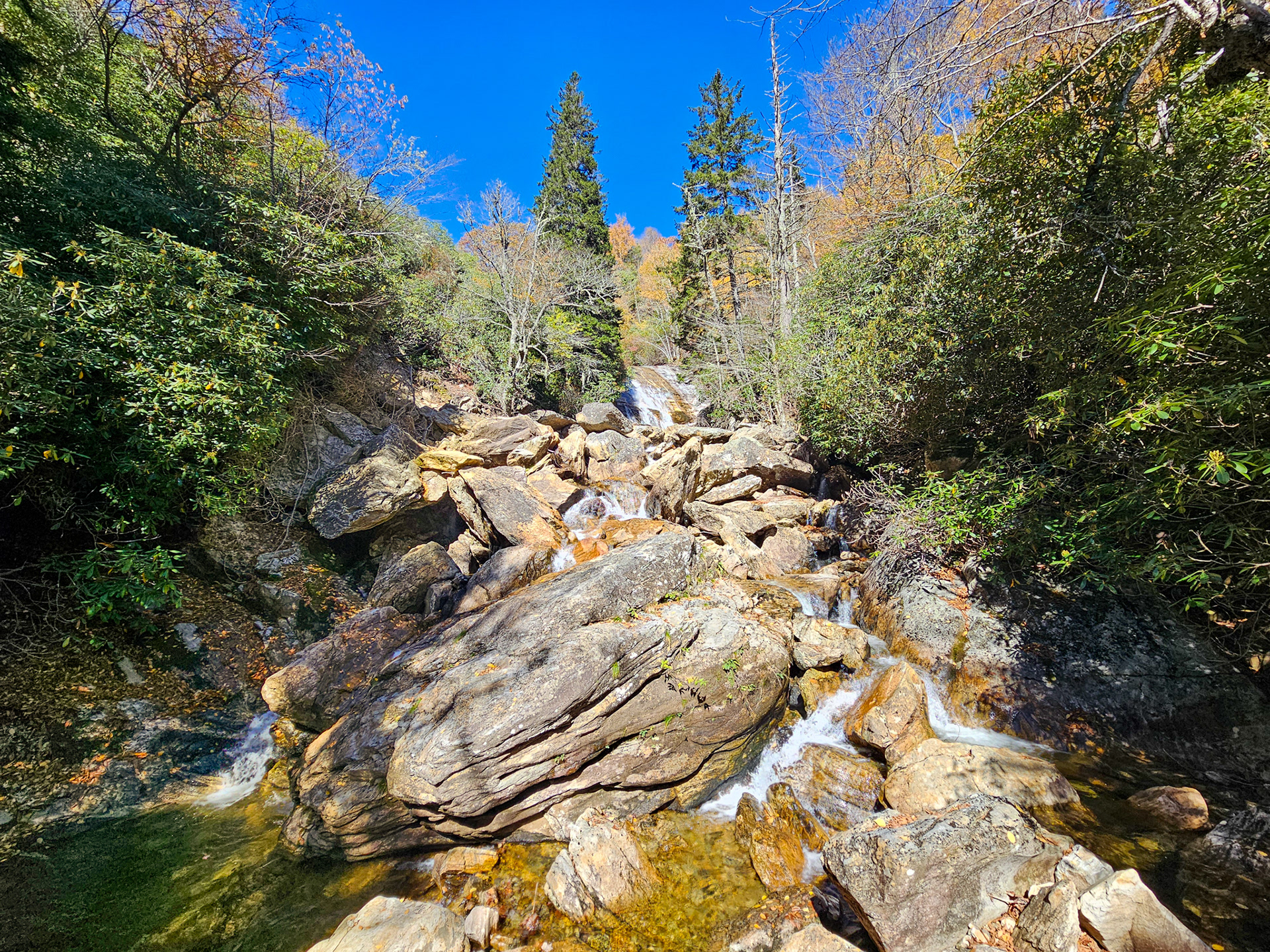
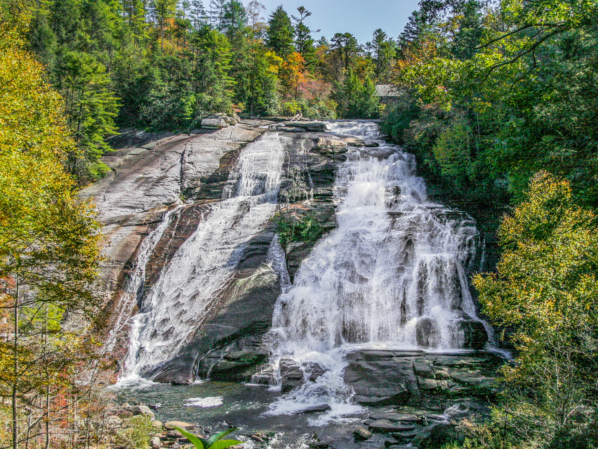
Lower Yellowstone Falls
This route is relatively untraveled, but the area itself is extremely popular. Plan for the parking lot to be filled if you go during a weekend. You'll likely need to park on the side of the road and walk down to the trailhead. Additionally, although the route is roughly 1.5 miles, plan to hike up to 2 miles to account for exploring the waterfall.
Google Location: Graveyard Fields, Canton, NC 28716
GPS Location: 35.3239° N, 82.8410° W (Upper) / 35.3238° N, 82.8409° W (Middle) / 35.3235° N, 82.8406° W (Lower)
Parking: Lot
Total Hike: 1.5 miles
Wheelchair Accessible: No
Admission: Free
Open: 24/7
Swimming: Yes
Pets: Yes, with leash
GPS Location: 35.3239° N, 82.8410° W (Upper) / 35.3238° N, 82.8409° W (Middle) / 35.3235° N, 82.8406° W (Lower)
Parking: Lot
Total Hike: 1.5 miles
Wheelchair Accessible: No
Admission: Free
Open: 24/7
Swimming: Yes
Pets: Yes, with leash