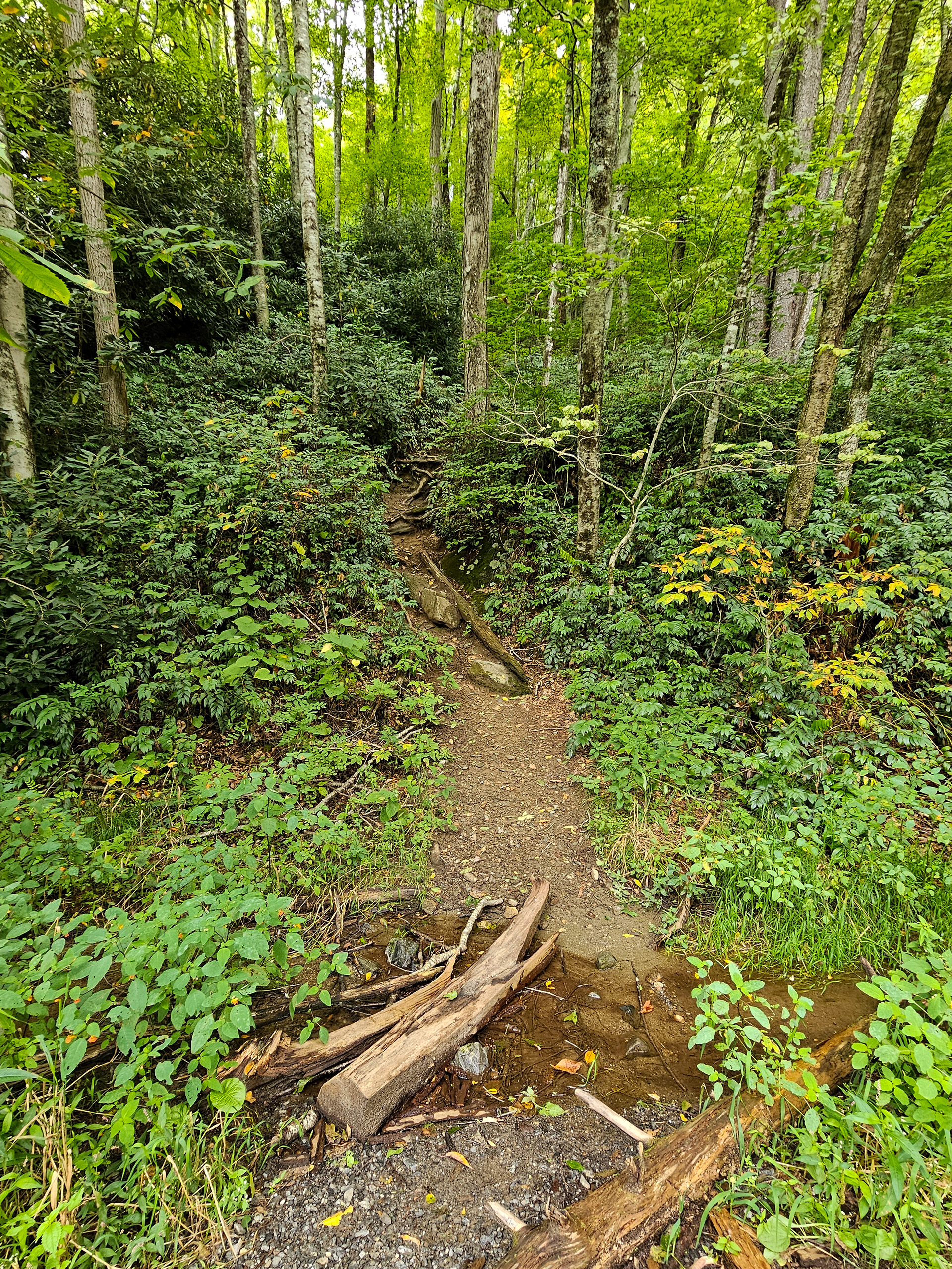
Sam Branch Falls is a 90-foot cascade hidden along Sam Branch in the Pisgah National Forest near Canton, North Carolina. The hike to this waterfall is extremely strenuous and hazardous and requires extensive navigating through the creek itself. Be prepared to hike, climb, slide, and wade through water as you venture out to this waterfall. The journey will also take you past Lower Sam Branch Falls and the optional Wash Hollow Falls, which adds an extra 0.2 miles. To begin, navigate to the trailhead at 35.3394° N, 82.9009° W along NC 215 on the south end of the outer guard rail. The trailhead is unmarked, but there is space to park on the side of the road. From here, you'll see a steep path ascending into the forest as shown below.
Trailhead for Lower Sam Branch Falls, Wash Hollow Falls, and Sam Branch Falls.
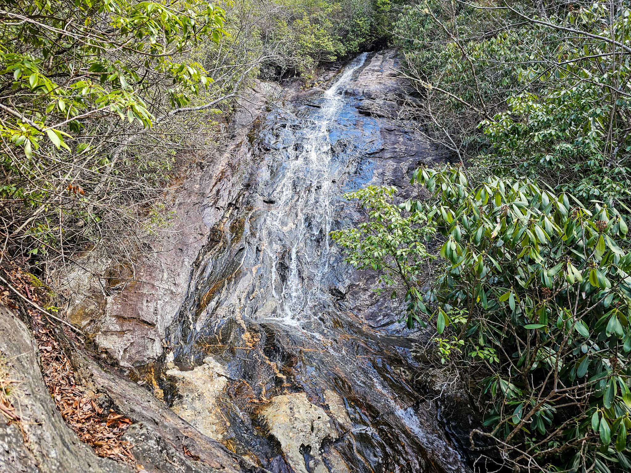
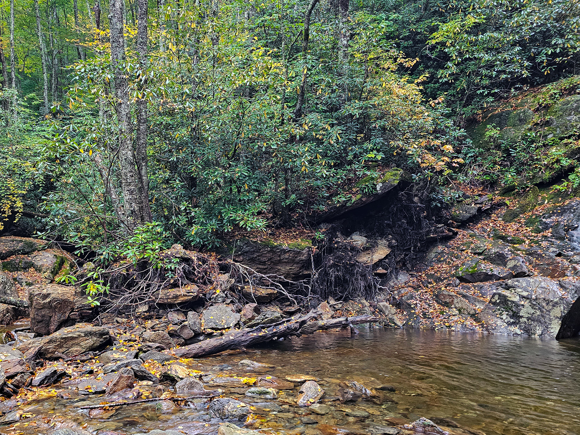
From the trailhead continue for just under 0.2 miles through the overgrown underbrush until you come to a fork near what looks like a dried up waterfall. You can see this in the image below. This feature is actually the result of a rockslide from Hurricane Helene in 2024 and other weather events. There will appear to be a trail that continues straight parallel to the rockslide, but you'll also find a trail on the left that leads down towards the creek bed. Take the left trail towards the creek you see on the left side of the image below.
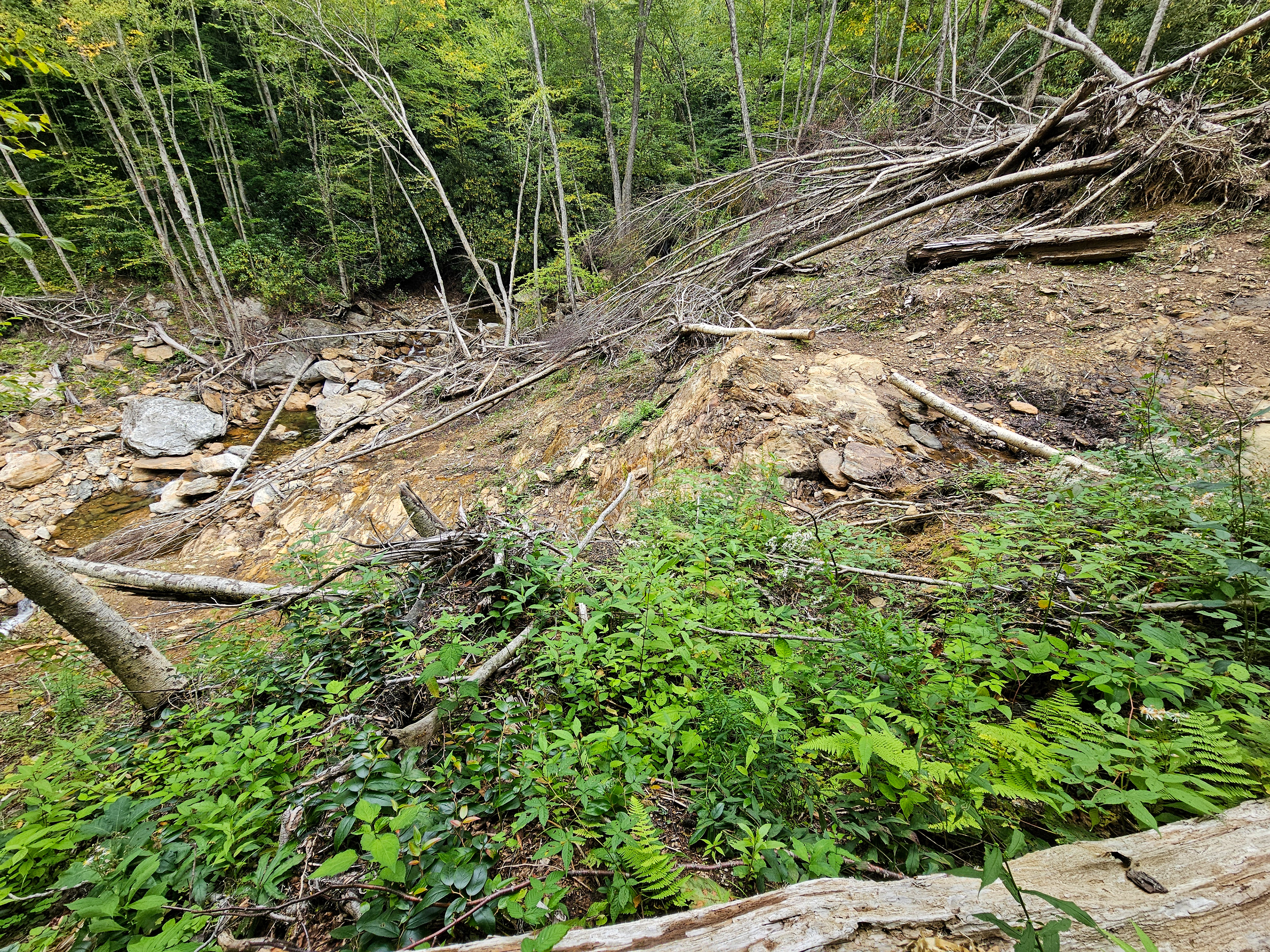
Rockslide wreckage from Hurricane Helene in 2024.
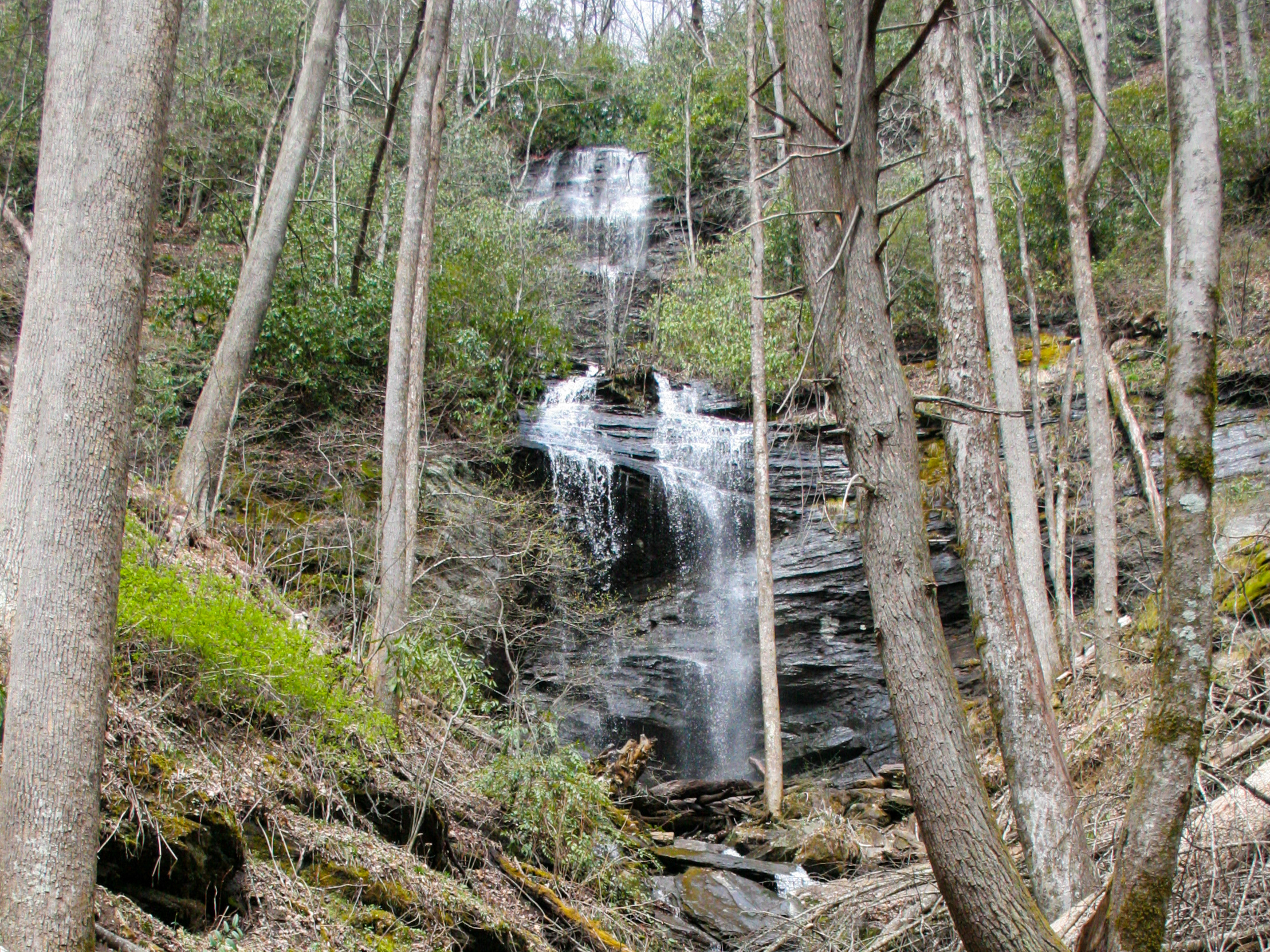
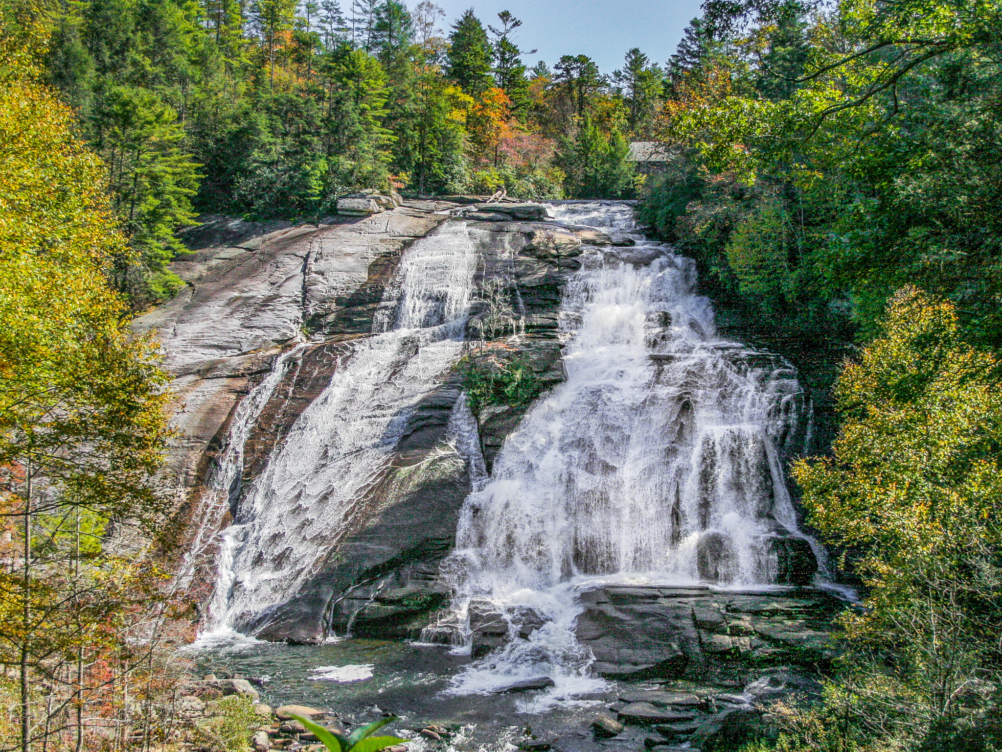
From the creek bed, the rockslide will be on your right, while the creek will be on your left. Follow the creek around the fallen trees and at 0.3 miles in you'll see Lower Sam Branch Falls come into view as shown below.
From this point, you'll find a couple of protruding rocks on the left bank of the creek. The trail to Sam Branch Falls begins after climbing the lower rock, ascending steeply upward to the right and running parallel to Sam Branch.
The rock, directly centered, marking the beginning of the trail.
When you reach the top of the hill, you'll come to a forked clearing where the trail levels out. If you would like to see Wash Hollow Falls, go left at this fork until the waterfall comes into view. Doing so will add about 0.2 miles to the hike. To continue to Sam Branch Falls, go right at the fork.
Forked clearing.
After turning right, you will come to the top of Lower Sam Branch Falls. Immediately to your left you'll find a larger rock to climb over or around and a trail ascending steeply upwards once again from there. This trail is very steep and somewhat overgrown due to little use. You may see footprints in muddy sections, indicating you're on the right path. This trail used to be used by rock climbers to reach another area around the creek. As you approach the 0.4-mile mark, you'll notice a large boulder with a metal rope hanging around it as shown below. You're going the correct way.
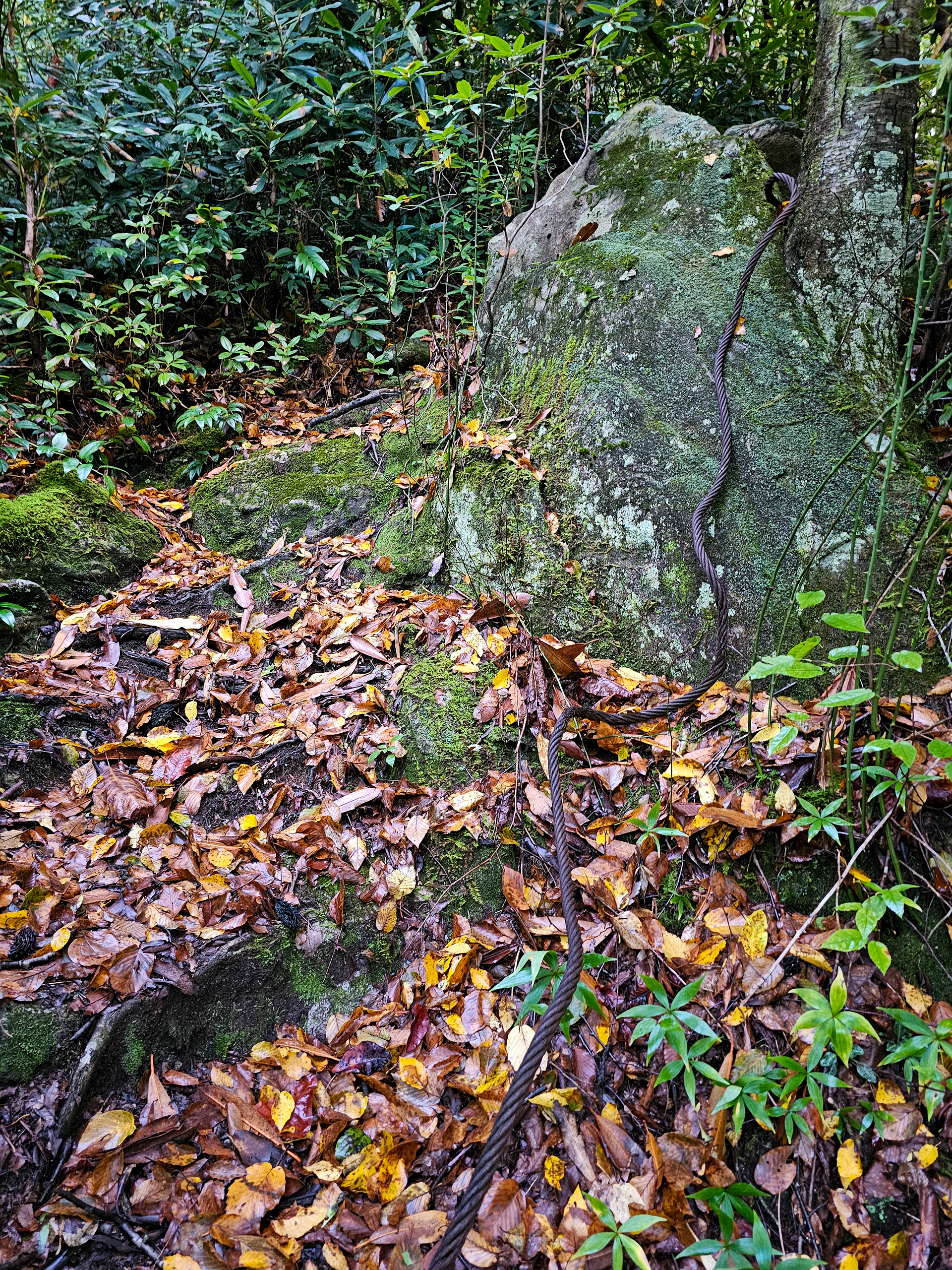
Rock climbing rope around a boulder.
After just over 0.4 miles in, you'll see the tree pictured below at 35.3402° N, 82.8966° W. If you continue up the path, you'll start drifting away from the creek. Instead, take a right just before the tree and scramble down to the creek itself.
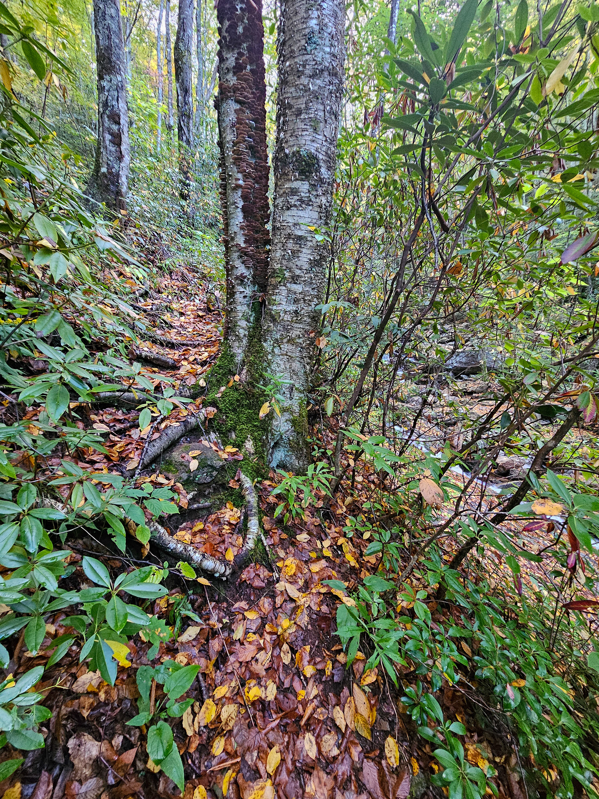
The double tree signaling to enter the creek.
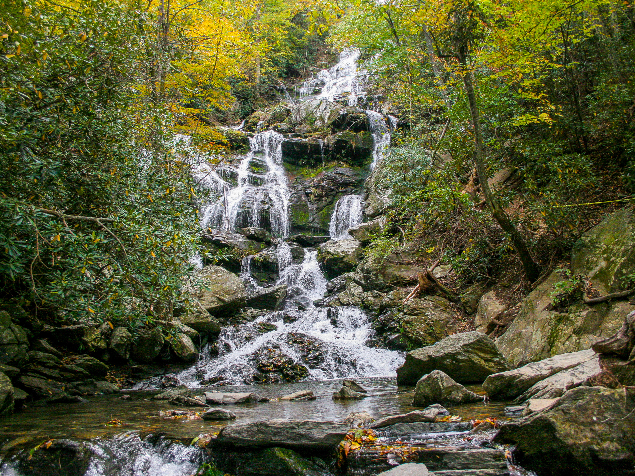
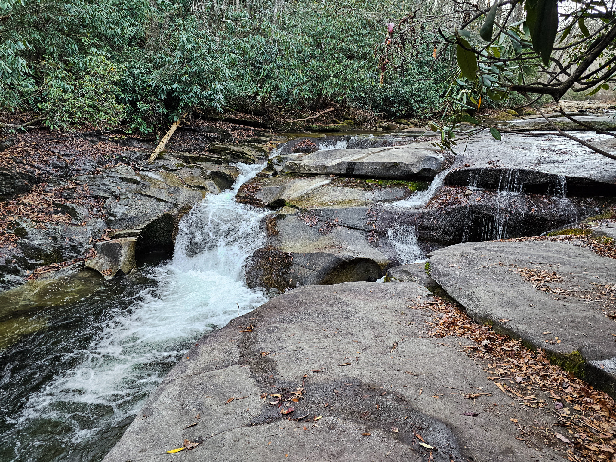
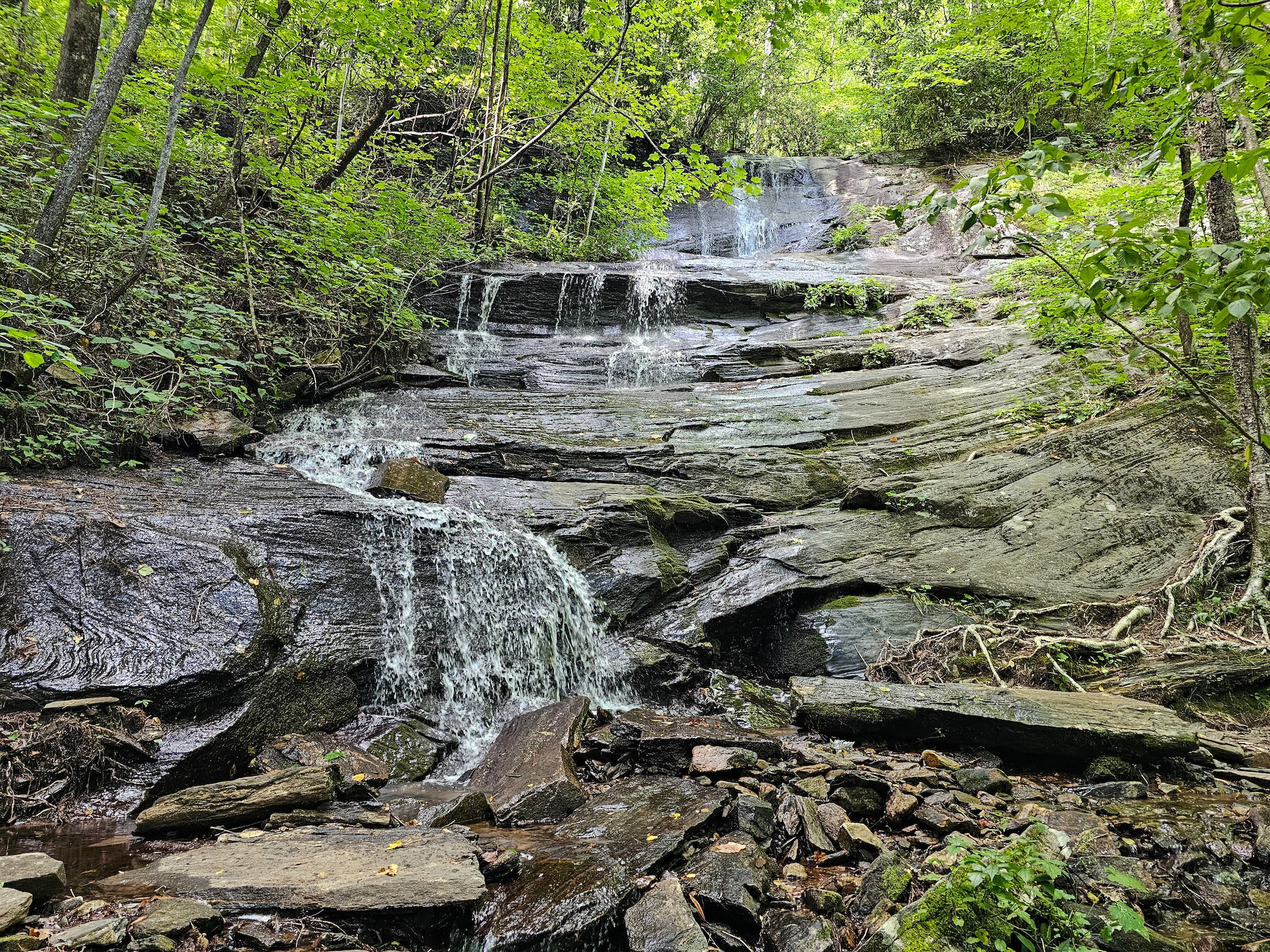
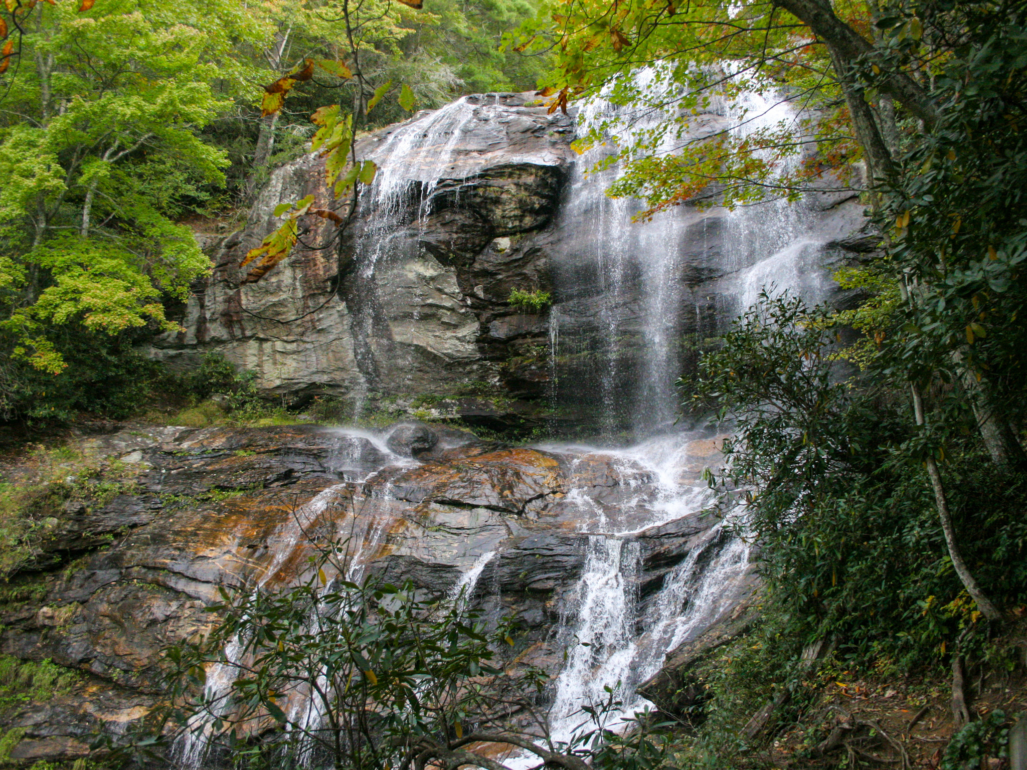
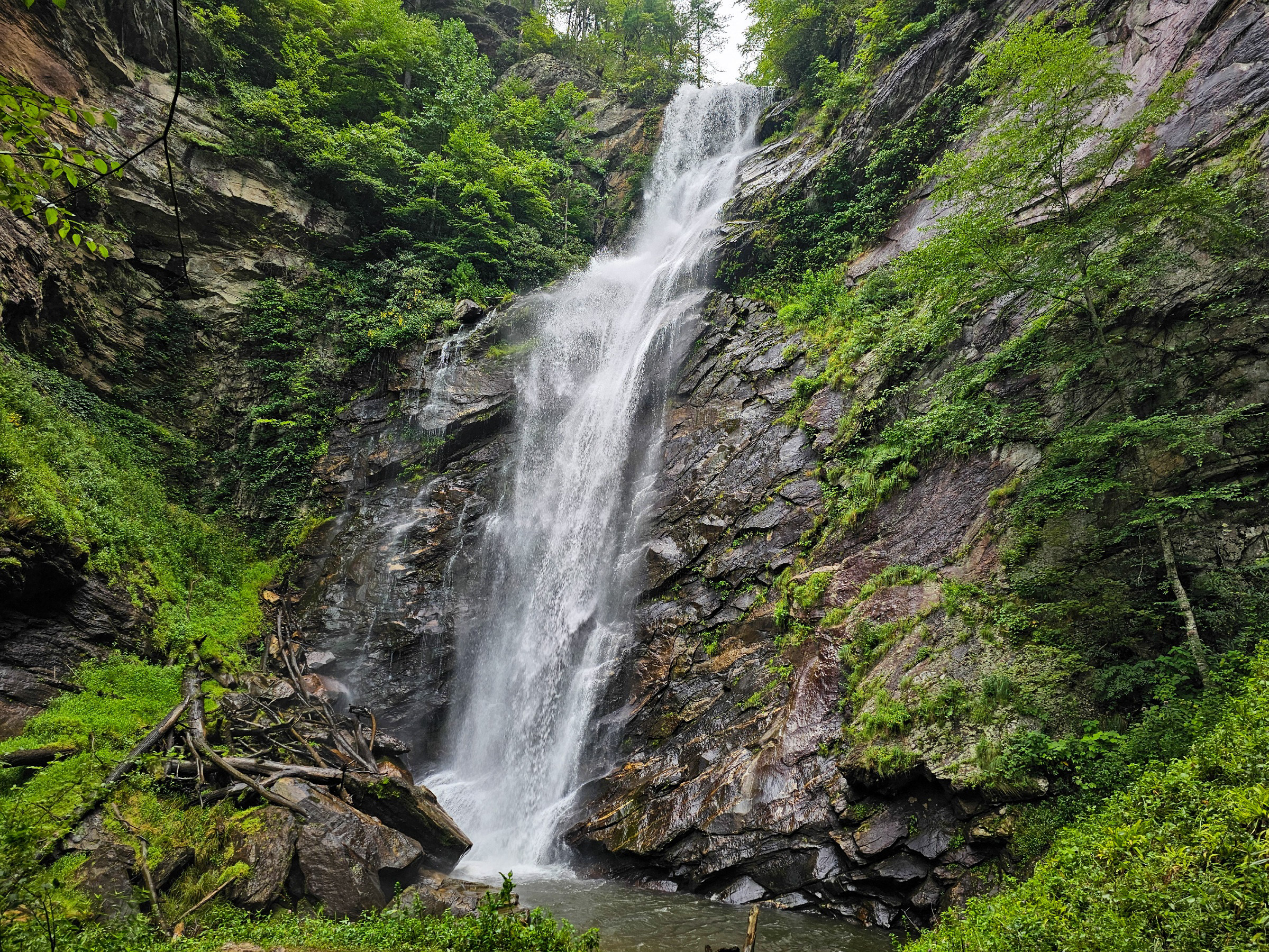
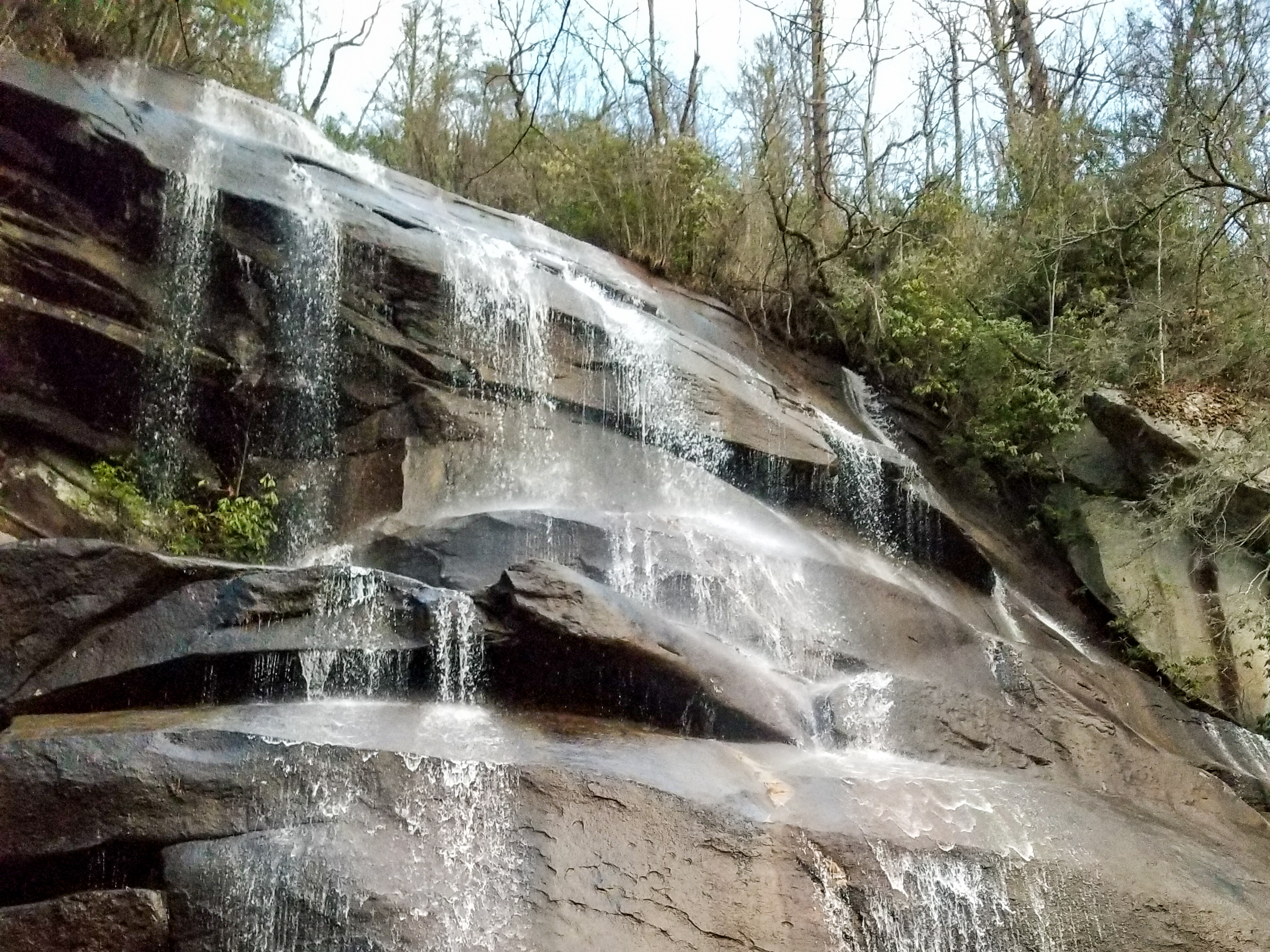
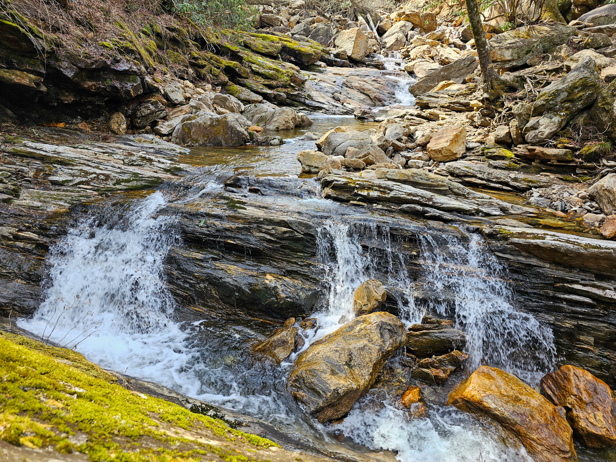
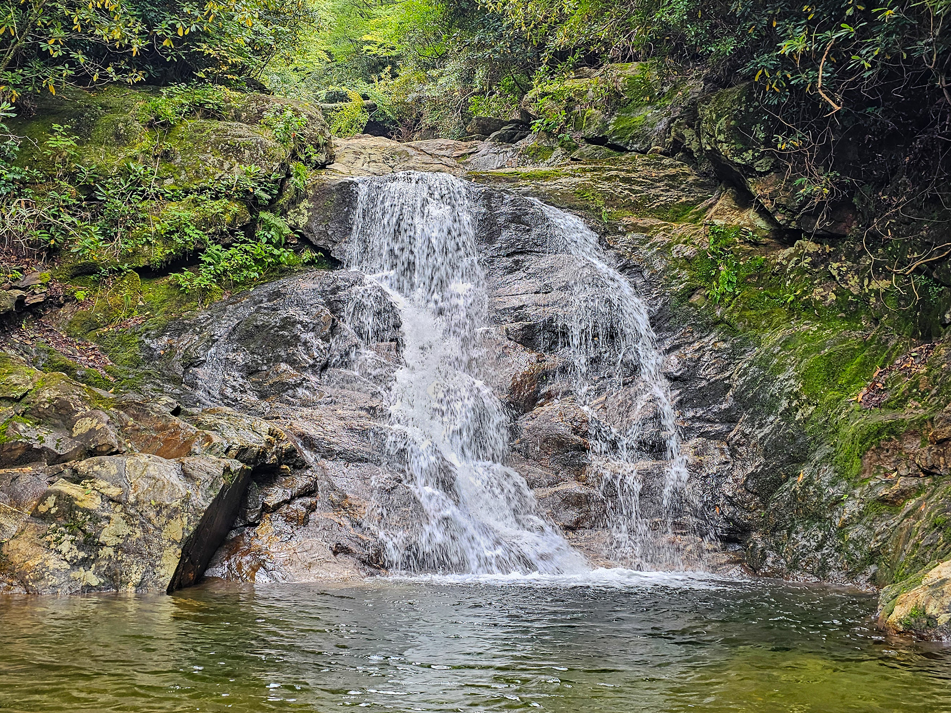
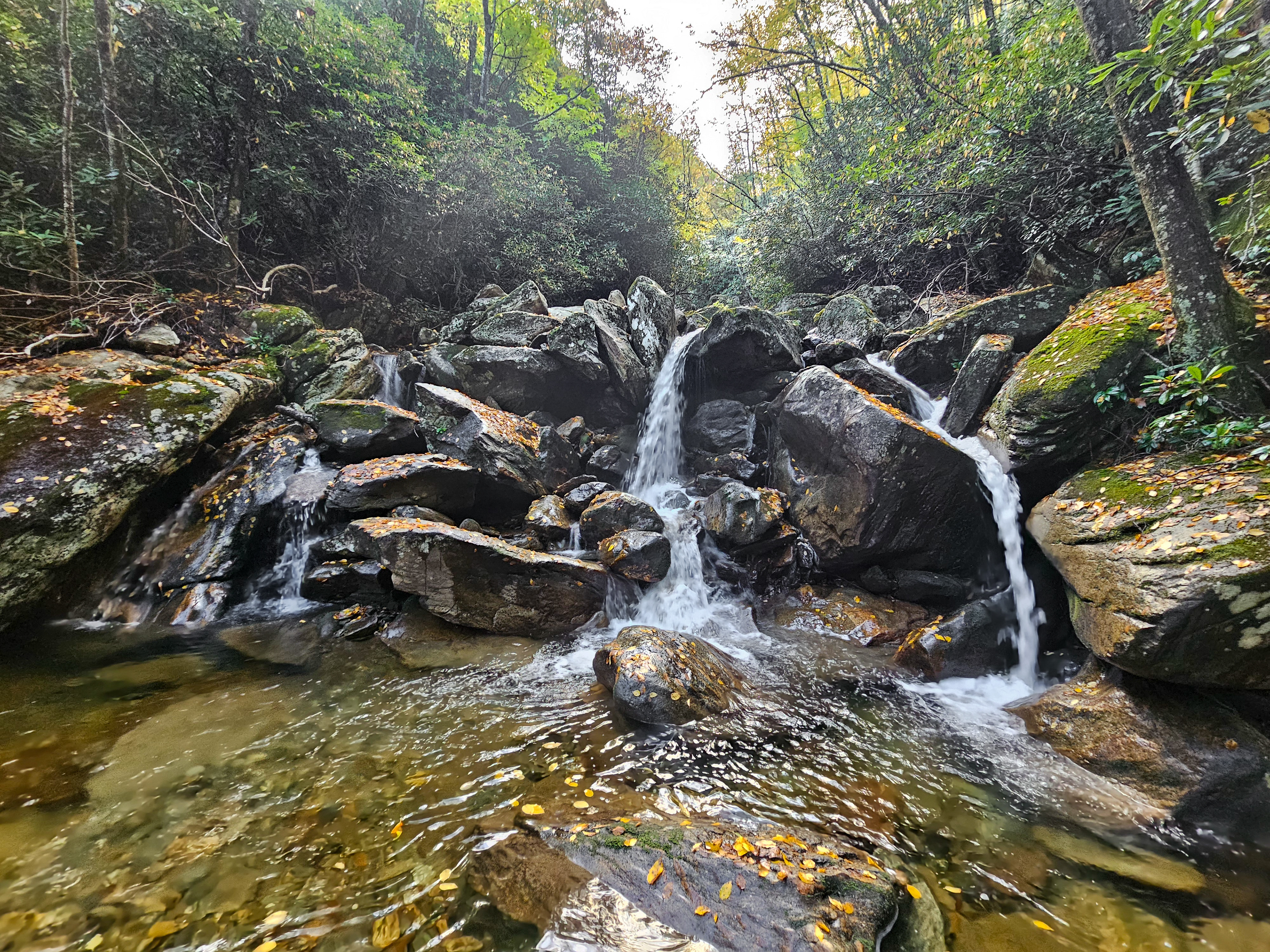
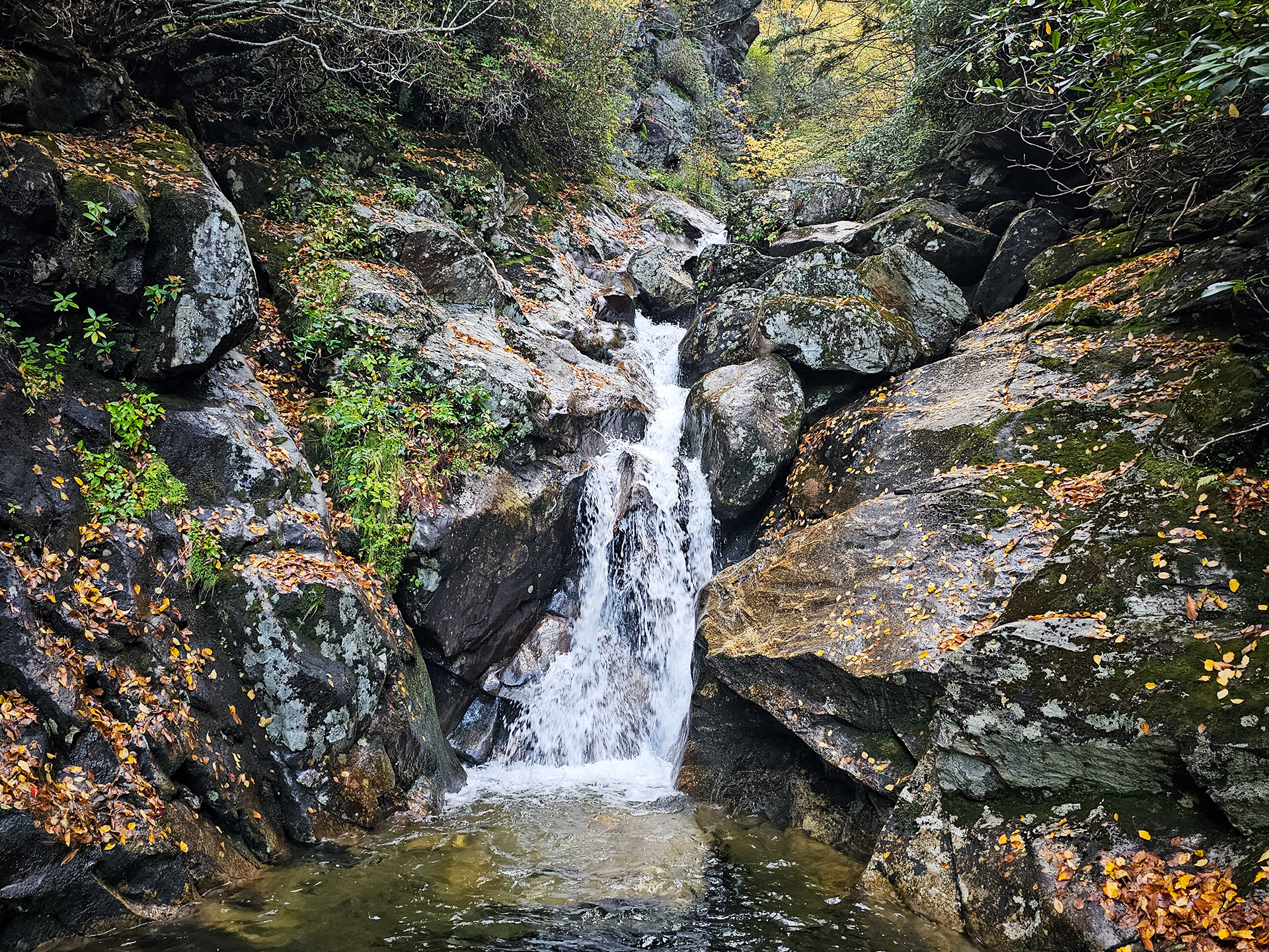
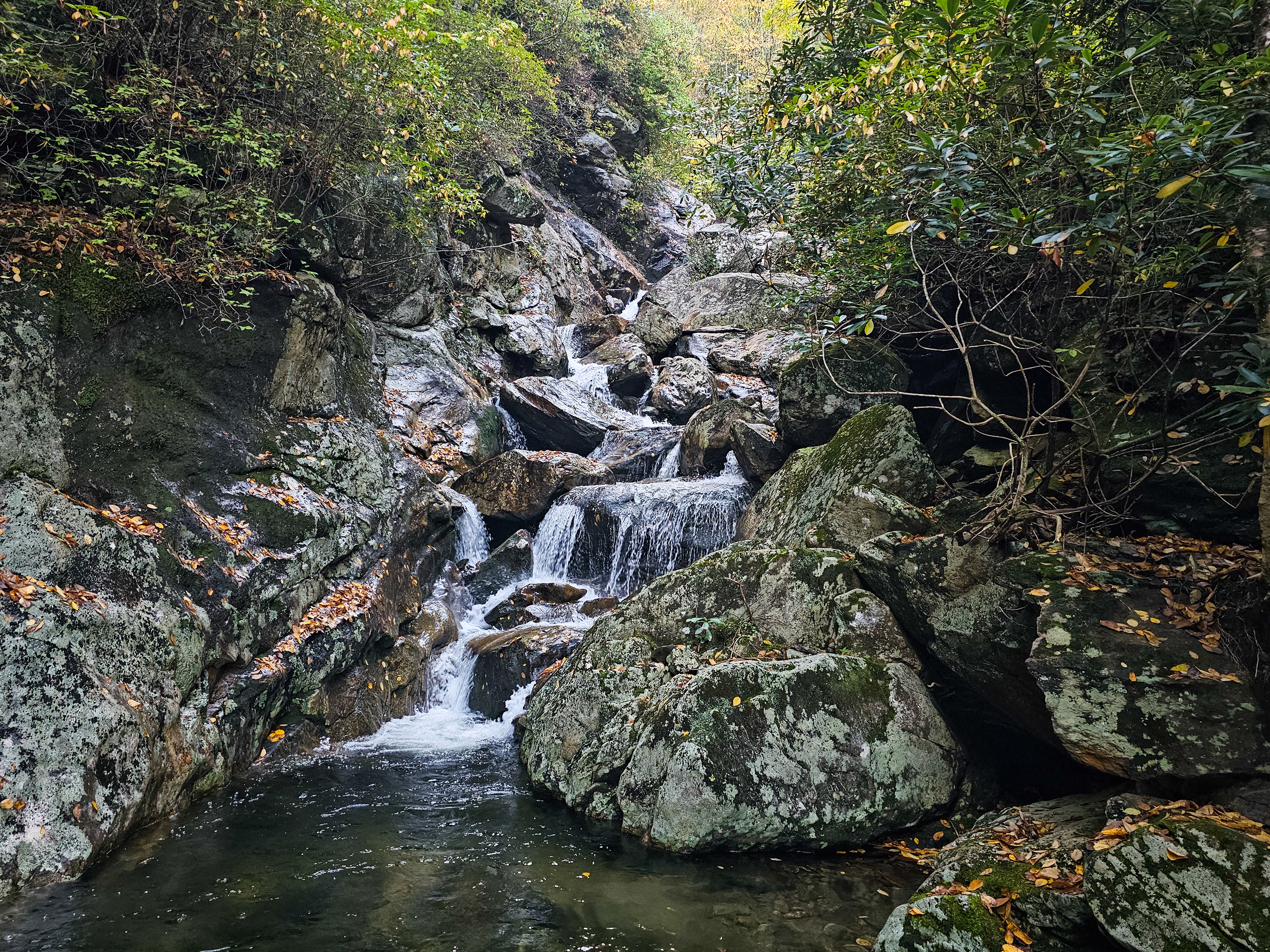
The rest of the hike will take place in the creek. The first image below will be what you should see once you enter the creek. Along the way you'll encounter some other cool water features pictured below that you might think are Sam Branch Falls. They are not, but they're still pretty great. Getting around them is the real challenge, and you will need to find your way based on your own climbing abilities. After just under 0.5 miles, you'll reach the 90-foot Sam Branch Falls, pictured last.
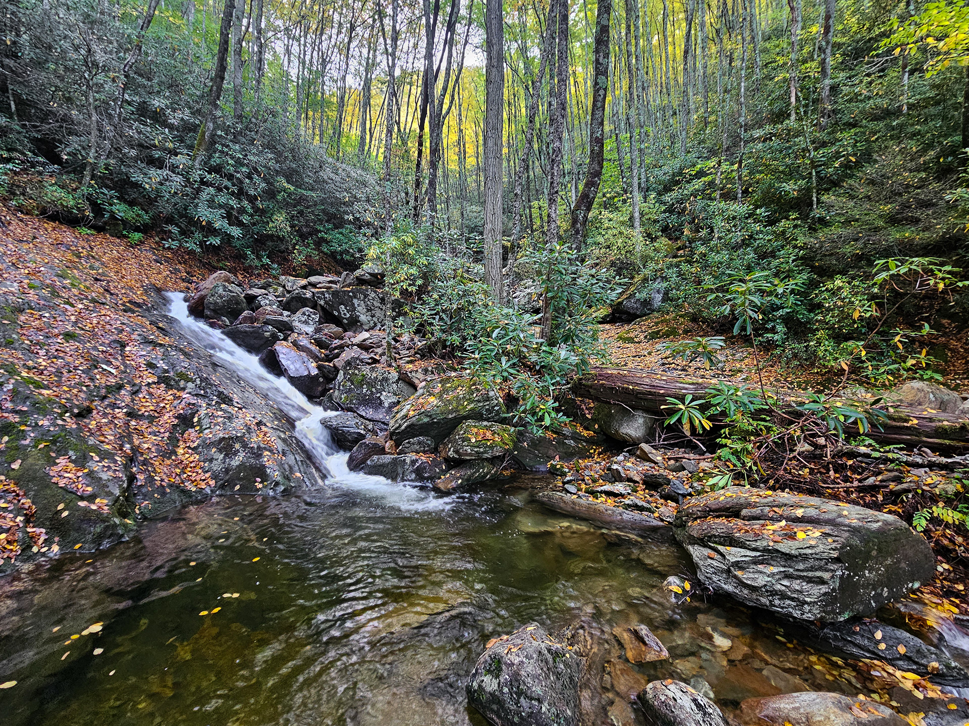
View after entering the creek.
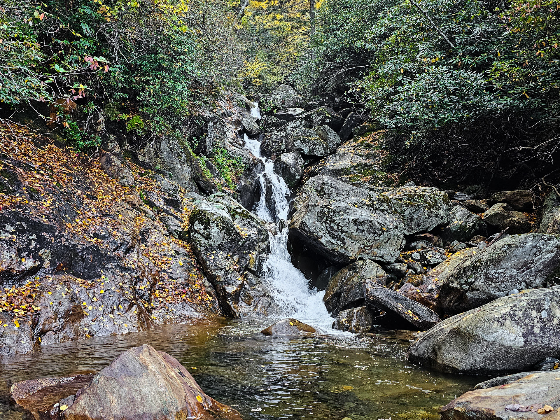
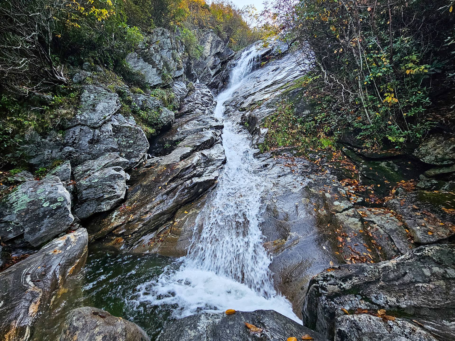
Sam Branch Falls.
Parking Location: 35.3396° N, 82.9012° W
GPS Location: 35.3443° N, 82.8918° W
Parking: Roadside Pull-off
Total Hike: 1.7 miles
Wheelchair Accessible: No
Admission: Free
Open: 24/7
Swimming: Not recommended
Pets: Yes, with leash
GPS Location: 35.3443° N, 82.8918° W
Parking: Roadside Pull-off
Total Hike: 1.7 miles
Wheelchair Accessible: No
Admission: Free
Open: 24/7
Swimming: Not recommended
Pets: Yes, with leash