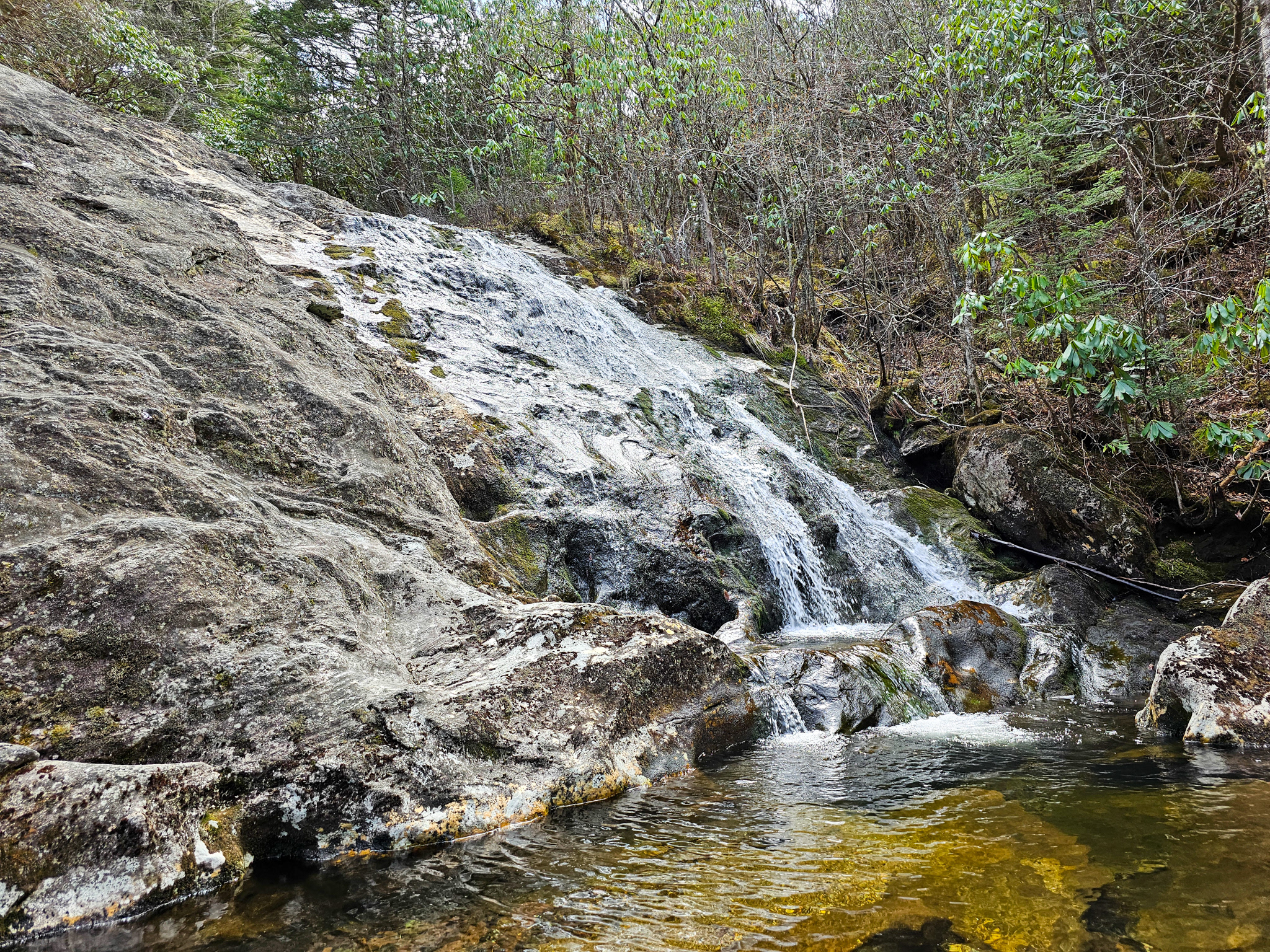
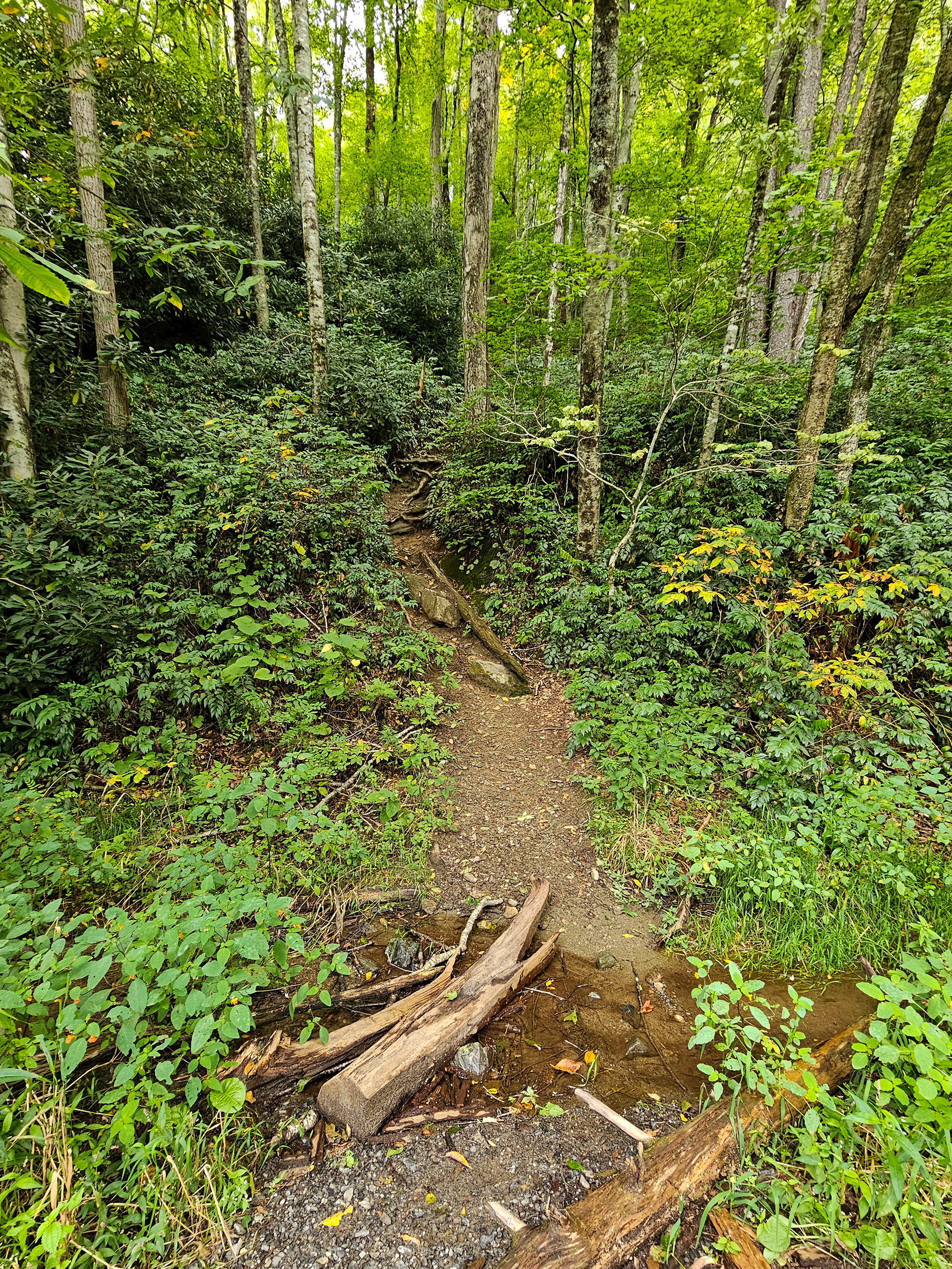
Wash Hollow Falls is a 50-foot hidden gem of a cascade located off of NC-215 in the Pisgah National Forest. While there is no official Google Maps location, the trailhead can be found at 35.3394° N, 82.9009° W on the south end of the outer guard rail, with the parking area on the north side. The hike to Wash Hollow Falls will also take you past Lower Sam Branch Falls and can be extended another mile to include Sam Branch Falls. From the trailhead, you'll see a steep path ascending into the forest as shown below.
Trailhead for Lower Sam Branch Falls, Wash Hollow Falls, and Sam Branch Falls.
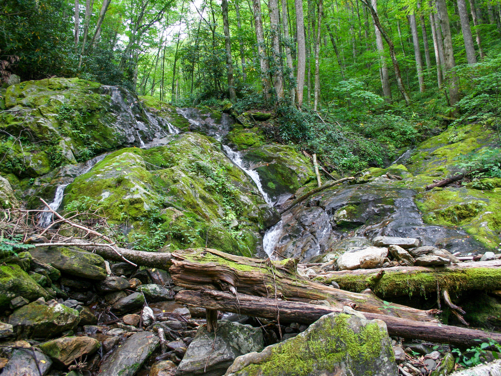
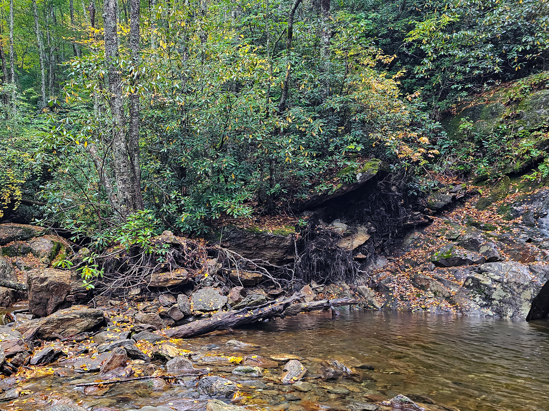
Continue up from the trailhead for about 0.2 miles through the overgrown underbrush until you come to a fork near what looks like a dried up waterfall. You can see this in the image below. This feature is actually the result of a rockslide from Hurricane Helene in 2024. There will appear to be a trail that continues straight parallel to the rockslide, but you'll also find a trail on the left that leads down towards the creek bed. Take the left trail towards the creek you see on the left side of the image below.
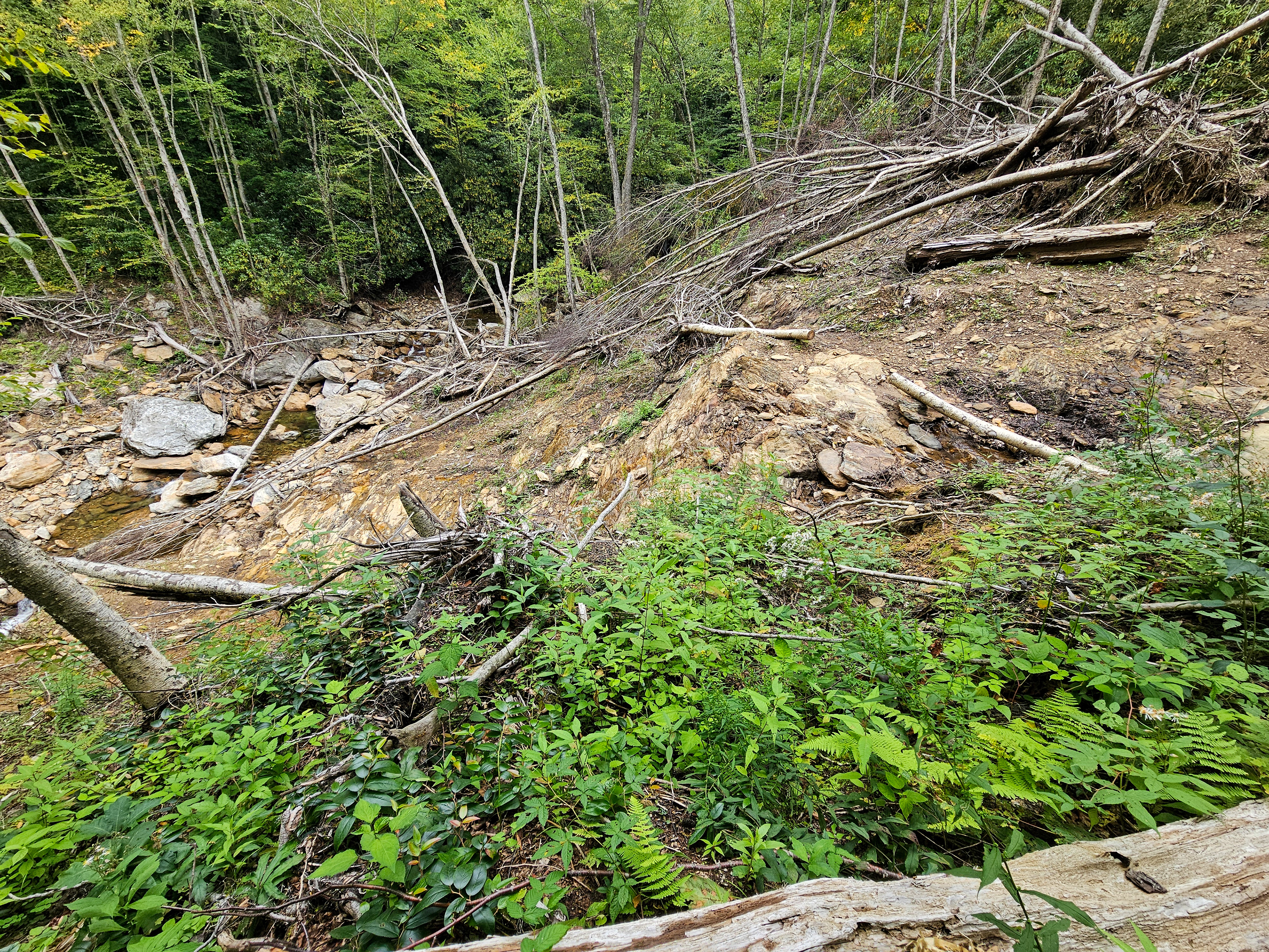
Rockslide wreckage from Hurricane Helene in 2024.
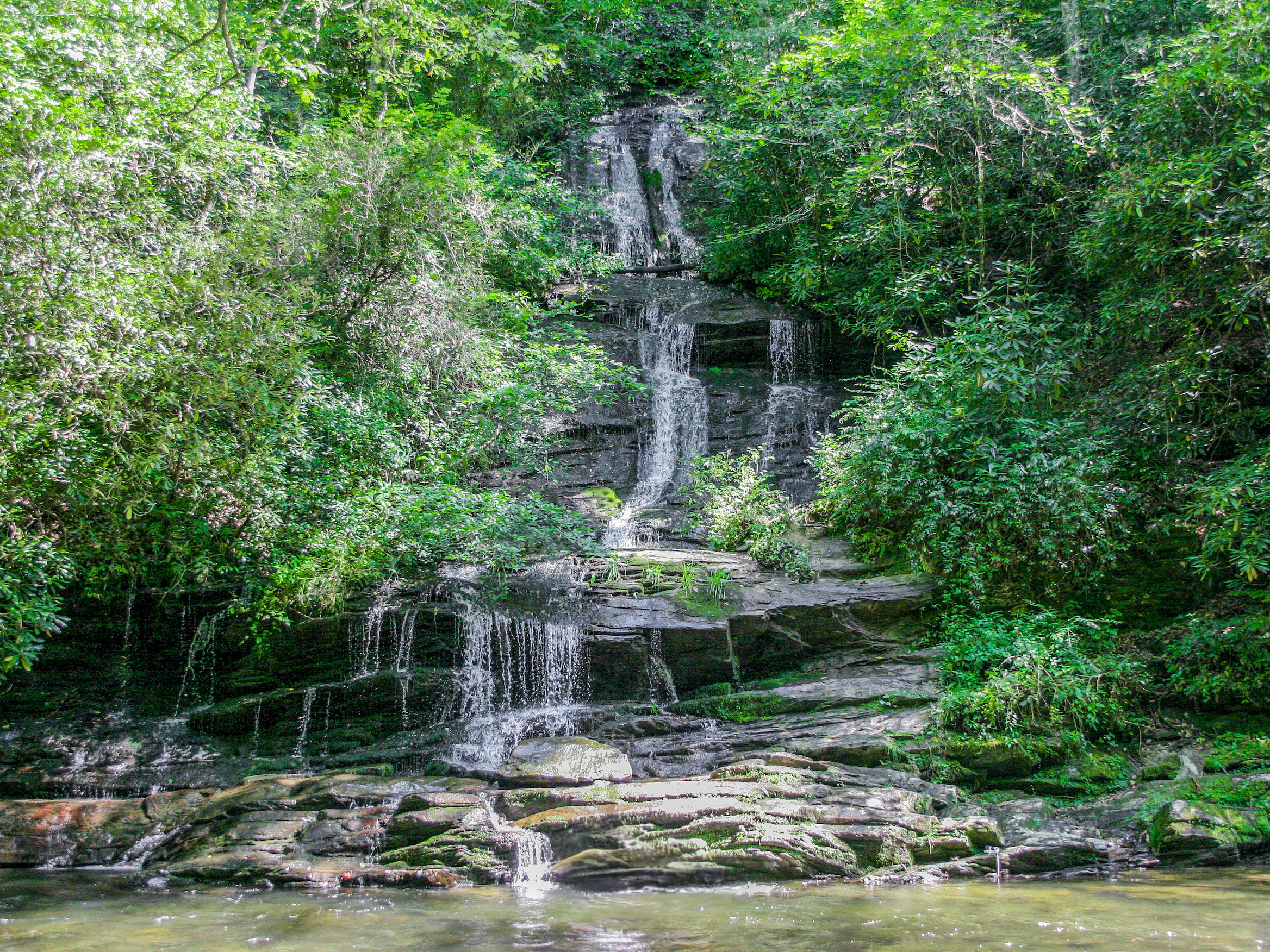
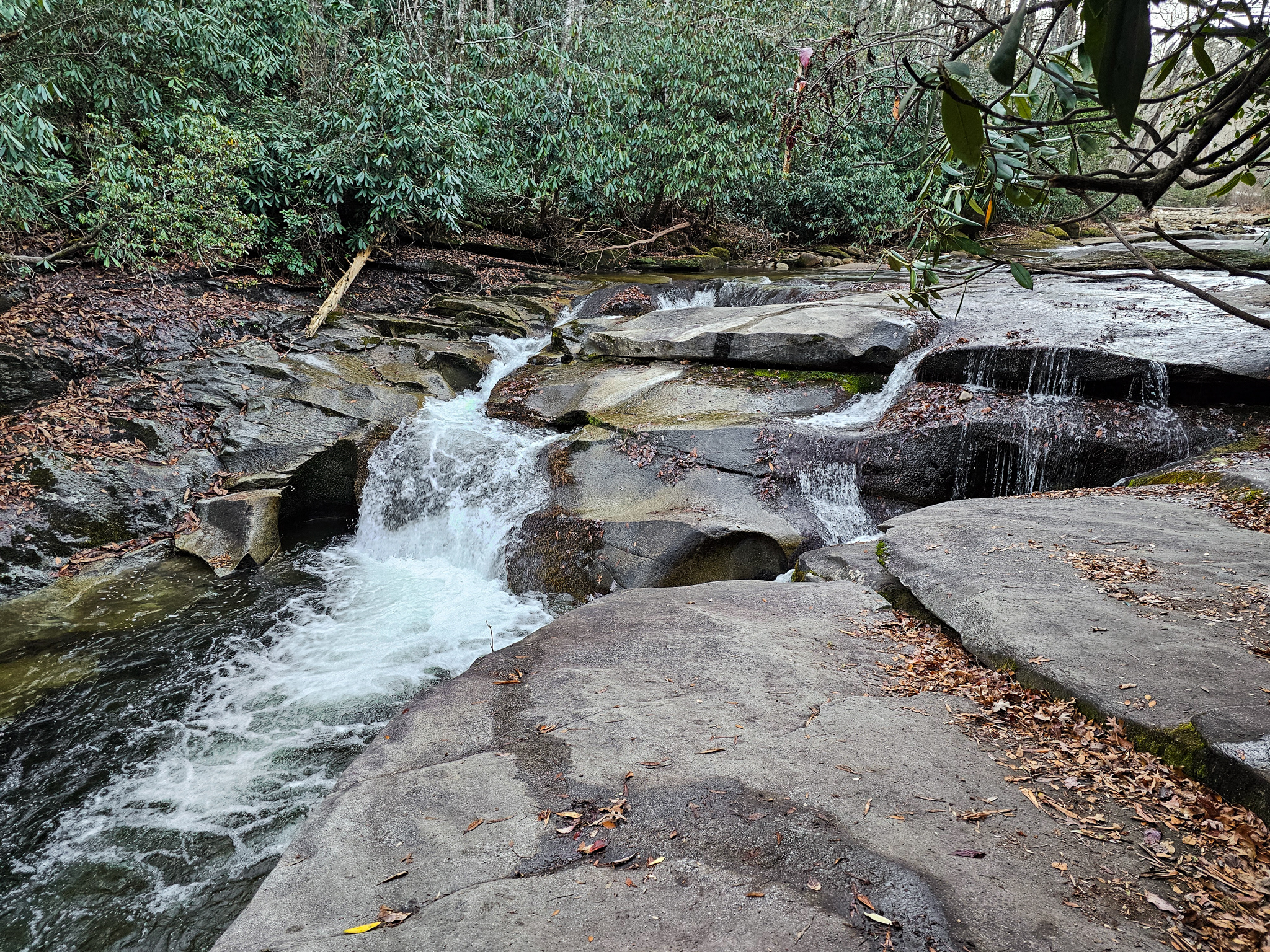
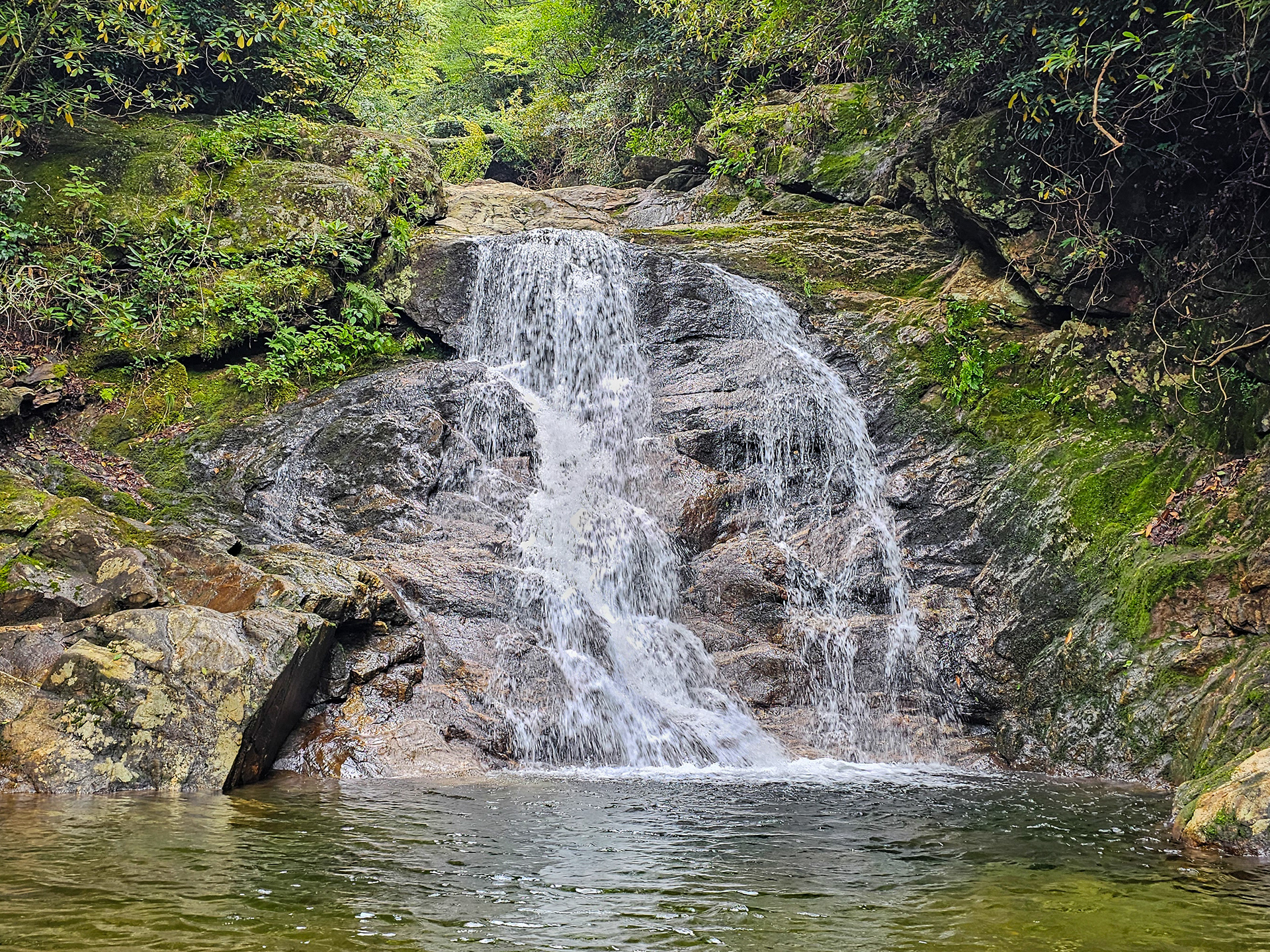
From the creek bed, the rockslide will be on your right, while the creek will be on your left. Follow the creek on the left until Lower Sam Branch Falls comes into view at about 0.3 miles in.
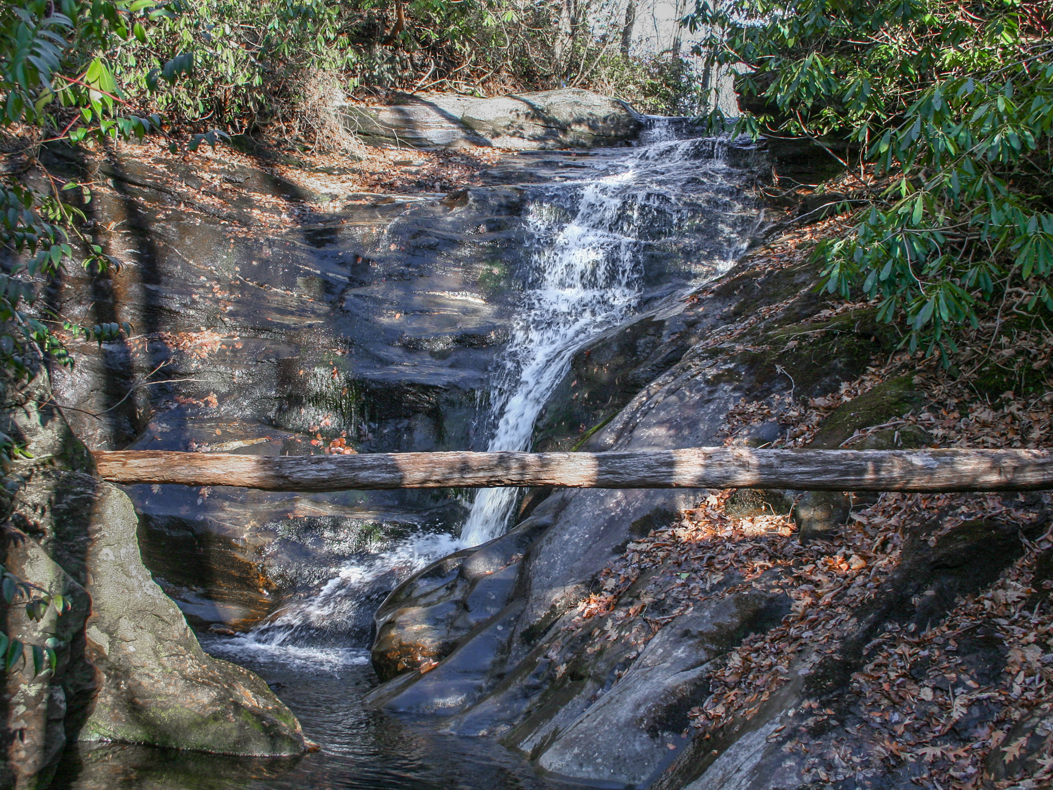
From this point, you'll find a couple of protruding rocks on the left bank of the creek. The trail to Sam Branch Falls begins after climbing the lower rock, ascending steeply upward to the right and running parallel to Sam Branch.
The rock, directly centered, marking the beginning of the trail.
At the end of the ascent, the trail will level out at a forked clearing, as shown below.
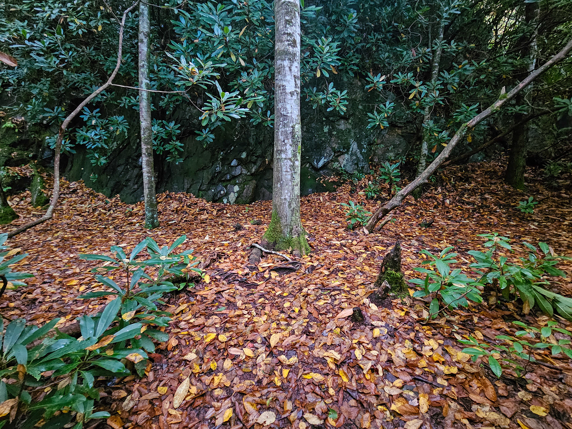
Forked clearing.
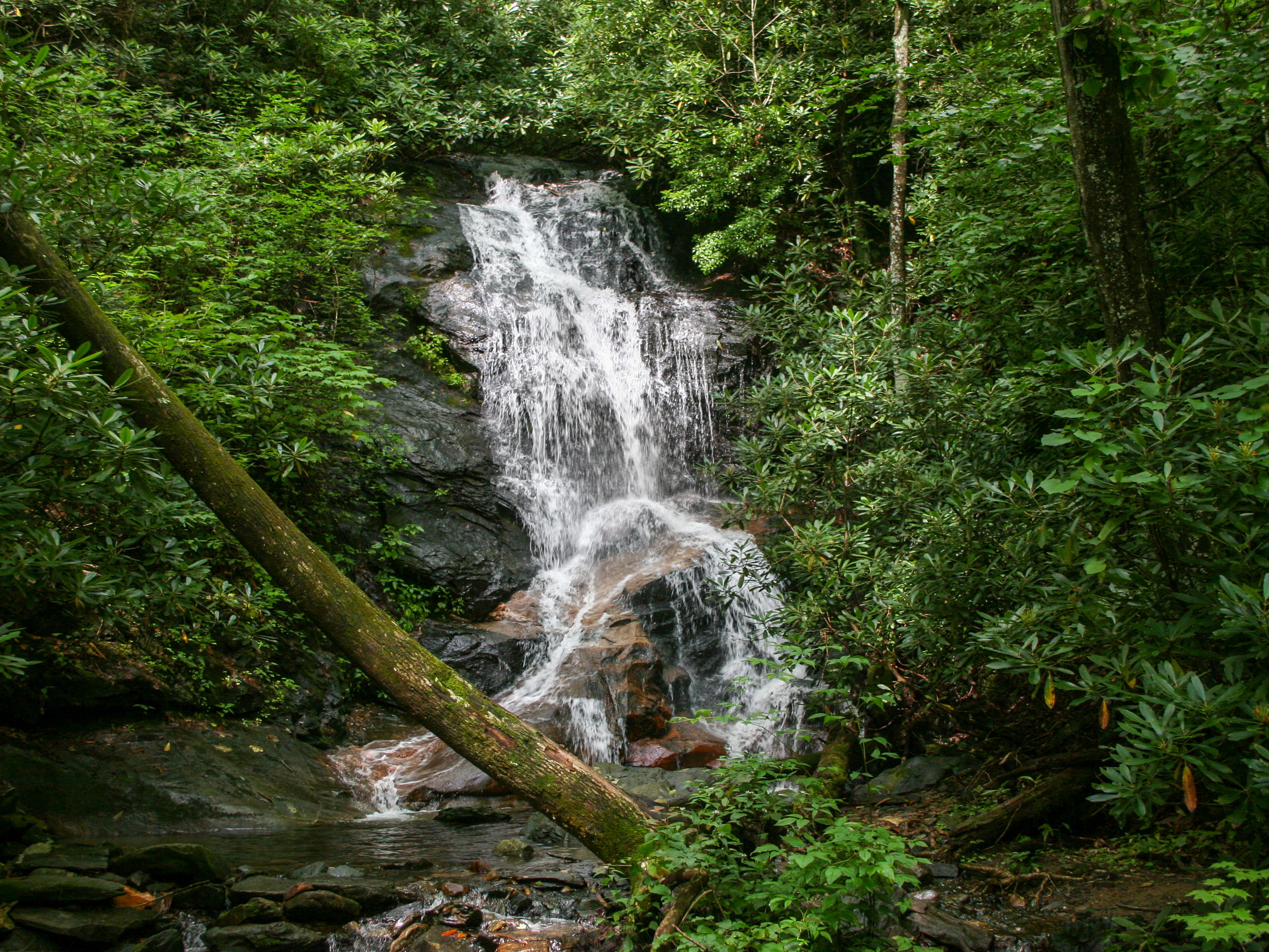
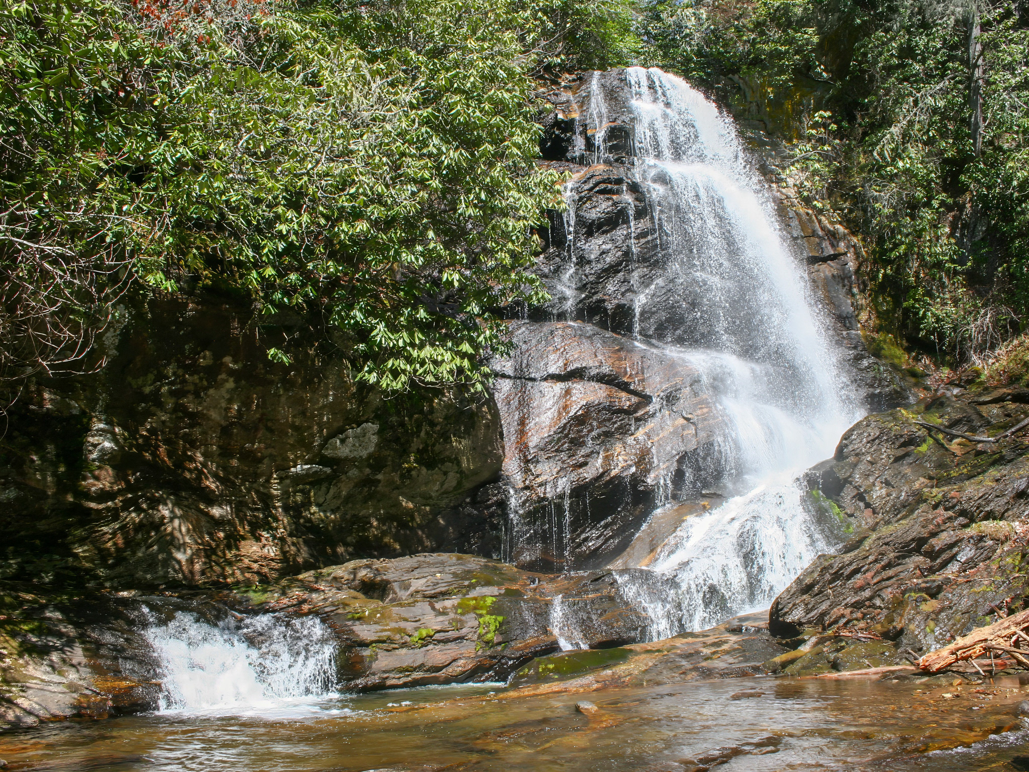
Turn left and follow the path until Wash Hollow Falls comes into view. You'll pass a primitive rock fire pit and a flat area where a tent can be pitched. The image below shows this and the trail you'll come from in the background. The waterfall is visible from here, but if you continue, you can get closer and scramble to the base for a better view along with some cool water features downstream. Overall this trail is moderate with a couple of strenuous sections. I would definitely recommend bringing a trekking pole or hiking stick for support.
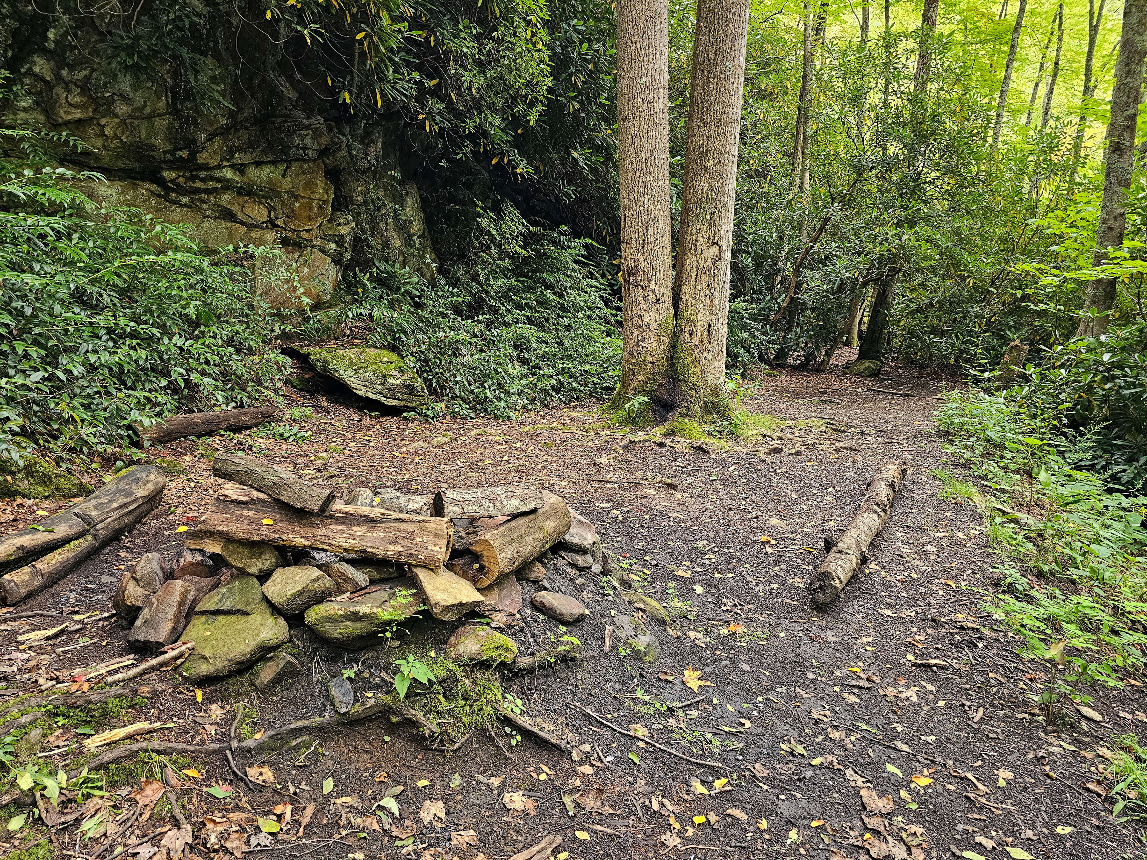
Primitive fire pit and camping spot near Wash Hollow Falls.
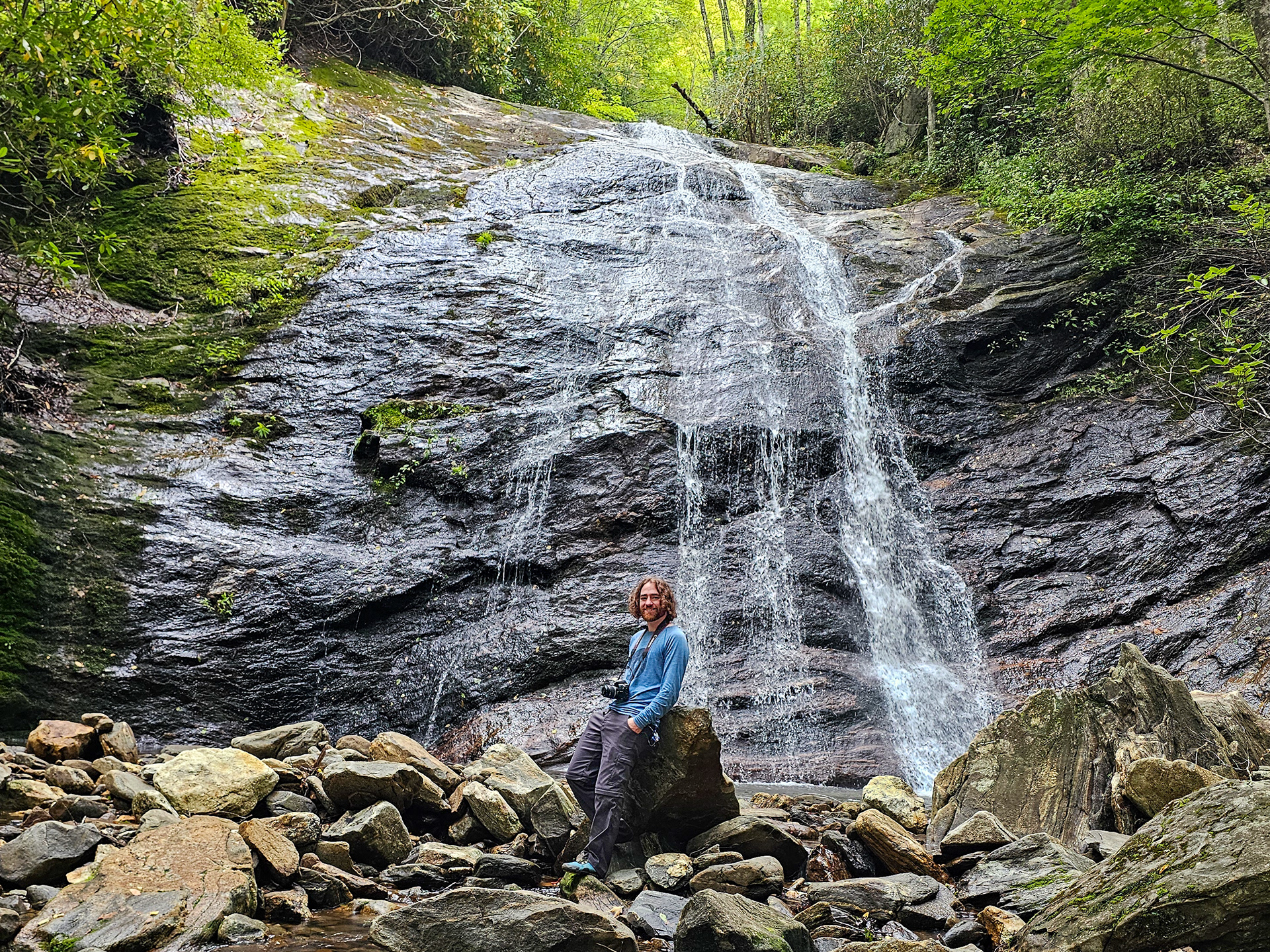
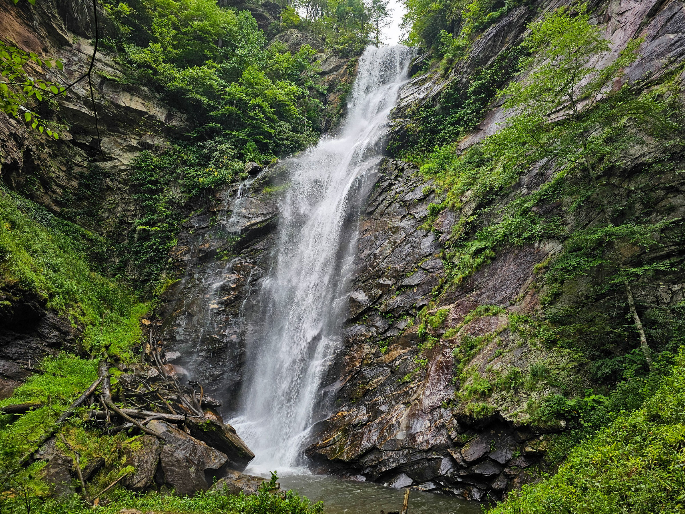
Wash Hollow Falls.
This hike can be extended by 1 mile to include Sam Branch Falls.
Parking Location: 35.3396° N, 82.9012° W
GPS Location: 35.3417° N, 82.8977° W
Parking: Roadside Pull-off
Total Hike: 1 mile
Wheelchair Accessible: No
Admission: Free
Open: 24/7
Swimming: N/A
Pets: Yes, with leash
GPS Location: 35.3417° N, 82.8977° W
Parking: Roadside Pull-off
Total Hike: 1 mile
Wheelchair Accessible: No
Admission: Free
Open: 24/7
Swimming: N/A
Pets: Yes, with leash