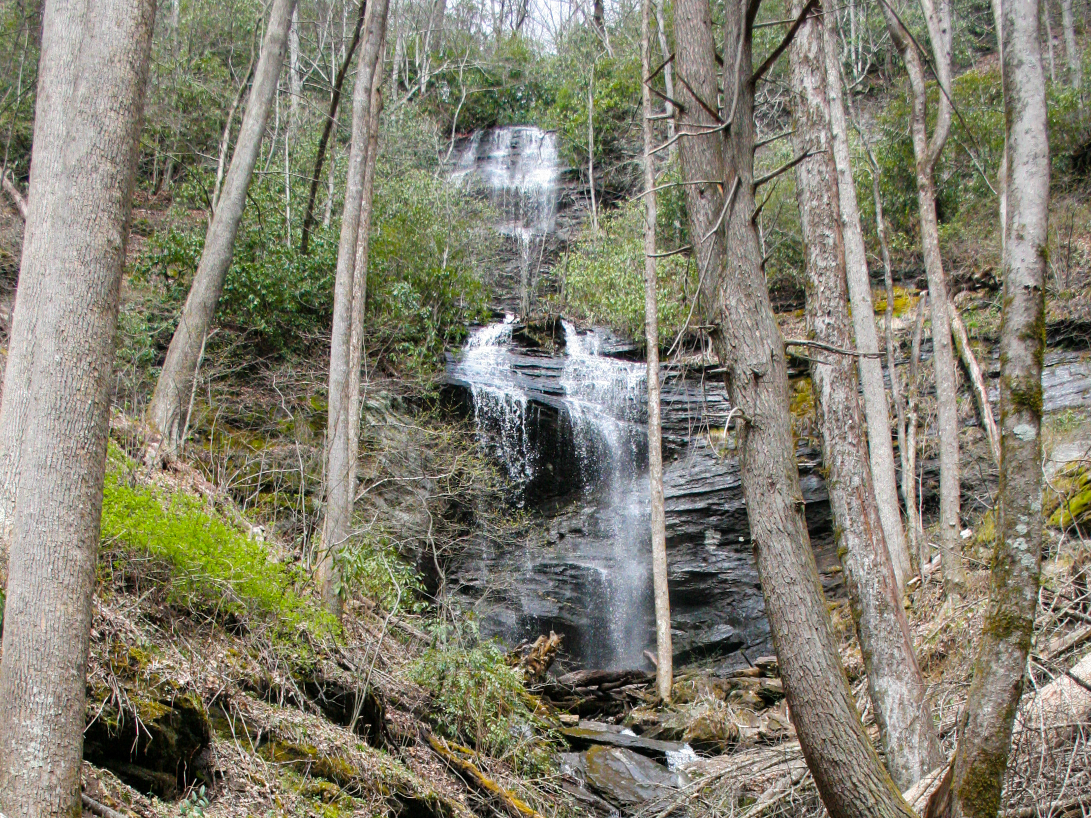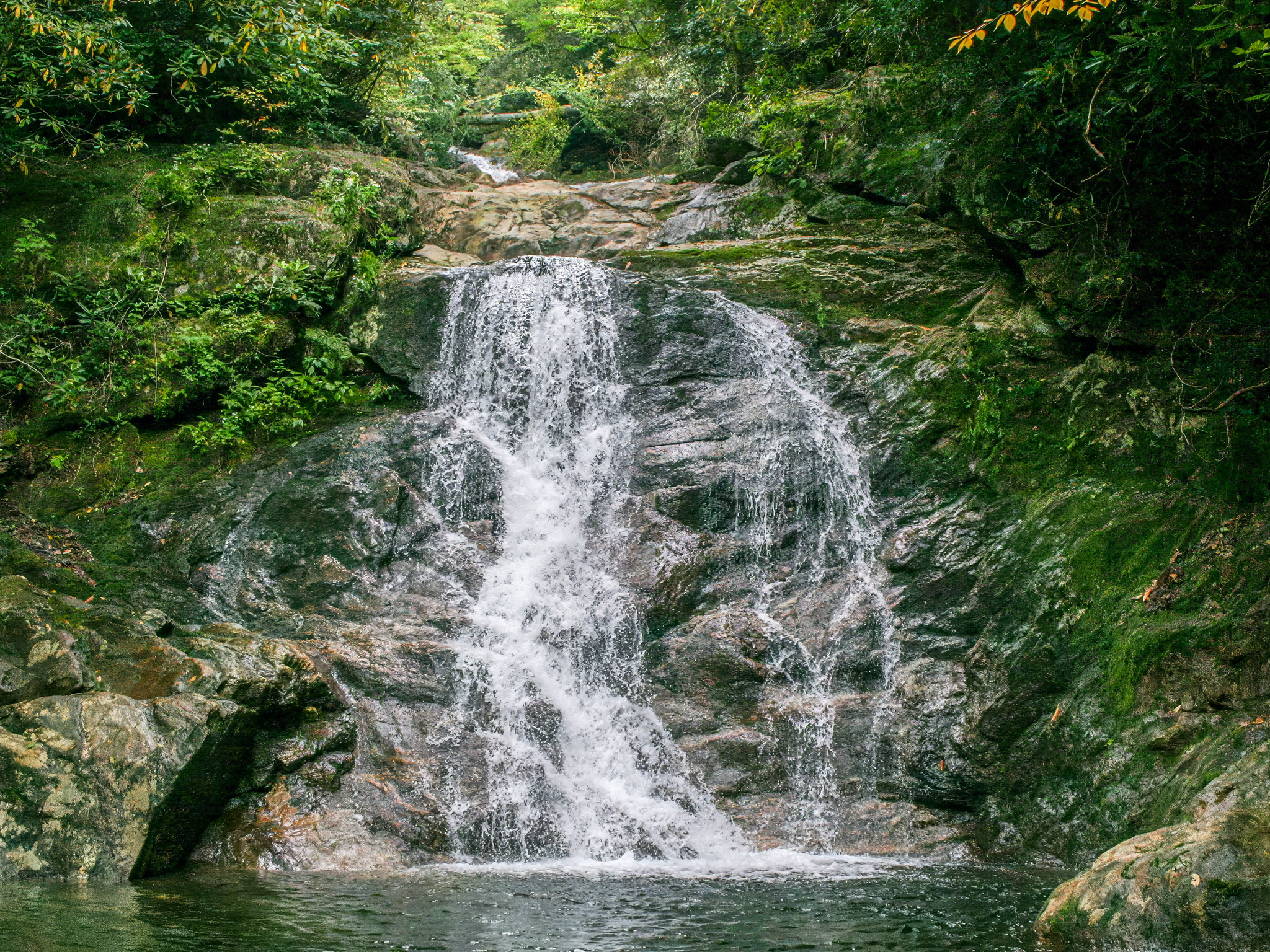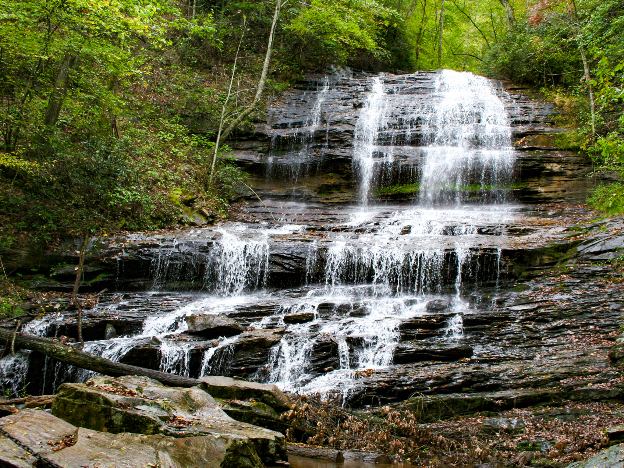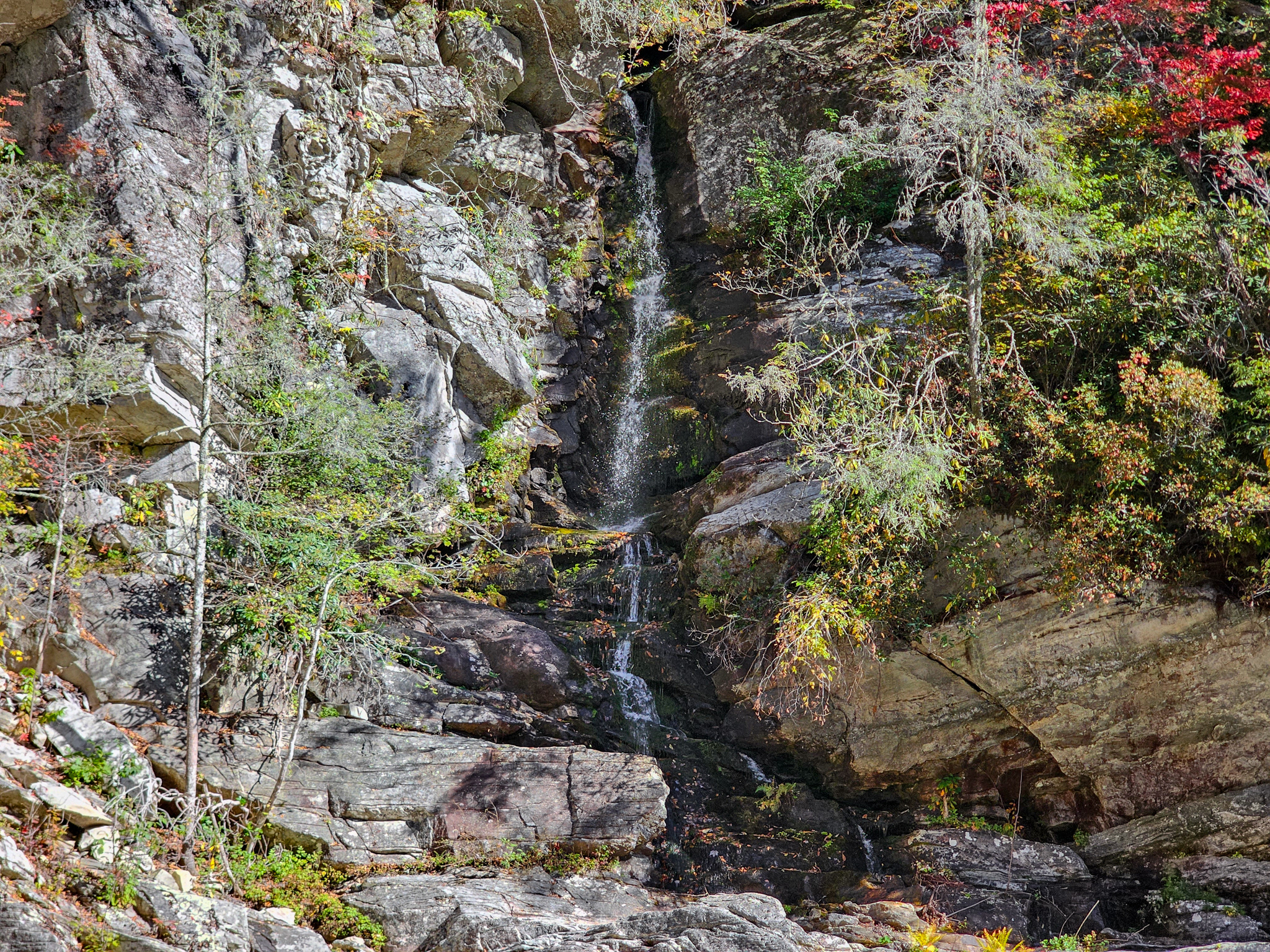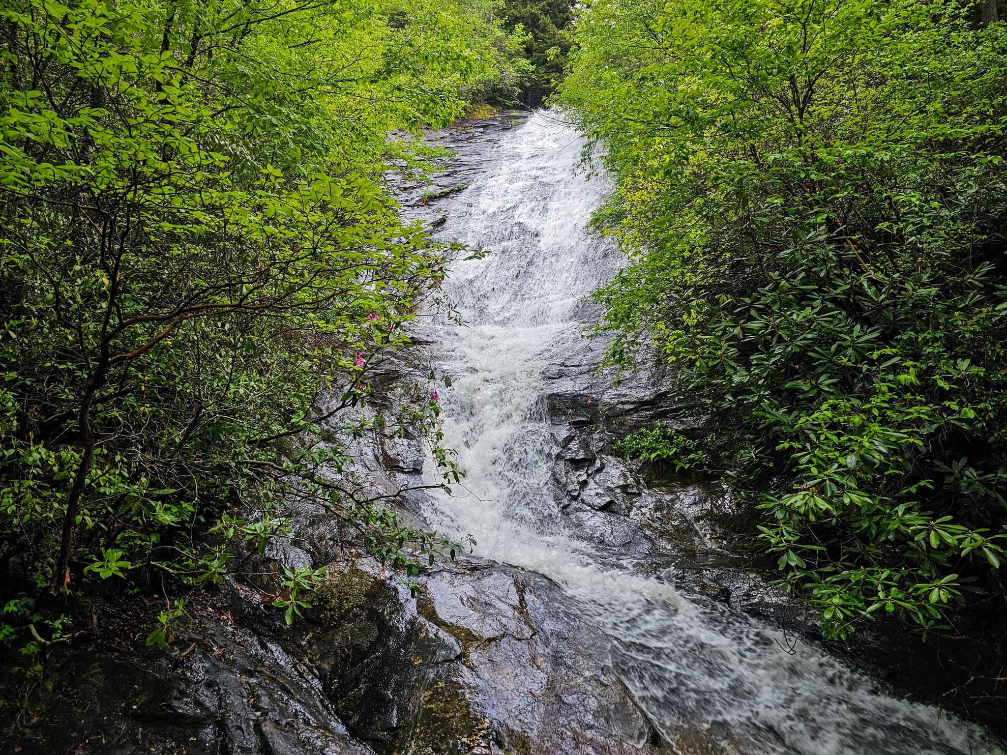
Chestnut Falls is a quaint, 20-foot waterfall located in the Pisgah National Forest near Balsam Grove, North Carolina. Previously this was a 2-mile hike, but due to road damage from Hurricane Helene in 2024, hikers must now begin the trek from NC-215. The new route is roughly 7.6 miles total.
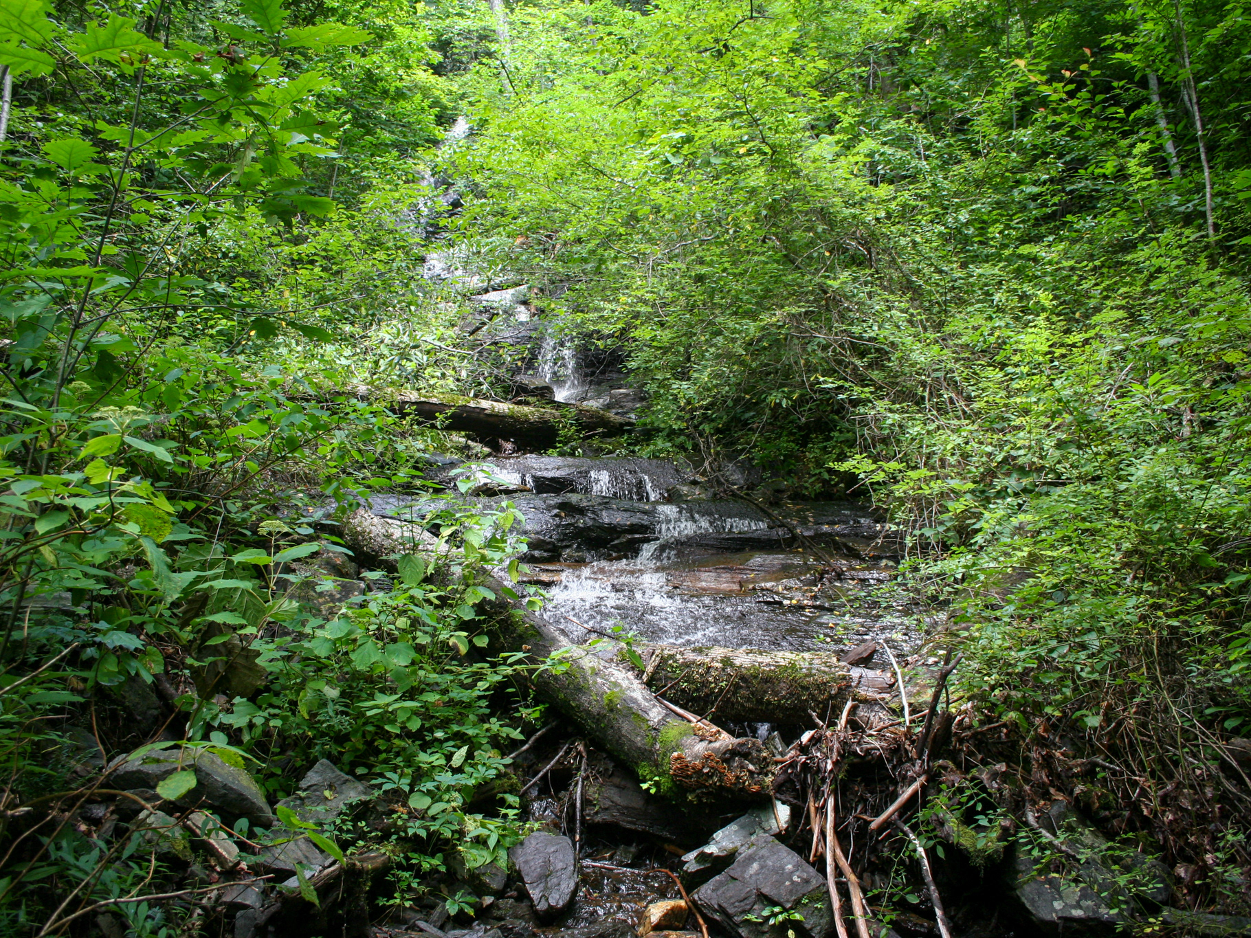
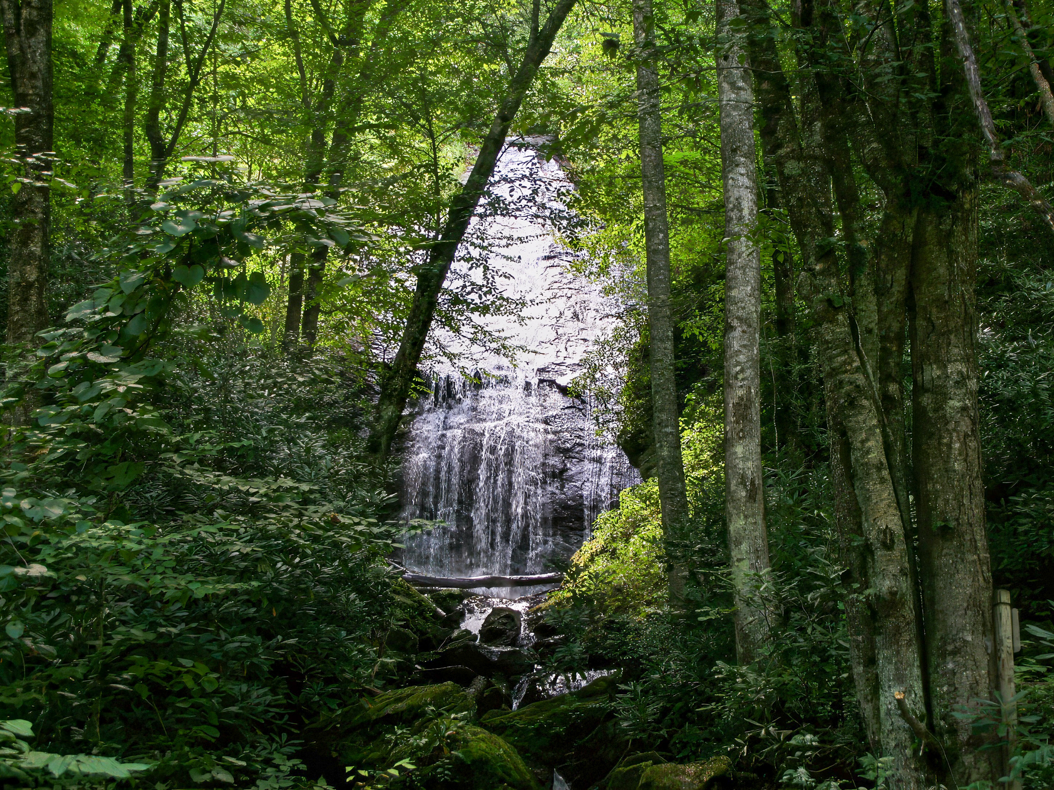
At the trailhead there is a small pull-off for 1-2 vehicles. From there, hike up the road for 2.8 miles until you reach the Kiesee Creek Road, which forks to the right. From there, it's about 0.9 miles to a four-way intersection, with Kiesee Creek Road continuing to the right, Chestnut Ridge Road straight ahead, and the Chestnut Falls Trail to the left. Take the left. This trail is a bit overgrown and hard to spot, but once you're in the woods, you should be able to located the path. A faded pink tree tie is visible. Follow the path down to the creek for 0.1 miles. Hike a few feet up the creek and the falls will come into view.
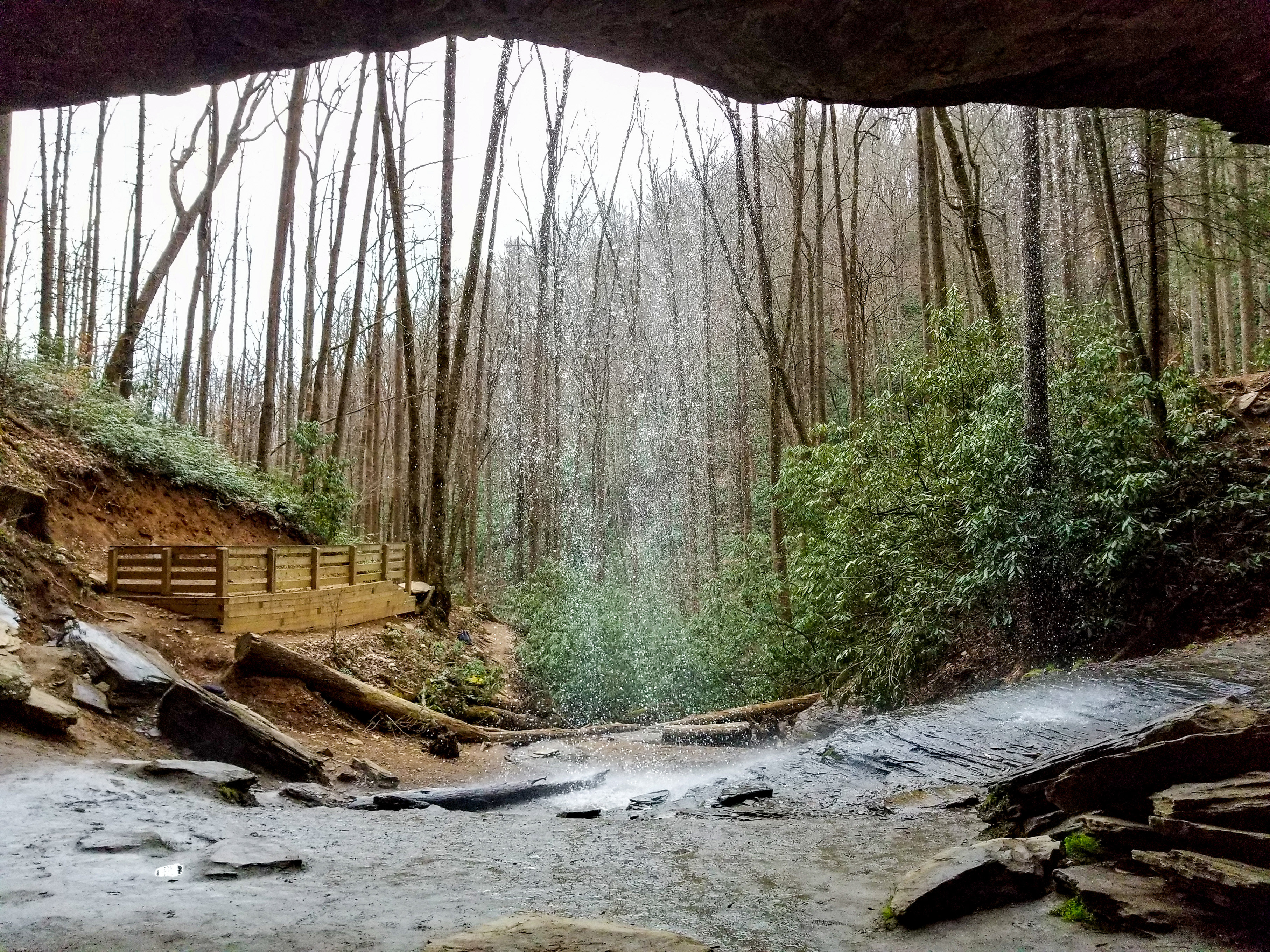
Lower Chestnut Falls does exist, dropping roughly 30 feet, but is essentially inaccessible unless hiking up the creek. A bit of a bushwhack down the ridge took me to an obstructed overlook, but I would not recommend this. To my knowledge, there is no clear path to reach the base for a better view.
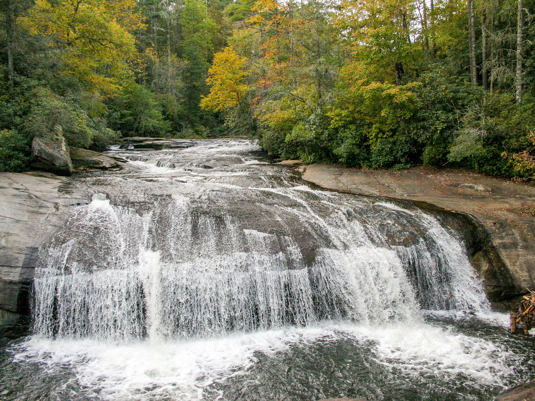
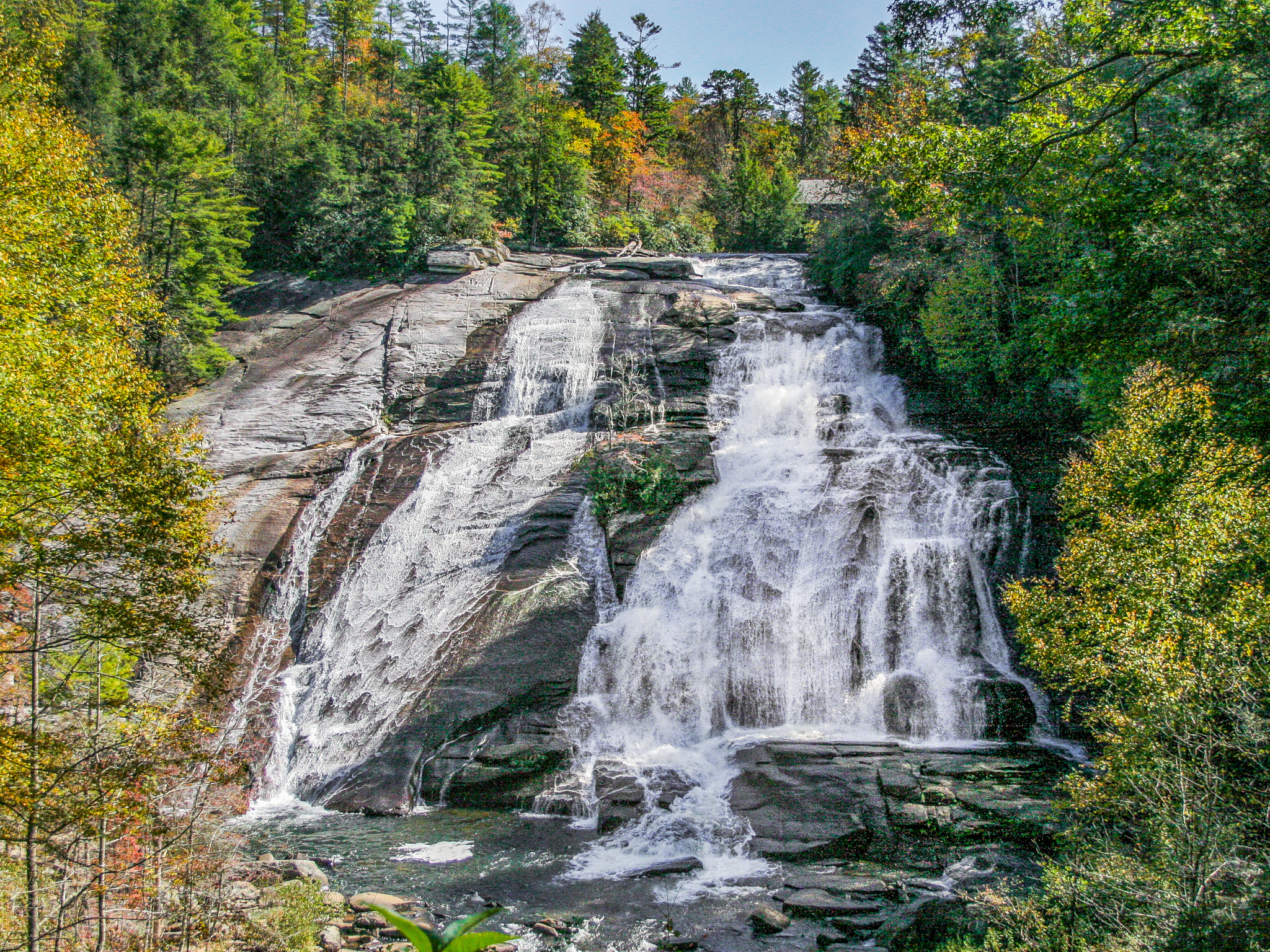
Looking for a little extra adventure? The same trailhead can be used for Courthouse Falls and Cody Falls.
Trailhead Location: 35.2479° N, 82.8881° W
GPS Location: 35.2790° N, 82.8874° W / 35.2774° N, 82.8873° W (Lower)
Parking: Roadside
Total Hike: 7.6 miles / 7.4 miles (Lower)
Wheelchair Accessible: No
Admission: Free
Open: 24/7
Swimming: N/A
Pets: Yes, with leash
GPS Location: 35.2790° N, 82.8874° W / 35.2774° N, 82.8873° W (Lower)
Parking: Roadside
Total Hike: 7.6 miles / 7.4 miles (Lower)
Wheelchair Accessible: No
Admission: Free
Open: 24/7
Swimming: N/A
Pets: Yes, with leash