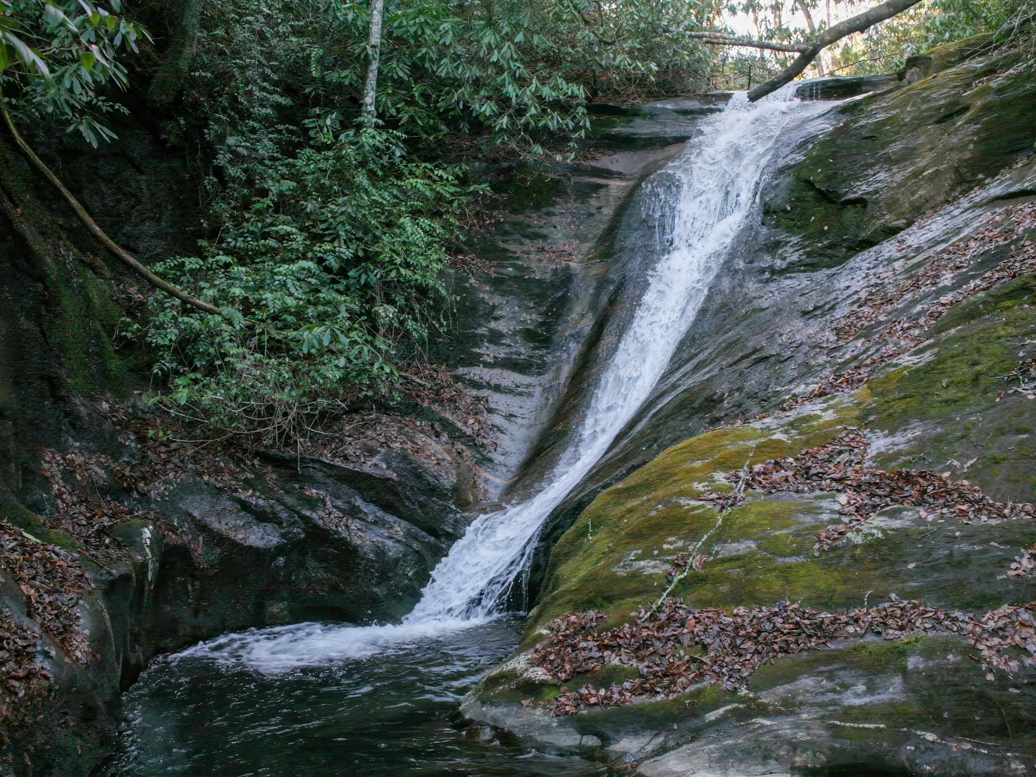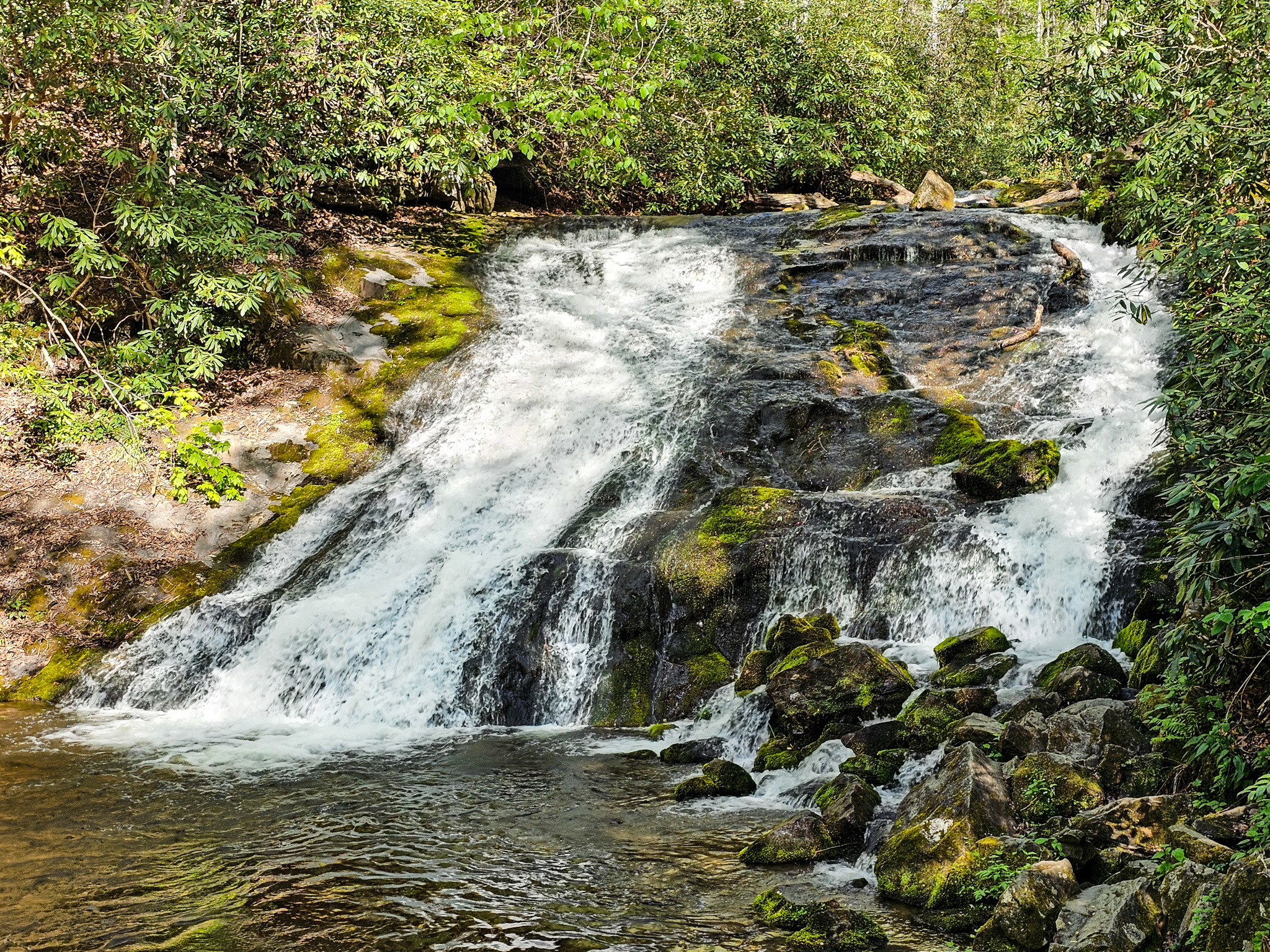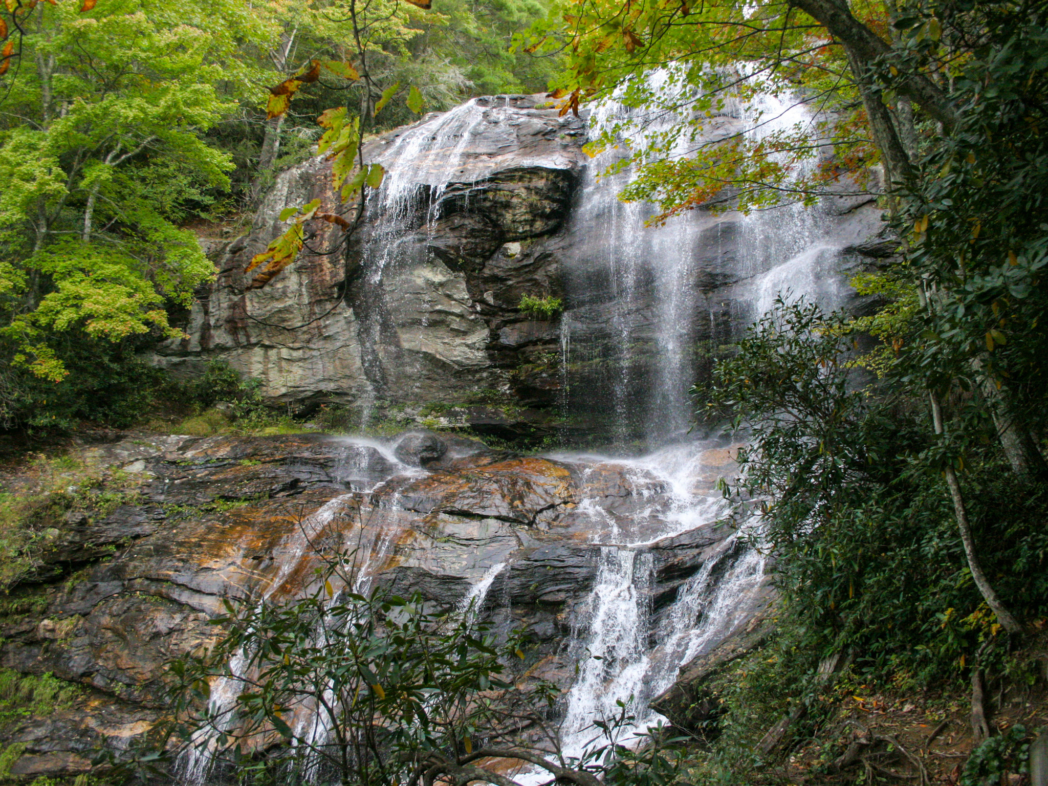
Barnett Branch Falls is a fairly unknown, 30-foot, 3-tiered waterfall along Barnett Branch within the Pisgah National Forest. Accessed via the Yellow Gap dirt road, the trailhead starts at a small pull-off on the lefthand side coming from Pisgah Highway. The hike to the falls is about 0.4 miles and requires a bit of uphill hiking. However, there is a wonderful dispersed camping spot along the trail, and the waterfall itself is suitable for lounging around on.
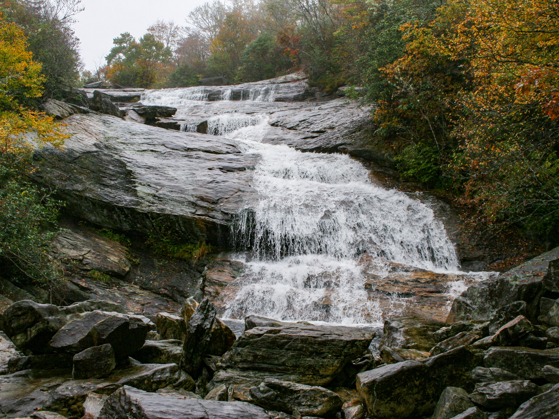
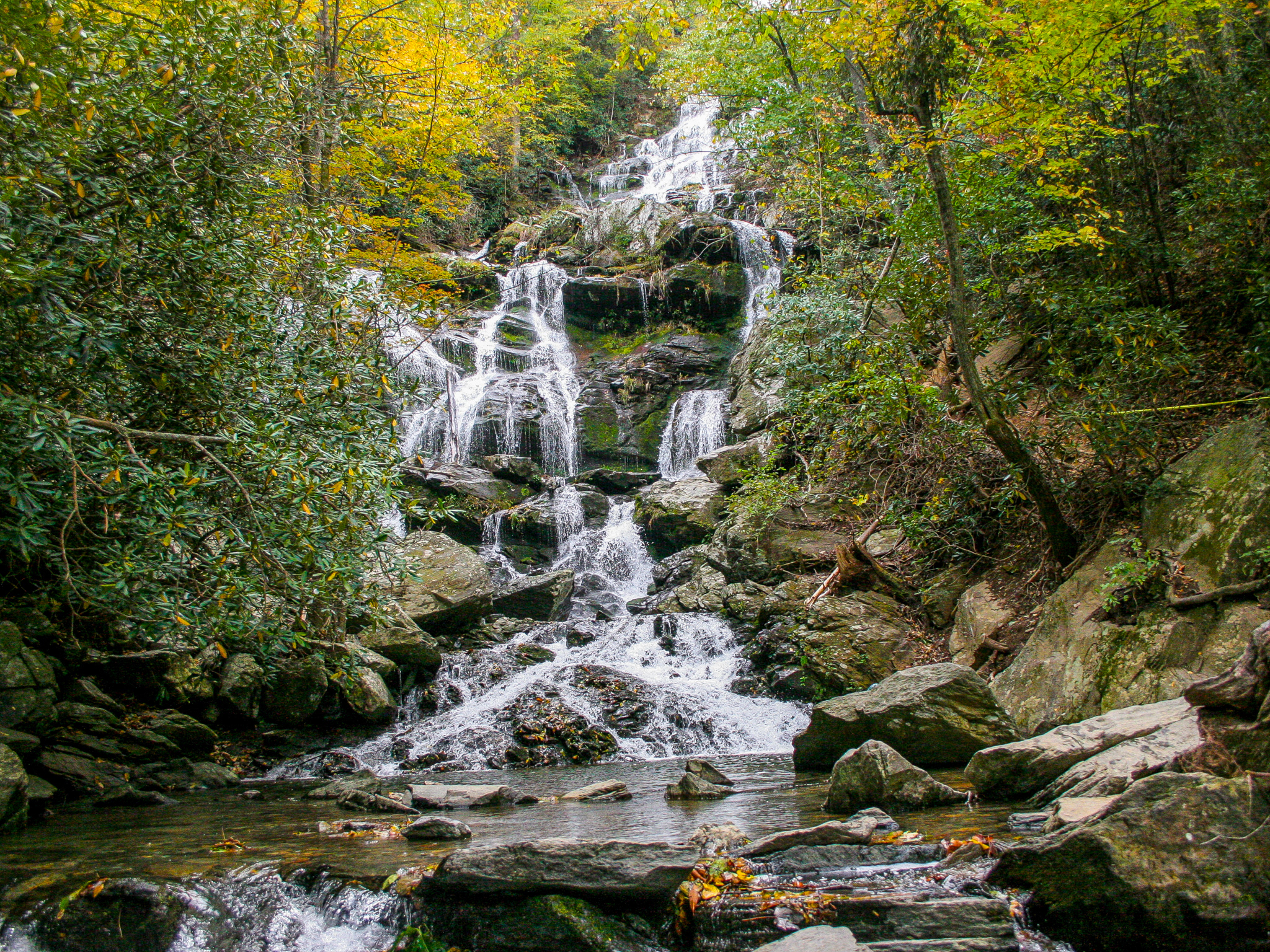
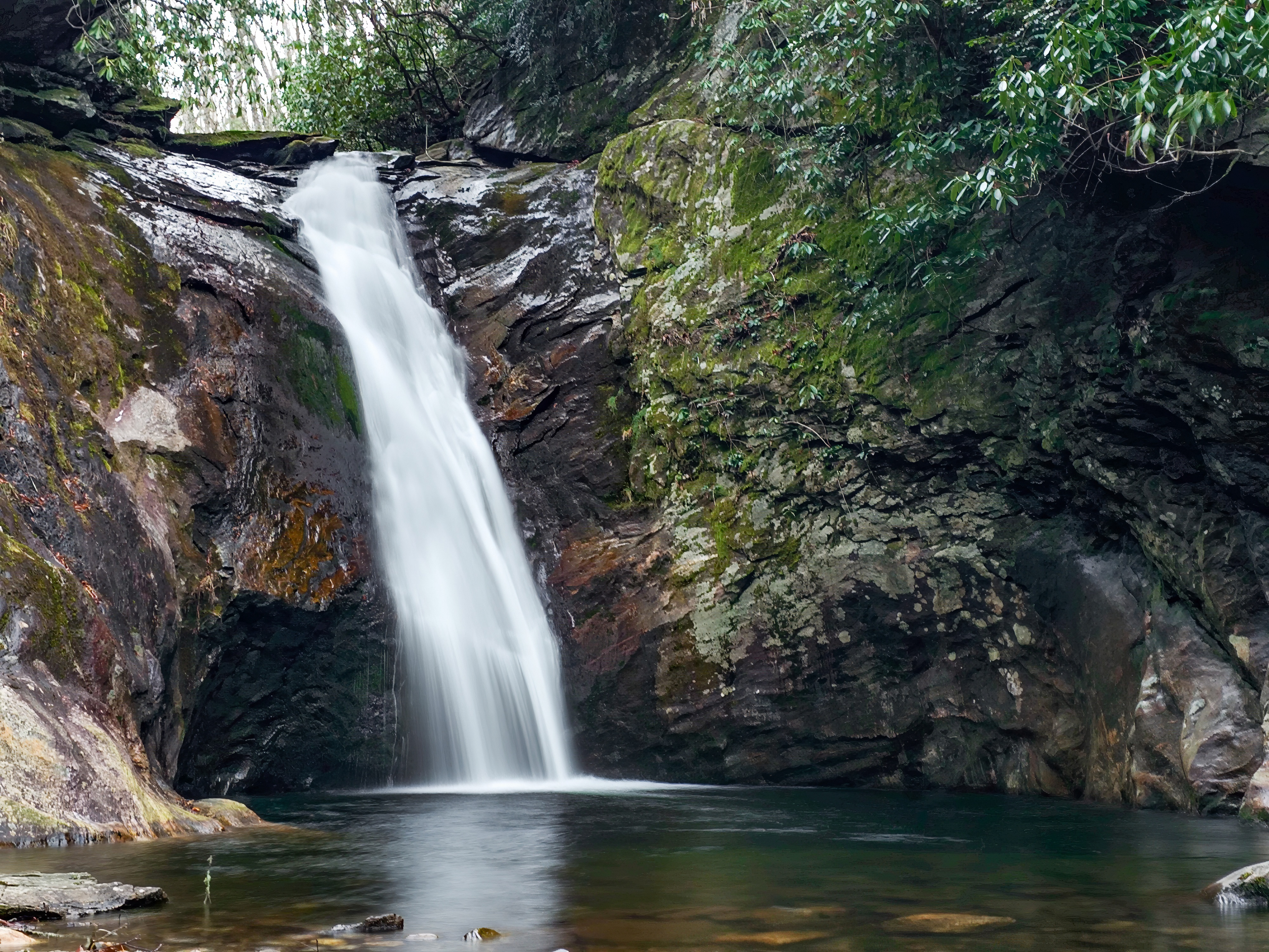
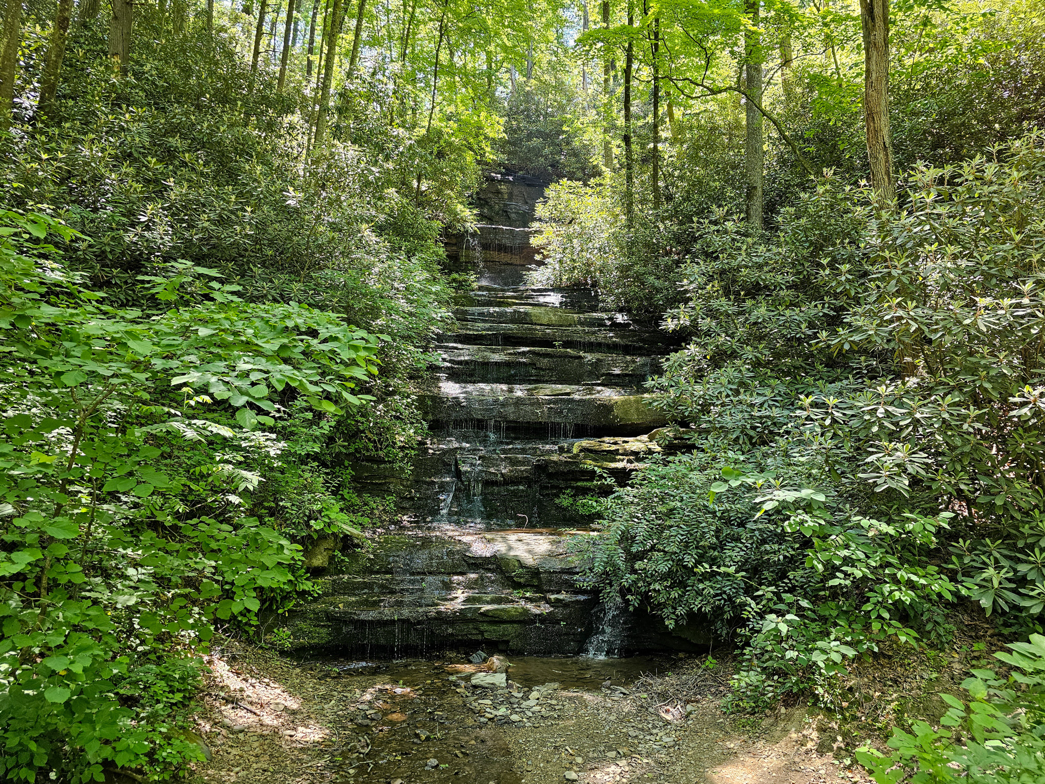
While this waterfall is lovely, an even more secluded one can be found just 0.2 miles further along the trail, the 75-foot Upper Barnett Branch Falls. From Barnett Branch Falls, take the path that forks to the right when approaching the waterfall initially. Follow it for a tenth of a mile until it takes a sharp turn. After another tenth of a mile, Upper Barnett Branch Falls will come into view. This waterfall is taller, but not quite as accessible or easily photographed because there is a lot of foliage and no clear path to get very close to it. That said, a little bit of creative path finding will allow you a closer look. This is definitely a good spot for a quick stop!
Barnett Branch Falls
Google Parking Location: 35.3691° N, 82.7694° W (no official Google address)
GPS Location: 35.3717° N, 82.7744° W
Parking: Roadside
Total Hike: 0.8 miles
Wheelchair Accessible: No
Admission: Free
Open: 24/7
Swimming: N/A
Pets: Yes, with leash
GPS Location: 35.3717° N, 82.7744° W
Parking: Roadside
Total Hike: 0.8 miles
Wheelchair Accessible: No
Admission: Free
Open: 24/7
Swimming: N/A
Pets: Yes, with leash
Upper Barnett Branch Falls
Google Parking Location: 35.3691° N, 82.7694° W (no official Google address)
GPS Location: 35.3725° N, 82.7751°
Parking: Roadside
Total Hike: 1.2 miles
Wheelchair Accessible: No
Admission: Free
Open: 24/7
Swimming: N/A
Pets: Yes, with leash
GPS Location: 35.3725° N, 82.7751°
Parking: Roadside
Total Hike: 1.2 miles
Wheelchair Accessible: No
Admission: Free
Open: 24/7
Swimming: N/A
Pets: Yes, with leash